Stage 5 : Lagrand - Savournon
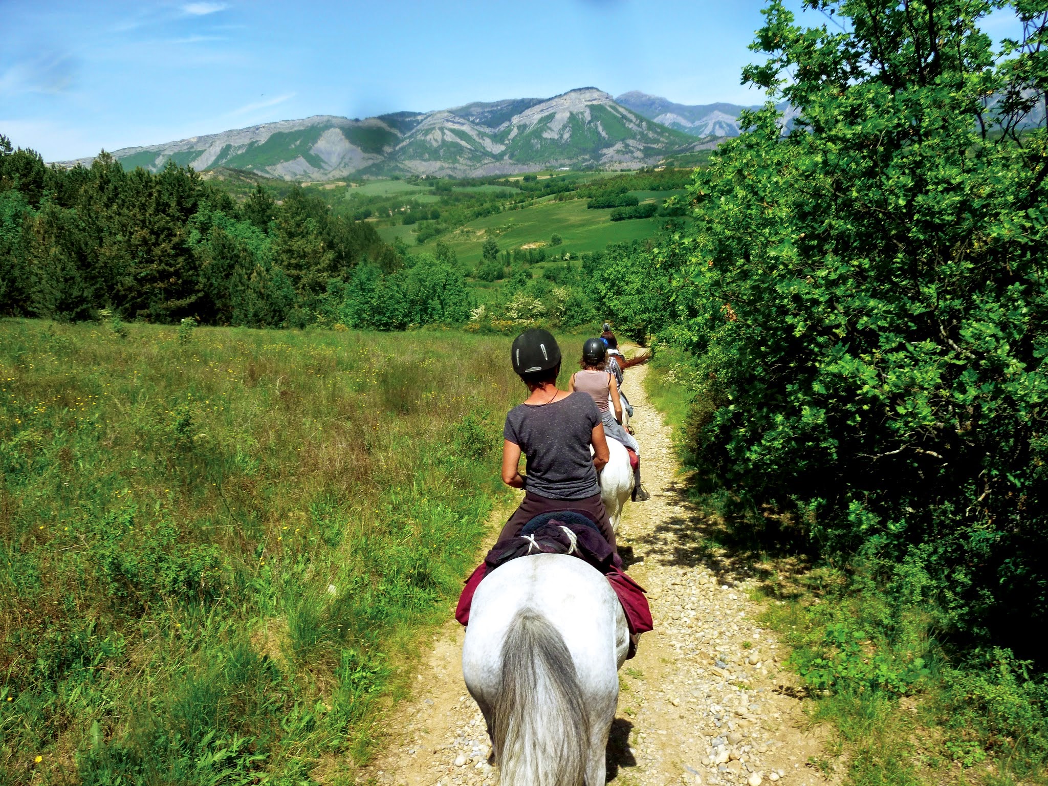
Garde-Colombe Medium
5. Stage 5 : Lagrand - Savournon
Medium1j
43,6km
+1320m
-1254m
Loop
Embed this item to access it offline
Description
Just past Lagrand lie the ruins of old Eyguians. All that remains of this ancient village are ruins waiting to be explored amid lush greenery and the song of cicadas: houses, ramparts, a cemetery, and a glazed-tile cistern…
Along the way, stop in Saint-Genis, a charming village with its lake and the Riou Gorges, set in a “Wild West”-style landscape of marl. Finally, the route continues on to Savournon. The Channe Valley, nestled in the foothills of the Montagne d’Aujour, is wide open and sunny, and is known for its sheep farming: its famous Savournon lamb graces the tables of fine restaurants everywhere.
Along the way, stop in Saint-Genis, a charming village with its lake and the Riou Gorges, set in a “Wild West”-style landscape of marl. Finally, the route continues on to Savournon. The Channe Valley, nestled in the foothills of the Montagne d’Aujour, is wide open and sunny, and is known for its sheep farming: its famous Savournon lamb graces the tables of fine restaurants everywhere.
- Departure : Lagrand
- Arrival : Savournon
- Towns crossed : Garde-Colombe, Laragne-Montéglin, Lazer, Upaix, Ventavon, and Savournon
Forecast
Altimetric profile
Recommandations
You can stop in Ventavon to split the stage into two parts.
4 points of interest
 Panorama
Viewpoint
On the climb up Vieil Eyguians, you’ll find a small bench where you can enjoy a beautiful view of Mount Chabre, the Eyglière ridge, and the Rocher de Beaumont.- Panorama
Viewpoint
Enjoy a magnificent view of the Garde-Colombe valleys on one side and the Lazerois valleys on the other. The Chabre and Saint-Genis mountains are also visible.  Pass
PassFaye pass
The Col de Faye, located at an elevation of 922 meters, connects the Savournon Valley with the towns of Faye, Lazer, and Ventavon. This route, well known to locals, saves time when traveling from the Gap road to Serrois by avoiding detours of several dozen kilometers. It is also one of the highest points on the “Tour de la montagne d’Aujour” cycling trail. Lake and river
Channe stream
Originating at Rocher de la Pisse, near the summit of Beynon, the Channe stream flows through the entire valley before emptying into the Canal des Grès. It crosses the “Tour du Buëch” regional hiking trail at a bridge on the road between Savournon and the Jubéo parking lot.
Report a problem or an error
If you have found an error on this page or if you have noticed any problems during your hike, please report them to us here: