Stage 1 : Savournon - Montmorin
Savournon Medium
1. Stage 1 : Savournon - Montmorin
Medium1j
35,3km
+1550m
-1450m
Embed this item to access it offline
Description
The journey begins in Savournon and the Channe Valley, at the foot of the Montagne d’Aujour. This wide-open, sun-drenched valley is known for its sheep farming: its famous Savournon lamb is served at all the finest restaurants. In the village, it’s worth stopping at the ruins of the Château de l’Aigle (12th century), which overlook the entire valley.
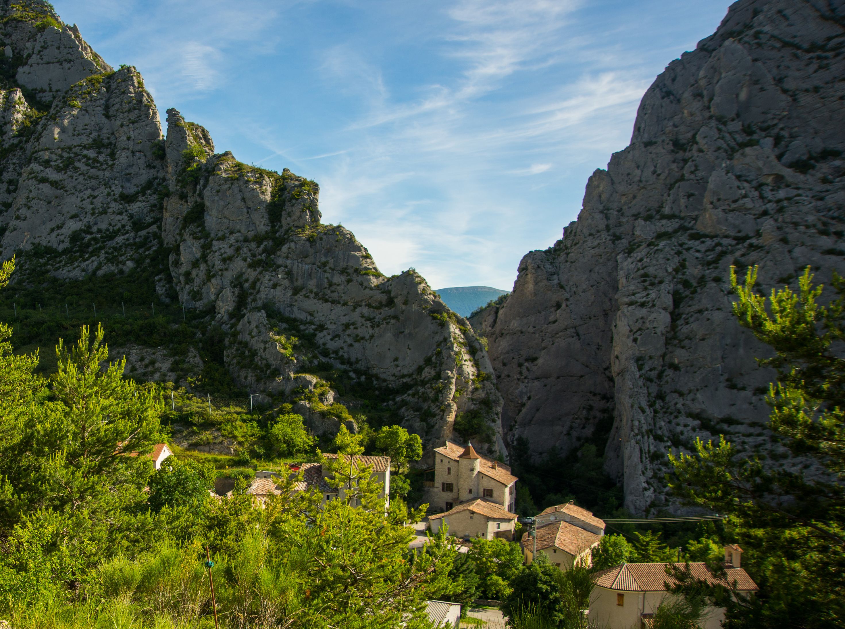
The route then leads to Serres, a picturesque medieval town nestled against the Pignolette rock. A unique sundial, “La Méridienne” (1882), adorns the school’s façade. Along the way, enjoy the superb view of the Buëch Valley from the Saumane Chapel, at an altitude of 1,200 meters. Pass through Sigottier, an unusual site with its narrow rocky gorge known as a “clue,” which serves as “a geological and climatic gateway to Provence.” Along the way, visit an Angora and cashmere goat farm at “La Montagne.”
The Col d’Arron is an ideal spot to take a break at the foot of the Duffre. Spend the night in Montmorin, in the Oule Valley—a region known for its linden trees and walnuts, with several farm stands. Along the way, enjoy the panoramic viewpoint at the Col des Tourettes.
The route then leads to Serres, a picturesque medieval town nestled against the Pignolette rock. A unique sundial, “La Méridienne” (1882), adorns the school’s façade. Along the way, enjoy the superb view of the Buëch Valley from the Saumane Chapel, at an altitude of 1,200 meters. Pass through Sigottier, an unusual site with its narrow rocky gorge known as a “clue,” which serves as “a geological and climatic gateway to Provence.” Along the way, visit an Angora and cashmere goat farm at “La Montagne.”
The Col d’Arron is an ideal spot to take a break at the foot of the Duffre. Spend the night in Montmorin, in the Oule Valley—a region known for its linden trees and walnuts, with several farm stands. Along the way, enjoy the panoramic viewpoint at the Col des Tourettes.
- Departure : Savournon
- Arrival : Montmorin
- Towns crossed : Savournon, Bersac, Serres, Sigottier, Épine, and Valdoule
Forecast
Altimetric profile
2 points of interest

 Lake and river
The Buëch River
A tributary of the Durance, the Buëch Riover is a peaceful river that irrigates many apple fields and other orchards along its course. Taking its source in Lus-la-Croix-Haute, the stream stretches for 85 kilometers and drops to an altitude of nearly 2,000 meters.
 Geology
Sigottier Cliff
Overlooking Sigottier village, this cliff is a significant rock-climbing site. Around thirty routes are settled with an initiation area for beginners.
Report a problem or an error
If you have found an error on this page or if you have noticed any problems during your hike, please report them to us here: