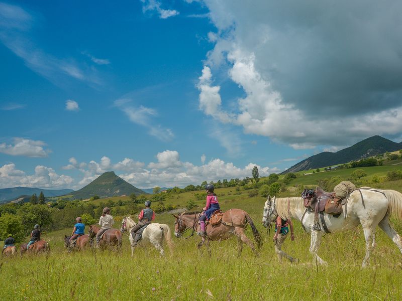
Exploring villages and local flavors on horseback
 Medium
5 steps
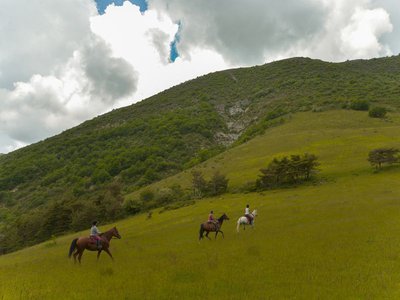
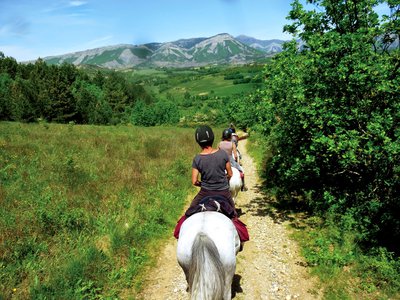
Description
- Departure : Village center, Savournon
- Arrival : Village center, Savournon
- Towns crossed : Serres, Sigottier, Épine, Valdoule, Ribeyret, Moydans, Rosans, Saint-André-de-Rosans, Sorbiers, Montjay, Étoile-Saint-Cyrice, Chanousse, Orpierre, Garde-Colombe, Trescléoux, Laragne-Montéglin, Lazer, Upaix, Ventavon, Savournon, and Bersac
Forecast
Altimetric profile
Recommandations
To avoid any problems, it is strongly advised not to bring a pet dog, even if it is on a leash.
If you come across a herd, stay calm: stop, let the guard dogs get a sense of who you are, then give the herd a wide berth without making any sudden movements. When facing a livestock guard dog, do not make any sudden movements, do not look it in the eyes (like any dog, it may perceive a fixed gaze as aggression), stop until it has identified you, remain calm and passive, do not threaten it, and do not pet it.
To learn the proper actions to take when encountering livestock guard dogs, visit: https://rando.sisteron-alpesprovencales.fr/information/14-Les-patous-et-nous-!
- Trails currently undergoing upgrades. Certain sections will be modified: around the Bois de Faye in the town of Savournon (north-facing slope of Montagne de l'Aup), in the hamlet of Arzeliers (locally known as L'Ecluse) north of Laragne, and northwest of Orpierre (hamlet of La Montagne, Les Planes area).
- Help ensure the quality of your riding areas. The Suricate website allows you to report any issues you encounter while riding.
- Be sure to close the gates to the pastures; do not startle the herds.
- Horses are considered “vehicles.” As such, they are subject to traffic laws.
- Wearing safety gear (helmet) is recommended.
- Possible starting point from Rosans, west of the loop
- This trail is marked in two colors: yellow where it follows PR trails and white-red where it follows GR 94 and 91 (equestrian markers will still be present).
Information desks
Place du village, 05700 Orpierre
Rue Aristide Briand, 05150 Rosans
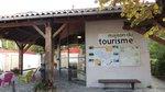
Place du Lac, 05700 Serres
Transport
Access and parking
Parking :
8 points of interest

 Geology
Sigottier Cliff
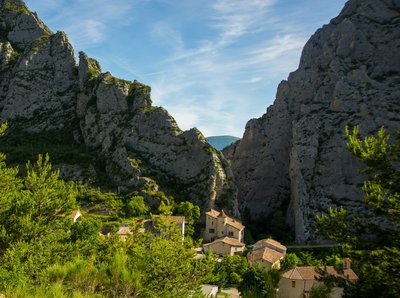
Overlooking Sigottier village, this cliff is a significant rock-climbing site. Around thirty routes are settled with an initiation area for beginners.
 Flora
FloraBroom Flowers
Mostly situated around the mediterranean area and in the Côte d’Azur, broom flowers (Cytisius scoparius) can even be found in south Alps. Broom flowers can be seen on the whole territory and their sight and scent are very enjoyable. Broom flowers also make the landcape lovely.
 Lake and river
The Ceans
Taking its source at the top of the mountain of Chamouse, the Ceans crosses all the Orpierrois-district before flowing into the Buëch at the level of Garde-Colombe. Over 22 km long, the torrent partly follows the route of the Princes of Orange.
- Panorama
Viewpoint
On the climb up Vieil Eyguians, you’ll find a small bench where you can enjoy a beautiful view of Mount Chabre, the Eyglière ridge, and the Rocher de Beaumont. - Panorama
Viewpoint
Enjoy a magnificent view of the Garde-Colombe valleys on one side and the Lazerois valleys on the other. The Chabre and Saint-Genis mountains are also visible.  Pass
PassFaye pass
The Col de Faye, located at an elevation of 922 meters, connects the Savournon Valley with the towns of Faye, Lazer, and Ventavon. This route, well known to locals, saves time when traveling from the Gap road to Serrois by avoiding detours of several dozen kilometers. It is also one of the highest points on the “Tour de la montagne d’Aujour” cycling trail.- Lake and river
Channe stream
Originating at Rocher de la Pisse, near the summit of Beynon, the Channe stream flows through the entire valley before emptying into the Canal des Grès. It crosses the “Tour du Buëch” regional hiking trail at a bridge on the road between Savournon and the Jubéo parking lot. - Lake and river
The Buëch River
A tributary of the Durance, the Buëch Riover is a peaceful river that irrigates many apple fields and other orchards along its course. Taking its source in Lus-la-Croix-Haute, the stream stretches for 85 kilometers and drops to an altitude of nearly 2,000 meters.
More information


Report a problem or an error
If you have found an error on this page or if you have noticed any problems during your hike, please report them to us here: