Step 4 : Entrepierres - Sisteron
Entrepierres Medium
4. Step 4 : Entrepierres - Sisteron
3h
6,6km
+253m
-340m
Embed this item to access it offline
Description
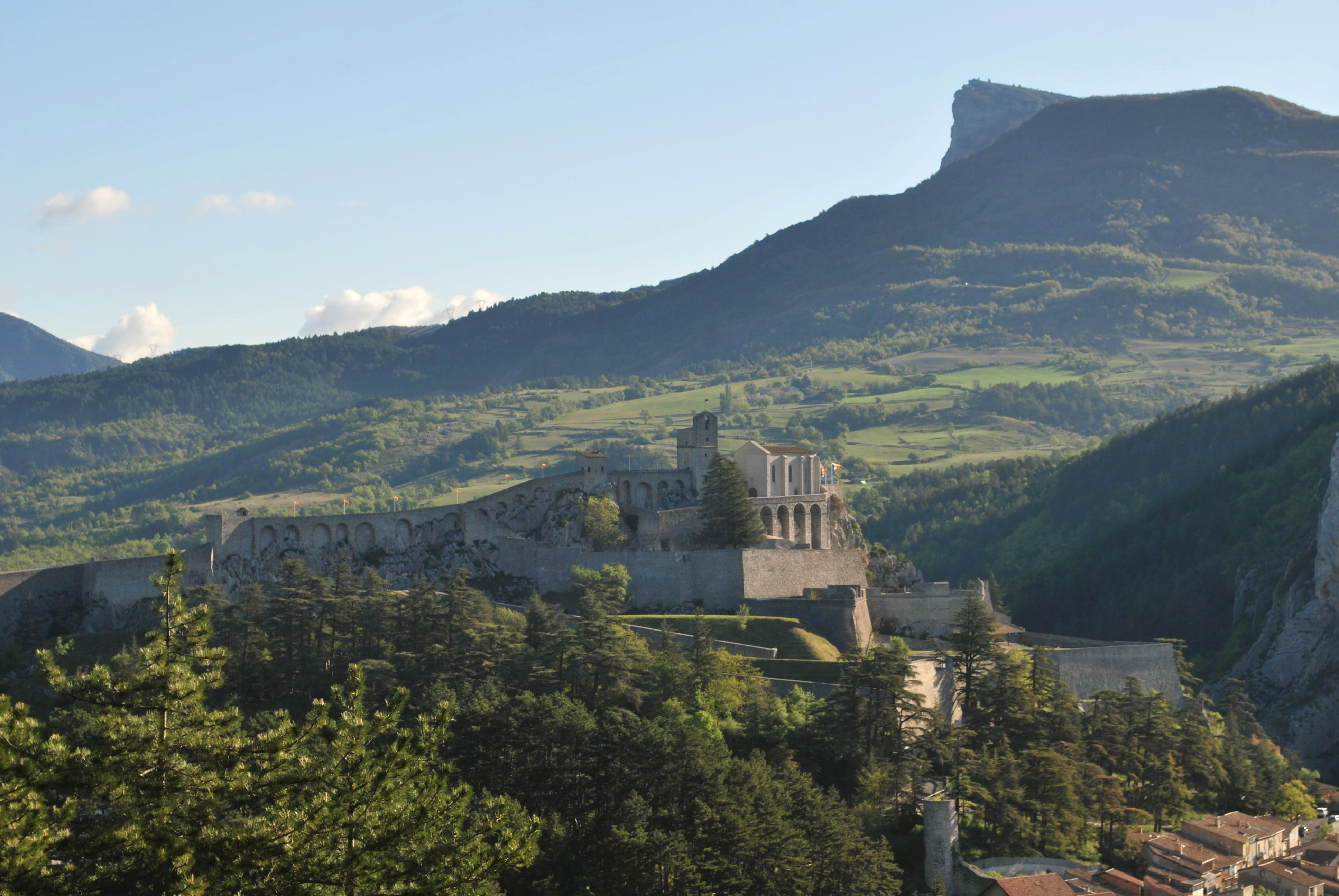
A short stretch offering views of Montagne de la Baume in the background. The forest road climbs up this mountain before turning into a trail and descending toward Sisteron along the southern ridge of Montagne de la Baume. The Citadel and the town center come into view through the trees, signaling that you’re almost there.
- Departure : Village, Entrepierres
- Arrival : City of Sisteron
- Towns crossed : Entrepierres and Sisteron
Forecast
Altimetric profile
1 point of interest
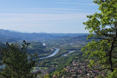
La Durance - CCSB  Lake and river
The Durance River
More than a mere river, the Durance is a force of nature. From its source in Mongenèvre at an altitude of 2300 metres it rolls its way over 302 kilometres until it finally flows into the Rhône. Over time, there has been greater control by man over the river, particularly with the construction of the Serre-Ponçon dam, and it is an essential artery for the Hautes-Alpes.
Source : www.hautes-alpes.net
Report a problem or an error
If you have found an error on this page or if you have noticed any problems during your hike, please report them to us here: