Step 3: Authon – Beaudinard (via the summit and Monges lake)
Authon Medium
3. Step 3: Authon – Beaudinard (via the summit and Monges lake)
Medium16,4km
+1102m
-1148m
Embed this item to access it offline
Forecast
Altimetric profile
Recommandations
You can ask the Reynier innkeeper to arrange transportation to the inn so you can spend the night there
4 points of interest
 Panorama
Orientation table
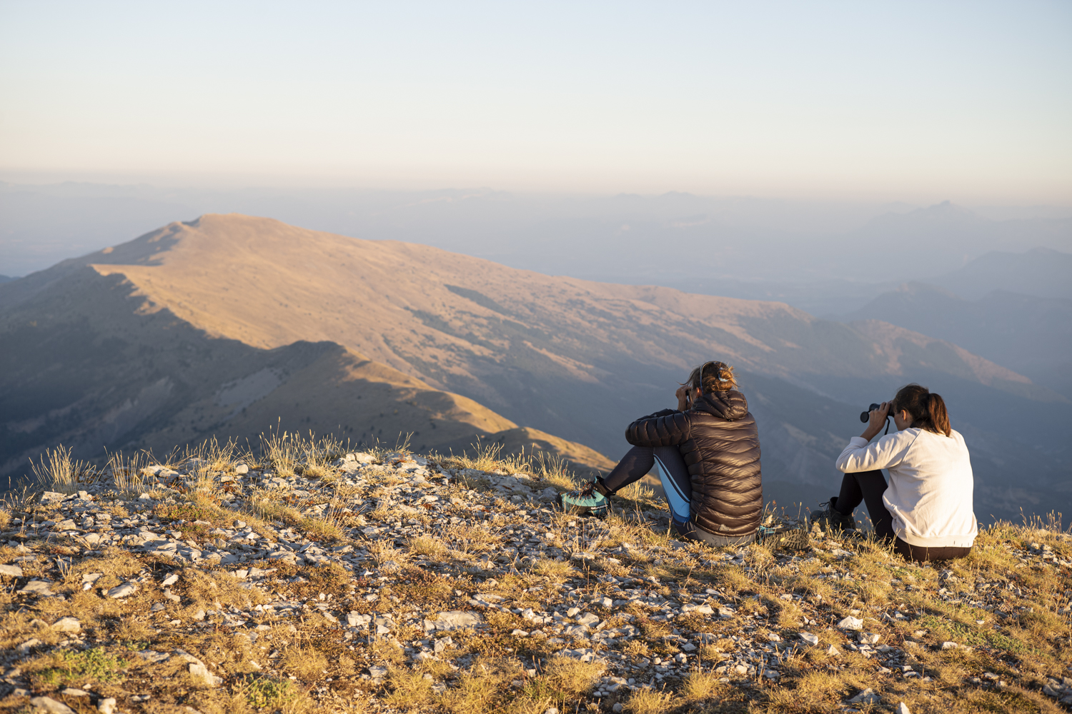
At the summit of Coste Belle, located just a few meters from the highest point of the Monges hike, a semi-circular orientation table was installed in 2017, highlighting the many peaks visible on the horizon. From this panoramic viewpoint, you can spot the peaks of the Vercors, Dévoluy, Ecrins, Queyras, Ubaye, Mercantour, Verdon, and Luberon mountain ranges.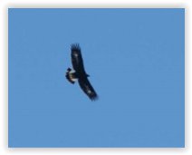
Office de Tourisme La Motte du Caire  Fauna
FaunaGolden Eagle (Aigle royal)
This “king of birds” or bird of Zeus regularly soars over the entire mountain range, leaving no animal indifferent. Marmots whistle if he gives them the chance, other birds flutter about, while the chough or, at times, the raven, scolds him.
The royal attribute, beyond its appearance, its flight, the stern gaze it seems to possess, and the strength of its beak and talons, has long been associated with the power of the one it seems to embody: the monarch. Yet, in ornithological terminology, this term means nothing other than “true” or “real.” The Golden Eagle is therefore above all the true eagle, the genuine eagle. Capable of living for over 25 years, this “king of birds” possesses vision eight times more acute than that of a human. Its nesting site generally consists of several nests or roosts in which one or two young attempt to survive. Very often, a lack of food proves fatal to the youngest chick. Once it leaves the nest, the young eagle is easily recognizable by the clearly visible white spots on and under its wings and tail: the distinctive markings clearly visible in our photo.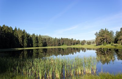
Au printemps - Office de Tourisme La Motte du Caire  Lake and river
Monges lake
Lake des Monges is an artificial lake created in 1970 when the forest road was opened. Originally, the site was a marsh, and with the construction of the dam, the lake gradually formed (fed by snowmelt and rainfall).
Its depth varies significantly, ranging from 1.80 m to 2 m.
The Sisteron Fishing Association has carried out numerous stocking efforts (with various species: trout, Arctic char, carp, etc.), but only the tench have survived.
Fishing is permitted (standard fishing license required).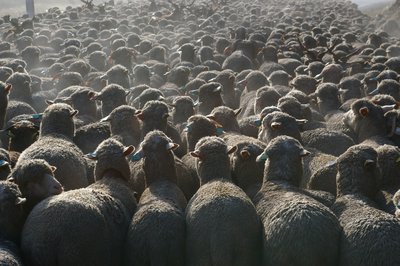
Office de Tourisme La Motte du Caire 
The transhumance
In the past, from Provence to the Southern Alps, vast herds would make their way to the Alps as summer approached. These transhumances (from the Greek “trans,” meaning “across,” and “humus,” meaning “soil”) took place along mountain trails or paths reserved primarily for the movement of herds. These routes played a vital role in attracting people, fostering strong local economies, as well as shaping culture, architecture, biological diversity, and the environmental value of the region. On this trail, you find yourself in the heart of one of these transhumance routes (after descending through the beech forest to the pastures of Clapouse). Today, most livestock is transported by livestock trucks. Nevertheless, come fall, the bleating of sheep and the ringing of cowbells still echo across these highlands of Provence.
Report a problem or an error
If you have found an error on this page or if you have noticed any problems during your hike, please report them to us here: