Step 2 : Savournon - Laragne
Savournon Medium
2. Step 2 : Savournon - Laragne
6h
17,7km
+444m
-604m
Embed this item to access it offline
Forecast
Altimetric profile
Information desks

Place des Aires, 05300 Laragne-Montéglin
4 points of interest

 Lake and river
Channe stream
Originating at Rocher de la Pisse, near the summit of Beynon, the Channe stream flows through the entire valley before emptying into the Canal des Grès. It crosses the “Tour du Buëch” regional hiking trail at a bridge on the road between Savournon and the Jubéo parking lot.- Lake and river
The Riou
The Riou takes its source at the bottom of the valley, digging beautiful gorges. It then comes to fill the Riou lake, very popular spot among tourists and locals during hot Summer days.
- Lake and river
Riou canyon
Taking its source in the heart of the national forest of Beynon, the Riou dug its gorges. The Gorges du Riou connects the Jubéo Forest and the village of Saint-Genis.
- Lake and river
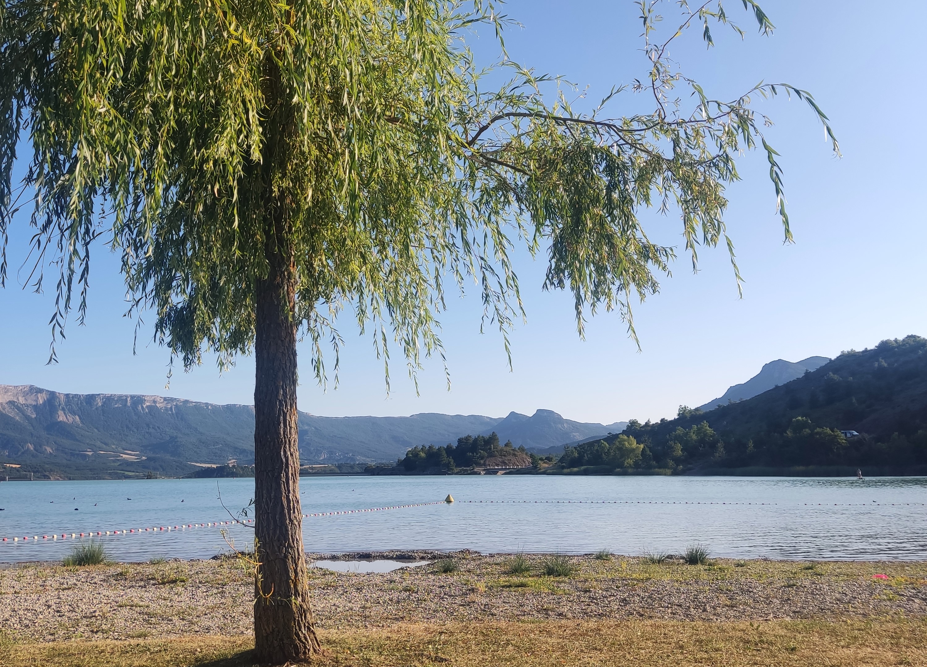
Riou lake
Fed by the stream of the same name, Lac du Riou is a popular spot for locals and tourists alike during the summer.
With supervised swimming in July and August and plenty of amenities (tables, restrooms, playground equipment, and more), Lac du Riou is the perfect place to stop for a refreshing break.
More information
Report a problem or an error
If you have found an error on this page or if you have noticed any problems during your hike, please report them to us here: