Tour du Buëch
6 steps
Description
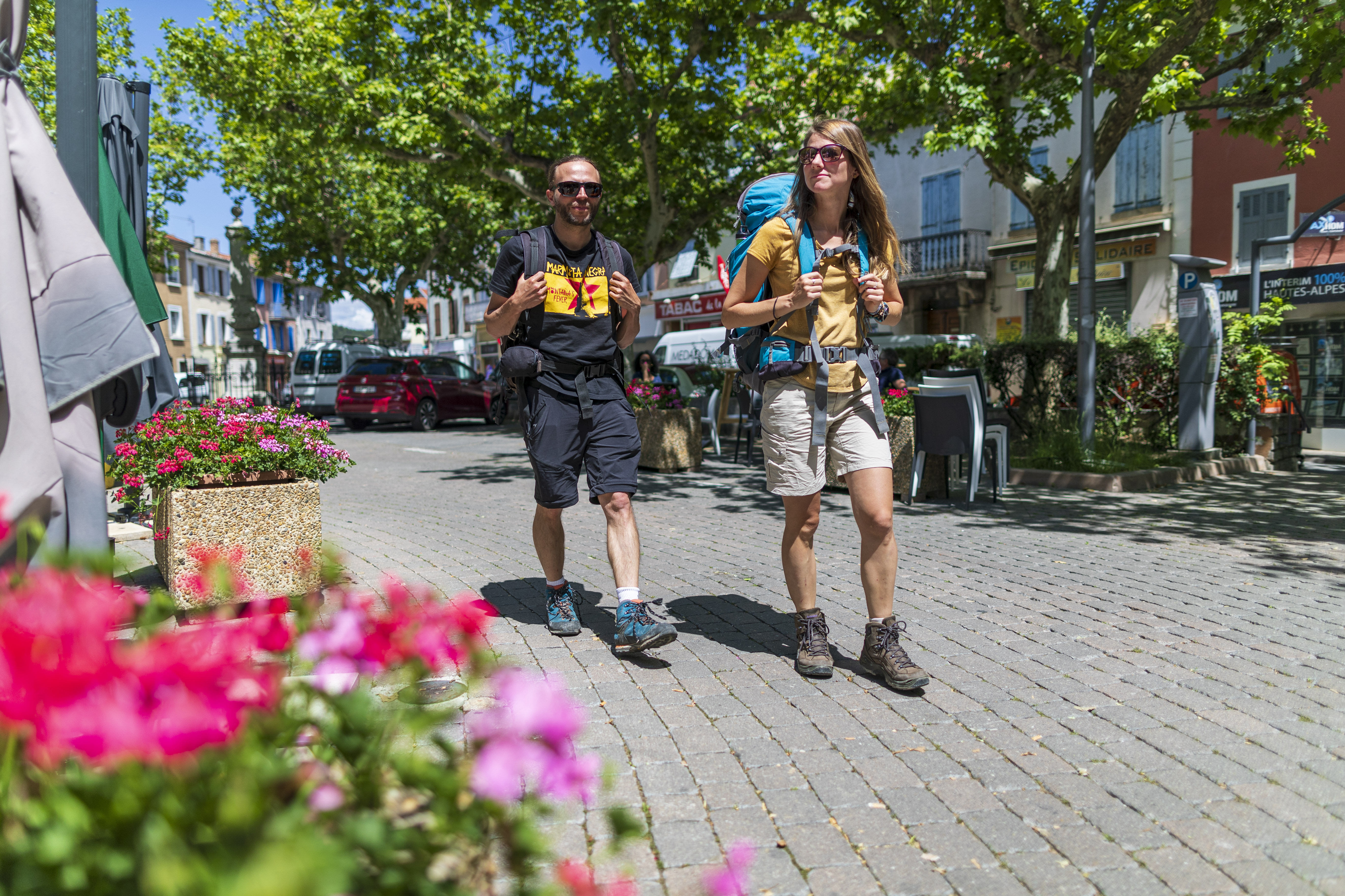
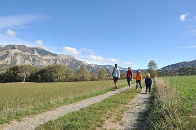
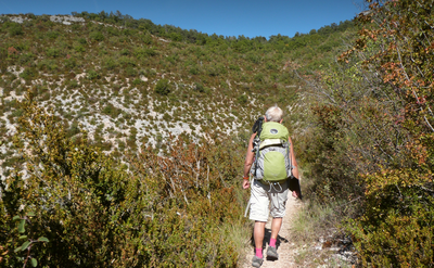
For all hikers seeking tranquility, this trail—far from any major cities—is a true journey to a distant land, a unique opportunity to treat yourself to a beautiful change of scenery with the sweet scent of Provence.
- Departure : Village, Serres
- Arrival : Village, Serres
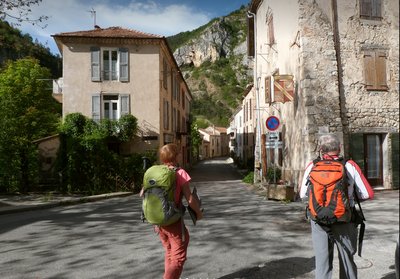
- Towns crossed : Serres, Bersac, Savournon, Garde-Colombe, Laragne-Montéglin, Val Buëch-Méouge, Saint-Pierre-Avez, Barret-sur-Méouge, Sainte-Colombe, Orpierre, Trescléoux, Chanousse, Méreuil, Montclus, and Sigottier
Forecast
Altimetric profile
Recommandations
To minimize the risk of conflict, bringing pets is strongly discouraged, even if they are on a leash.
Cyclists, please be especially vigilant: upon seeing a herd, you must get off your bike, stop, and allow the dogs to assess you. Then, give the herd a wide berth, keeping your bike between you and the guard dog.
In any case, remain calm, avoid sudden movements, and do not attempt to cross through the herd.
→ To learn more about how to behave around guard dogs: https://rando.sisteron-alpesprovencales.fr/information/14-Les-patous-et-nous-!
- Adapt your gear to the day’s weather conditions. The Pays du Buëch can experience intense heat in summer and the harshness of a mountain climate year-round. Be sure to bring plenty of water and sturdy shoes. Trails can be very steep and technical in places.
Information desks

Place du village, 05700 Orpierre

Place des Aires, 05300 Laragne-Montéglin
Place du Lac, 05700 Serres
Transport
Access and parking
- From Grenoble (108 km), take the A51 and the D75 (passing through the Col de La Croix Haute) toward Serres.
- From Montélimar (115 km), head to Nyons, then follow the D94 to Serres.
Parking :
11 points of interest

 Lake and river
The Buëch River
A tributary of the Durance, the Buëch Riover is a peaceful river that irrigates many apple fields and other orchards along its course. Taking its source in Lus-la-Croix-Haute, the stream stretches for 85 kilometers and drops to an altitude of nearly 2,000 meters.
- Lake and river
Channe stream
Originating at Rocher de la Pisse, near the summit of Beynon, the Channe stream flows through the entire valley before emptying into the Canal des Grès. It crosses the “Tour du Buëch” regional hiking trail at a bridge on the road between Savournon and the Jubéo parking lot. - Lake and river
The Riou
The Riou takes its source at the bottom of the valley, digging beautiful gorges. It then comes to fill the Riou lake, very popular spot among tourists and locals during hot Summer days.
- Lake and river
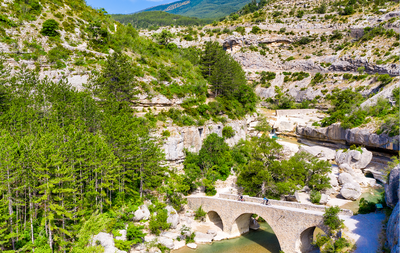
Riou canyon
Taking its source in the heart of the national forest of Beynon, the Riou dug its gorges. The Gorges du Riou connects the Jubéo Forest and the village of Saint-Genis.
- Lake and river
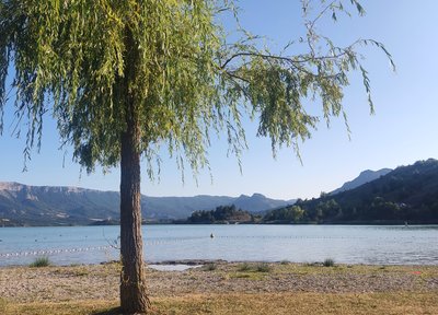
Riou lake
Fed by the stream of the same name, Lac du Riou is a popular spot for locals and tourists alike during the summer.
With supervised swimming in July and August and plenty of amenities (tables, restrooms, playground equipment, and more), Lac du Riou is the perfect place to stop for a refreshing break. - Lake and river
The Ceans
Taking its source at the top of the mountain of Chamouse, the Ceans crosses all the Orpierrois-district before flowing into the Buëch at the level of Garde-Colombe. Over 22 km long, the torrent partly follows the route of the Princes of Orange.
- Lake and river
Blaisance river
La Blaisance takes its source upstream from the town of Montjay, it is a confluence of several torrents. It flows to the town of Garde-Colombe, passing through Trescléoux. It then flows into the Buëch.
 Pass
PassSaumane Pass
The Saumane Pass (1029 m) allows you to reach Serres via the Chapelle de Saumane or the ridge Crête de Fontarache. It also allows access to the Rocher de Jardanne and to reach the village of Sigottier. This grassy path, shaded by trees offers an ideal venue for a break or a picnic in calm weather.
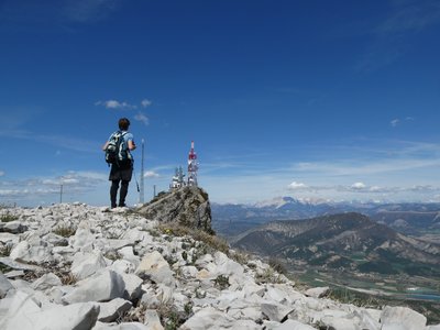
 Summit
Crête de Fontarache
The Crête de Fontarache is an essential passage between Serres and the Col de Saumane for hikers following the Sentier des Moines.
- Panorama
Viewpoint
The Sentier des Moines dominates the Serrois valley and offers beautiful views of the area, especially from the ridge Crête de Fontarache .
 Geology
Pointed rock
This Pointed Rock dominates the Sentier des Moines. It stands out due to its shape. It emerges from the ground and overlooks the surroundings and offers a beautiful view of the village of Serres, its valley and the Buëch river. Its characteristic pointed shape is impressive and makes it the geological specificity of Serres.
More information
Report a problem or an error
If you have found an error on this page or if you have noticed any problems during your hike, please report them to us here: