
Step 1 : Ribiers - Eourres
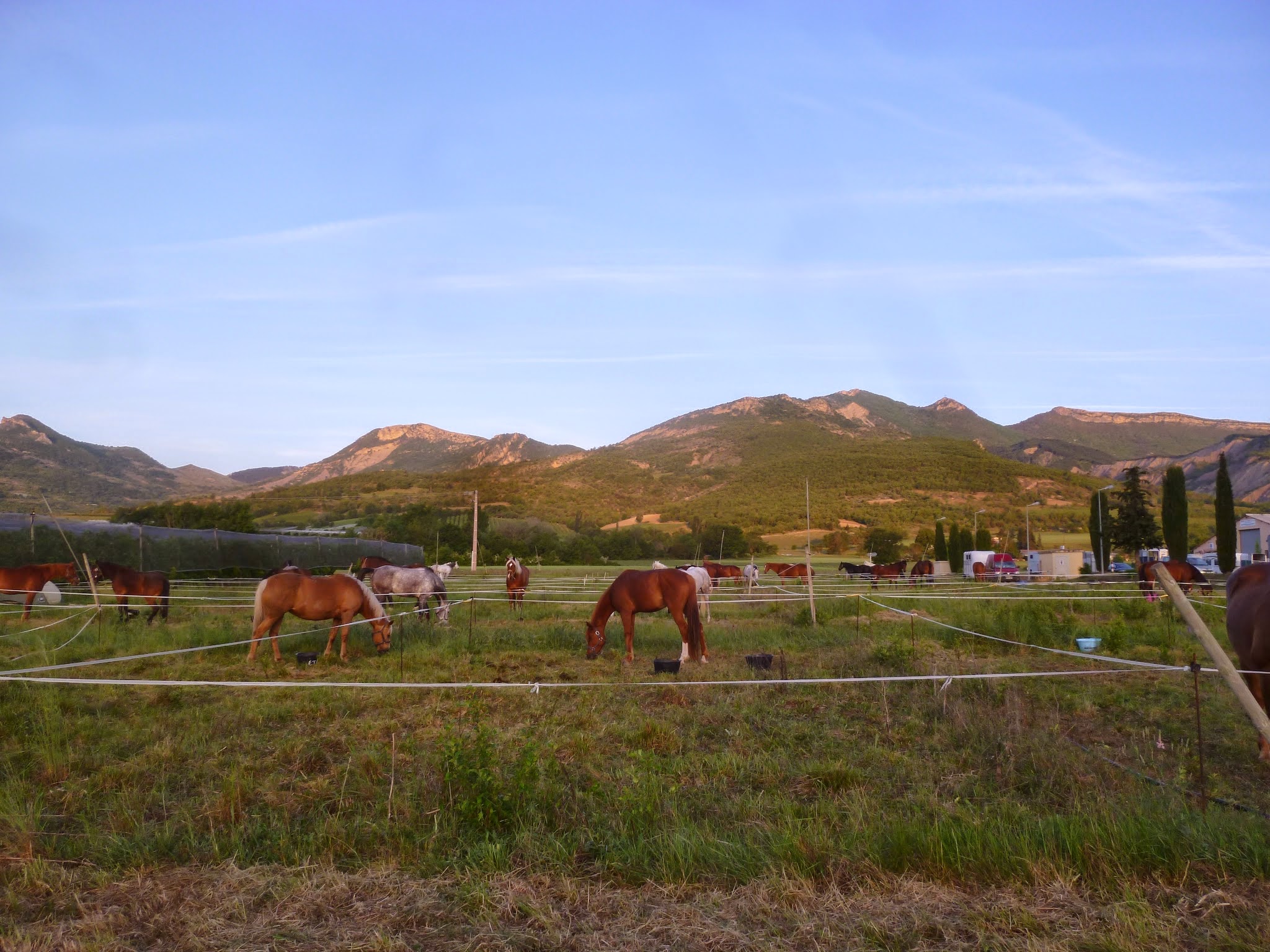
Val Buëch-Méouge
1. Step 1 : Ribiers - Eourres
1j
16,6km
+1414m
-971m
Embed this item to access it offline
Description
This route begins in Ribiers, on the border of the Alpes de Haute-Provence, 7 km from Sisteron; it is the southernmost village in the department. A charming village with its quintessentially Provençal central square, its large fountain, and its orchards, whose fruit is internationally renowned. The trail then leads up to the heights of the former village of Rougnouse, nestled in the heart of a vast mountain pasture. It has been about ten years since the last walls of this hamlet finally collapsed; seven families still lived there at the beginning of the 20th century. Before heading up, plan a short stop at the Roc de l’Aigle cheese shop, which carries on the village’s cheese-making tradition.
The day ends in Eourres, tucked away in the hills at an altitude of 980 meters. Eourres is a lively and welcoming village. Many young families have settled here: organic farming, livestock raising, agritourism, artisans and artists, an alternative school, and a “bio-cool” vibe energize village life, not to mention the community café “Le Lézard Vert.”
The day ends in Eourres, tucked away in the hills at an altitude of 980 meters. Eourres is a lively and welcoming village. Many young families have settled here: organic farming, livestock raising, agritourism, artisans and artists, an alternative school, and a “bio-cool” vibe energize village life, not to mention the community café “Le Lézard Vert.”
- Departure : Ribiers
- Arrival : Eourres
- Towns crossed : Val Buëch-Méouge, Noyers-sur-Jabron, and Éourres
Forecast
Altimetric profile
Report a problem or an error
If you have found an error on this page or if you have noticed any problems during your hike, please report them to us here: