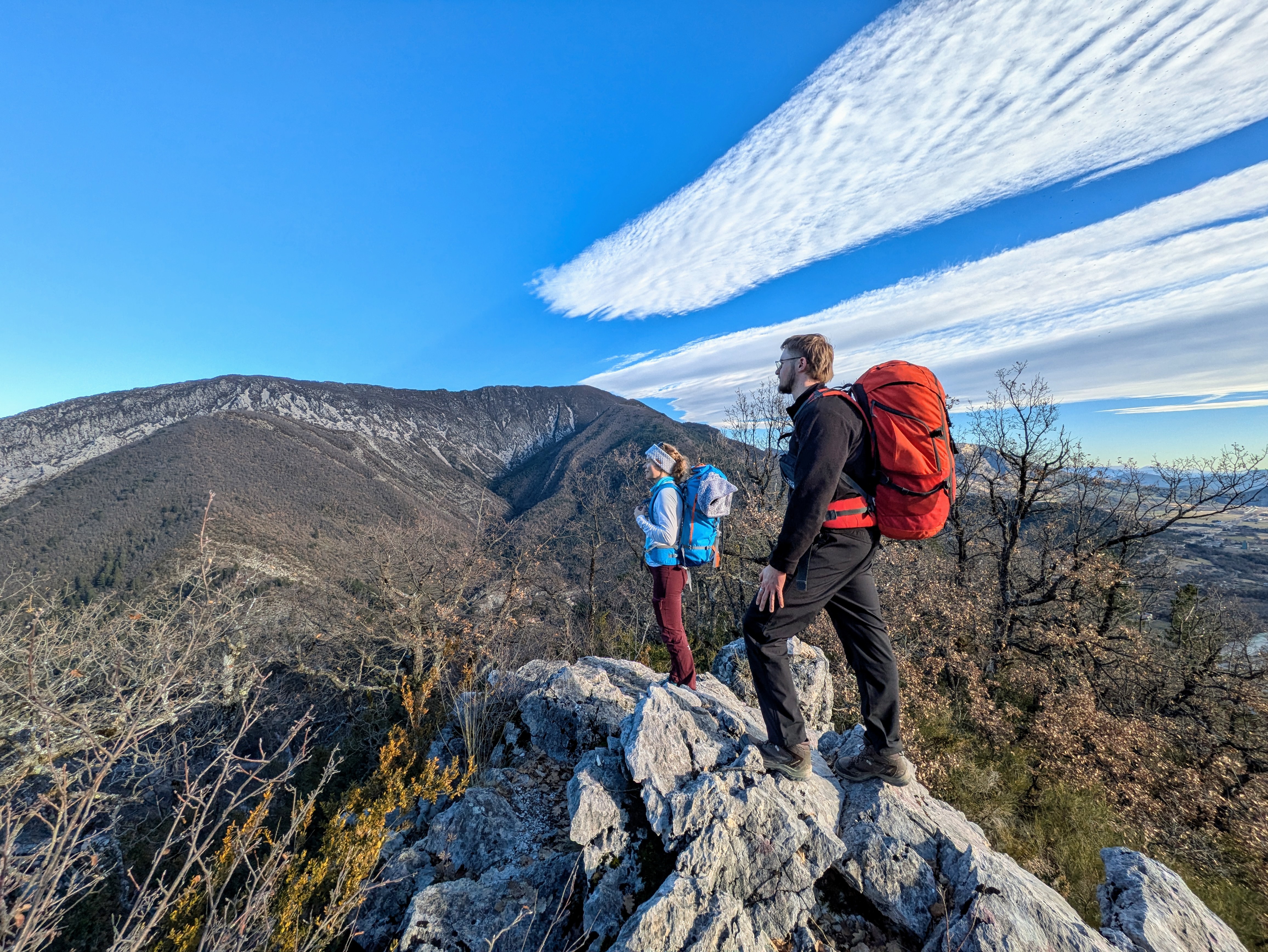
Tour of the Baronnies Provençales - Hautes-Alpes alternative route
 Medium
8 steps
Description
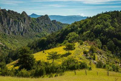
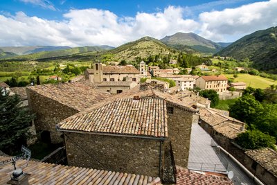
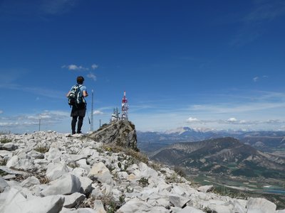
The journey begins in the Hautes-Alpes at Laborel. A stretch through the Orpierre region takes you past iconic landmarks (Montagne de Chabre, Orpierre cliffs...) and isolated villages.
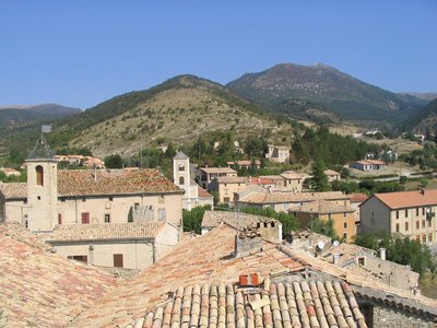
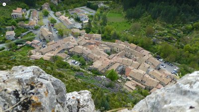
The trail crosses the Serrois region, known for its unique geology (cliffs, gorges, and folds that shape the landscape), and passes through the narrow upper Oule Valley, home to the pretty village of Montmorin. The loop ends in the charming medieval town of Rosans, at the gateway to the Drôme Provençale.
- Departure : Serres
- Arrival : Serres
- Towns crossed : Serres, Sigottier, Épine, Valdoule, Moydans, Rosans, Montferrand-la-Fare, Saint-Sauveur-Gouvernet, Sainte-Euphémie-sur-Ouvèze, Saint-Auban-sur-l'Ouvèze, Rioms, Montauban-sur-l'Ouvèze, Mévouillon, Vers-sur-Méouge, Izon-la-Bruisse, Sainte-Colombe, Ballons, Barret-sur-Méouge, Orpierre, Trescléoux, Garde-Colombe, Chanousse, Méreuil, and Montclus
Forecast
Altimetric profile
Recommandations
- This route is recommended as an 8-step hike starting from Serres. A shuttle service is available for certain sections (contact the Sisteron Buëch Tourist Office for details). It is also possible to continue toward the Drôme department to complete a longer loop.
- Please note: parts of this route are steep, run along rocky slopes.
- This route is jointly managed by the FFRandonnée Drôme and Hautes-Alpes, in close collaboration with the Baronnies Provençales Regional Nature Park. It is marked by volunteers from FFRandonnée clubs.
To minimize the risk of conflict, bringing pets is strongly discouraged, even if they are on a leash.
Cyclists, please be especially vigilant: upon seeing a herd, you must get off your bike, stop, and allow the dogs to identify you. Then, give the herd a wide berth, keeping your bike between you and the guard dog.
In any case, remain calm, avoid sudden movements, and do not attempt to cross through the herd.
→ To learn more about how to behave around guard dogs: https://rando.sisteron-alpesprovencales.fr/information/14-Les-patous-et-nous-!
- Part of the route is heavily exposed to the sun, so be sure to bring the necessary supplies (water, a hat, sunscreen, etc.) for hot summer days. It’s best to set out early in the morning to avoid the hottest part of the day.
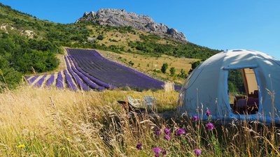
- The trail passes near crops on private property; please do not pick anything from the fields (lavender, fruit, etc.).
Information desks
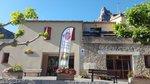
Place du village, 05700 Orpierre
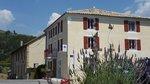
Rue Aristide Briand, 05150 Rosans
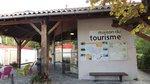
Place du Lac, 05700 Serres
Transport
Access and parking
Parking :
8 points of interest

 Geology
Pointed rock
This Pointed Rock dominates the Sentier des Moines. It stands out due to its shape. It emerges from the ground and overlooks the surroundings and offers a beautiful view of the village of Serres, its valley and the Buëch river. Its characteristic pointed shape is impressive and makes it the geological specificity of Serres.
- Panorama
Viewpoint
The Sentier des Moines dominates the Serrois valley and offers beautiful views of the area, especially from the ridge Crête de Fontarache .
 Summit
Crête de Fontarache
The Crête de Fontarache is an essential passage between Serres and the Col de Saumane for hikers following the Sentier des Moines.
 Pass
PassSaumane Pass
The Saumane Pass (1029 m) allows you to reach Serres via the Chapelle de Saumane or the ridge Crête de Fontarache. It also allows access to the Rocher de Jardanne and to reach the village of Sigottier. This grassy path, shaded by trees offers an ideal venue for a break or a picnic in calm weather.
- Geology
Sigottier Cliff
Overlooking Sigottier village, this cliff is a significant rock-climbing site. Around thirty routes are settled with an initiation area for beginners.
- Pass
Saint-Ange pass
Located on the mountain of Chabre, the Saint-Ange pass stands out due to the impressive cliffs that surround it. A climbing site is located there.
 Lake and river
The Ceans
Taking its source at the top of the mountain of Chamouse, the Ceans crosses all the Orpierrois-district before flowing into the Buëch at the level of Garde-Colombe. Over 22 km long, the torrent partly follows the route of the Princes of Orange.
- Lake and river
Blaisance river
La Blaisance takes its source upstream from the town of Montjay, it is a confluence of several torrents. It flows to the town of Garde-Colombe, passing through Trescléoux. It then flows into the Buëch.
More information


Report a problem or an error
If you have found an error on this page or if you have noticed any problems during your hike, please report them to us here: