Step 5 : Antonaves (le Plan) - Barret-sur-Méouge
Val Buëch-Méouge Medium
5. Step 5 : Antonaves (le Plan) - Barret-sur-Méouge
4h
12,3km
+592m
-566m
Embed this item to access it offline
Description
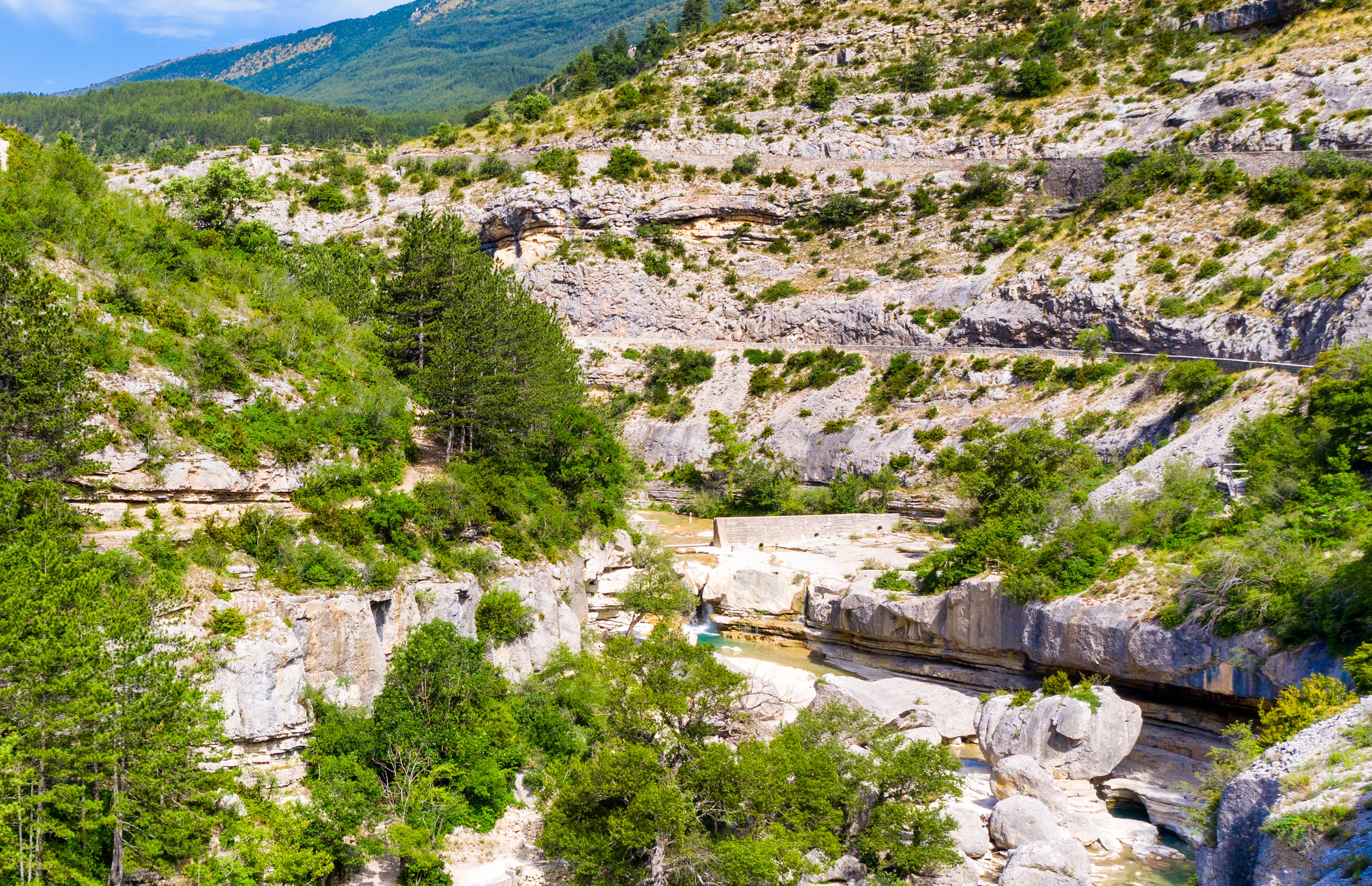
This stage begins at the famous Roman Bridge and gradually climbs uphill along a trail that follows the course of the Méouge River and its gorges. After about 1.5 km, a forest trail leads to the center of the village of St Pierre Avez.
From the village center, a small road leads south to the Bramefan farm. The route then descends toward the Méouge River, follows its banks, and crosses it to reach Barret-sur-Méouge.
From the village center, a small road leads south to the Bramefan farm. The route then descends toward the Méouge River, follows its banks, and crosses it to reach Barret-sur-Méouge.
- Departure : Antonaves (le Plan)
- Arrival : Barret-sur-Méouge
- Towns crossed : Val Buëch-Méouge, Saint-Pierre-Avez, and Barret-sur-Méouge
Forecast
Altimetric profile
Recommandations
The Grande Randonnée (GR®) and GR de Pays® trails are registered trademarks of the FFRandonnée, as are the white/red and yellow/red markings. The information provided on this site (routes, descriptions, photos) was created specifically by the Comité Départemental de la Randonnée Pédestre des Hautes-Alpes.
More information
Report a problem or an error
If you have found an error on this page or if you have noticed any problems during your hike, please report them to us here: