Step 4 : Le Secours (Ribiers) - Antonaves (le Plan)
Val Buëch-Méouge Medium
4. Step 4 : Le Secours (Ribiers) - Antonaves (le Plan)
5h
12,9km
+851m
-834m
Embed this item to access it offline
Description
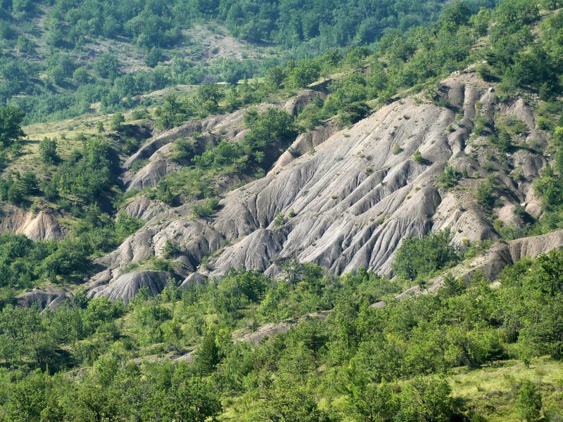
Starting with an ascent toward the Méouge National Forest, this stage follows the trail for much of the way at the start before reaching the Col de Blauri and the Col de St-Pierre, both of which wind through the woods. It then leads to the village of Antonaves, at the entrance to the famous Méouge Gorges.
- Departure : Le Secours (Ribiers)
- Arrival : Antonaves (le Plan)
- Towns crossed : Val Buëch-Méouge and Saint-Pierre-Avez
Forecast
Altimetric profile
Recommandations
- Off the GRP trail to reach Ribiers (2 km) from Le Secours (30 min)
- Off the GRP trail to reach Le Plan (1.3 km) from Antonaves (15 min)
- The Grande Randonnée (GR®) and GR de Pays® trails are registered trademarks of the FFRandonnée, as are the white/red and yellow/red color schemes. The information featured on this site (routes, descriptions, photos) was created specifically by the Comité Départemental de la Randonnée Pédestre des Hautes-Alpes.
More information
Report a problem or an error
If you have found an error on this page or if you have noticed any problems during your hike, please report them to us here: