Plaine des Bessons
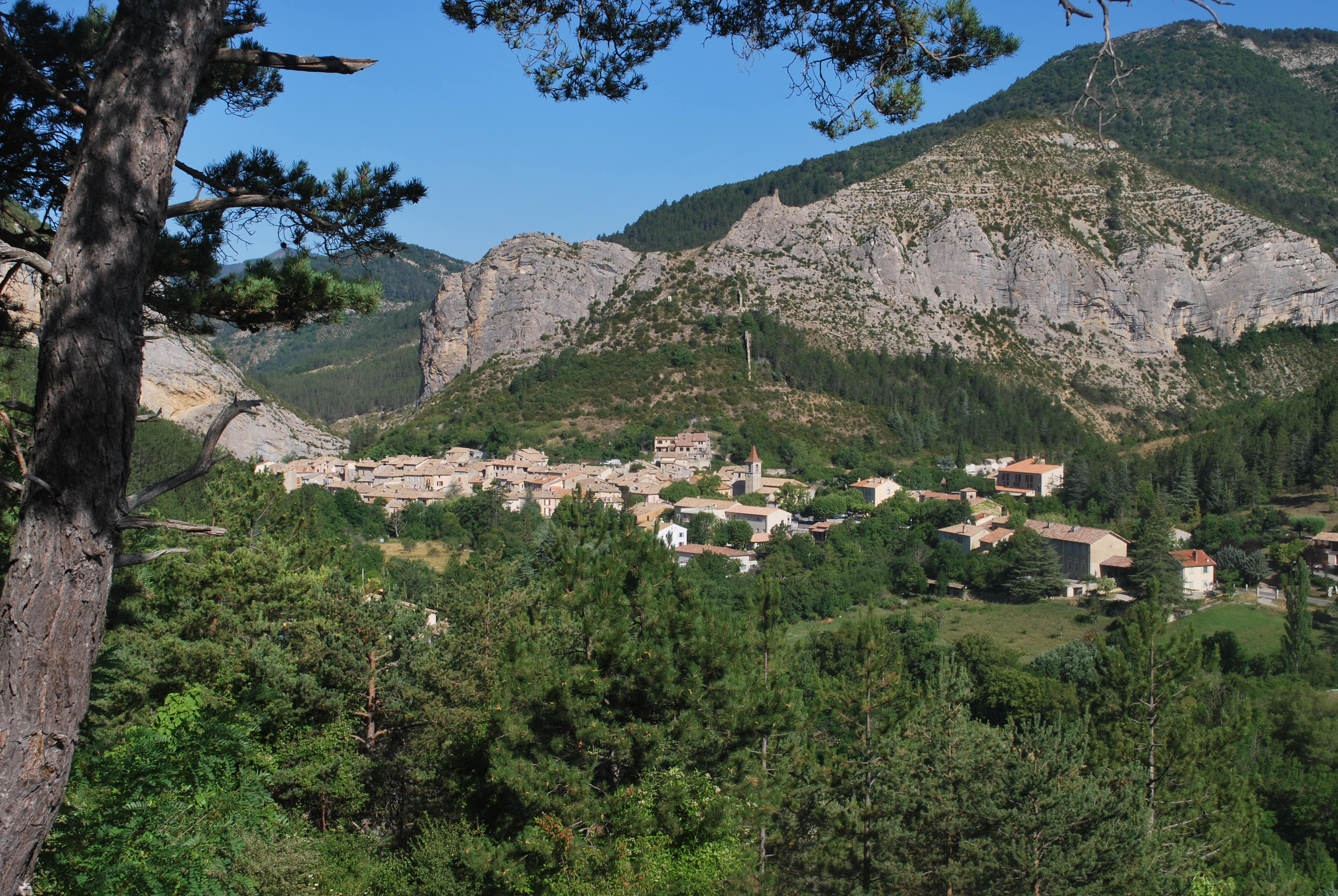
Orpierre Easy
Easy
Plaine des Bessons
1h
5,4km
+348m
-347m
Loop
Embed this item to access it offline
Description
- From the fountain in the village square, follow the D 30 toward Laragne, then take the small road toward the Camping des Princes d'Orange. After the bridge, head back up the main road that runs alongside the campground. Continue along the trail until you reach a fork.
- Take the right fork onto the main trail. Pass in front of the old Paturle farm, ignore the trail branching off to the right, and continue uphill to a second fork.
- At the signpost marked “Au-dessus de Paturle,” take the left trail toward “Saint Michel via the Plaine des Bessons” (yellow markers). Be careful: the shaded trail climbs quite steeply for 300 meters.
- At the next fork, head down the path straight ahead toward “Orpierre via Plaine des Bessons – 2.8 km.” Cross the wooded plain, then follow the trail downhill to the main path.
- Return to the church square via the same route you took on the way up.
- Departure : Church's place, Orpierre
- Arrival : Church's place, Orpierre
- Towns crossed : Orpierre
Forecast
Altimetric profile
Recommandations
This varied and diverse route includes a few steep climbs
Information desks

Place du village, 05700 Orpierre
Transport
Let’s limit our trips and use public transportation and carpooling: https://zou.maregionsud.fr
Access and parking
From Laragne (13 km), take the D 1075, then the D 30 (Eyguians/Pont-Lagrand junction) to reach the town of Orpierre.
Parking :
Church's parking lot, Orpierre
1 point of interest

 Lake and river
The Ceans
Taking its source at the top of the mountain of Chamouse, the Ceans crosses all the Orpierrois-district before flowing into the Buëch at the level of Garde-Colombe. Over 22 km long, the torrent partly follows the route of the Princes of Orange.
More information
Report a problem or an error
If you have found an error on this page or if you have noticed any problems during your hike, please report them to us here: