
Chemins du Soleil [mountain route]
Sisteron Hard
Hard
1. Chemins du Soleil [mountain route]
Hard5h
52,5km
+2031m
-1792m
Embed this item to access it offline
Description
This route can be completed in two stages:
Day 1: Sisteron – St-Geniez (20 km – 900 m elevation gain)
This section is mostly uphill and easy to ride, with some beautiful trails. The route starts on the old Entrepierres road, which was once the only road leading to the village. It begins at the foot of Montagne de la Baume. Past the Jabron gorge, a series of hamlets line the route up to the pass. The descent along trails and paths takes place beneath the foothills of the Vançon.
Day 2: St-Geniez - Thoard (32 km - 1,100 m elevation gain)
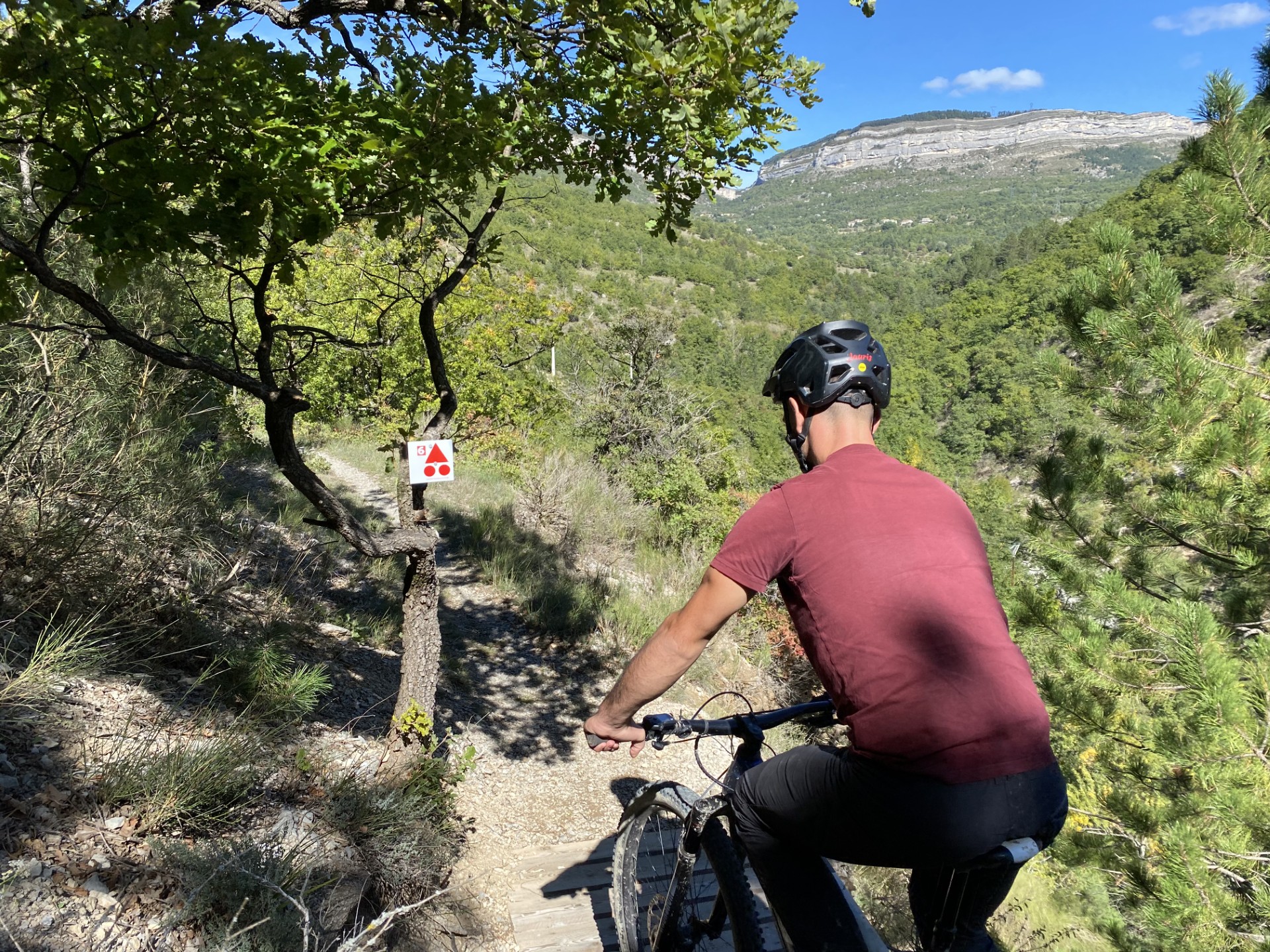
Exceptional scenery, both in terms of the riding and the landscapes encountered—a beautiful mountain biking experience for single-track enthusiasts, provided you’re up to the challenge! The climb up the Vaumuse ridges is demanding, a real test of your ability to stay on the bike! A panoramic view stretching nearly 8 km awaits you as you tackle a series of climbs and descents.
Day 1: Sisteron – St-Geniez (20 km – 900 m elevation gain)
This section is mostly uphill and easy to ride, with some beautiful trails. The route starts on the old Entrepierres road, which was once the only road leading to the village. It begins at the foot of Montagne de la Baume. Past the Jabron gorge, a series of hamlets line the route up to the pass. The descent along trails and paths takes place beneath the foothills of the Vançon.
Day 2: St-Geniez - Thoard (32 km - 1,100 m elevation gain)
Exceptional scenery, both in terms of the riding and the landscapes encountered—a beautiful mountain biking experience for single-track enthusiasts, provided you’re up to the challenge! The climb up the Vaumuse ridges is demanding, a real test of your ability to stay on the bike! A panoramic view stretching nearly 8 km awaits you as you tackle a series of climbs and descents.
- Departure : Sisteron
- Arrival : Thoard
- Towns crossed : Sisteron, Entrepierres, Saint-Geniez, Castellard-Mélan, Thoard, Sourribes, and Volonne
Forecast
Altimetric profile
Recommandations
Along these mountain bike trails, you’ll find suitable lodging options that will allow you to plan your stops however you like.
Information desks
1 place de la République, 04200 Sisteron
Transport
Let’s limit our trips and use public transportation and carpooling: https://zou.maregionsud.fr
1 point of interest
La Durance - CCSB  Lake and river
The Durance River
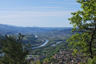
More than a mere river, the Durance is a force of nature. From its source in Mongenèvre at an altitude of 2300 metres it rolls its way over 302 kilometres until it finally flows into the Rhône. Over time, there has been greater control by man over the river, particularly with the construction of the Serre-Ponçon dam, and it is an essential artery for the Hautes-Alpes.
Source : www.hautes-alpes.net
More information


Report a problem or an error
If you have found an error on this page or if you have noticed any problems during your hike, please report them to us here: