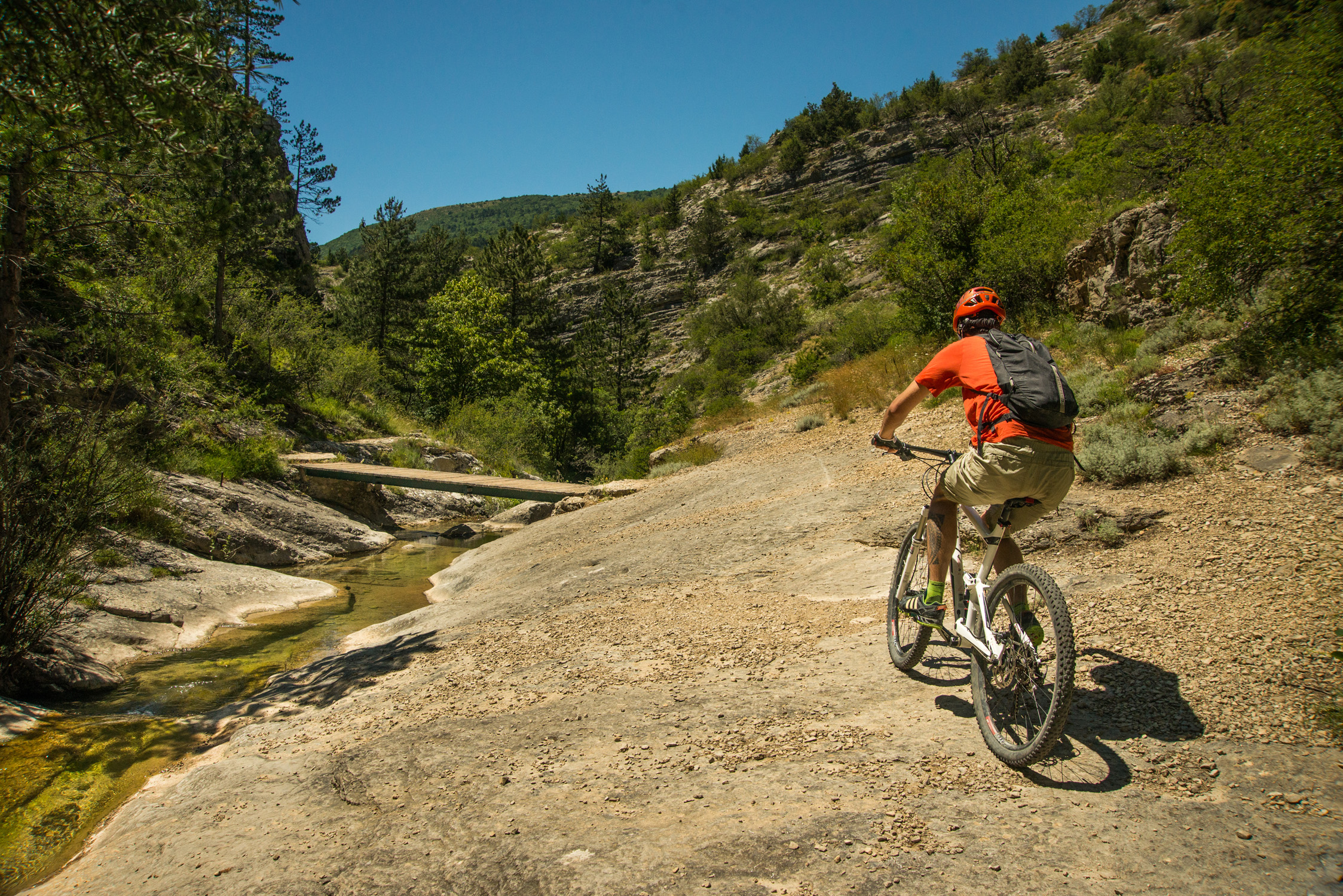
Chemins du Soleil [from Barcillonnette to Sisteron]
 Hard
Hard
Description
- Departure : Barcillonnette
- Arrival : Sisteron
- Towns crossed : Barcillonnette, Ventavon, Savournon, Garde-Colombe, Laragne-Montéglin, Lazer, Upaix, Mison, Poët, Val Buëch-Méouge, and Sisteron
Forecast
Altimetric profile
Recommandations
- Along these mountain bike routes, you’ll find suitable lodging options that will allow you to plan your stops however you like.
- To continue south of Sisteron, a more challenging route connects Sisteron, Thoard, and Digne-les-Bains: “the mountain route.”
Information desks

Place des Aires, 05300 Laragne-Montéglin

1 place de la République, 04200 Sisteron
Transport
4 points of interest

 Lake and river
Source of Saint-Lagier
The small source of Saint-Lagier crosses the route forestière du Château (forest road of the castle) passing under a bridge. The stream then flows into the Riou-torrent, as one of its many tributaries. They feed the river by digging the gorges of the same name. They also fill the lake of Riou.
- Panorama
Viewpoint
The paths crossing the forest of Jubéo lead to magnificent points of view on the Cirque de Genis and on the valley of Savournon. From there,you can admire the Riou gorges and the Pic de l'Aigle that stands out of the landscape.
- Lake and river
Riou canyon
Taking its source in the heart of the national forest of Beynon, the Riou dug its gorges. The Gorges du Riou connects the Jubéo Forest and the village of Saint-Genis.
- Lake and river
Riou lake
Fed by the stream of the same name, Lac du Riou is a popular spot for locals and tourists alike during the summer.
With supervised swimming in July and August and plenty of amenities (tables, restrooms, playground equipment, and more), Lac du Riou is the perfect place to stop for a refreshing break.
More information


Report a problem or an error
If you have found an error on this page or if you have noticed any problems during your hike, please report them to us here: