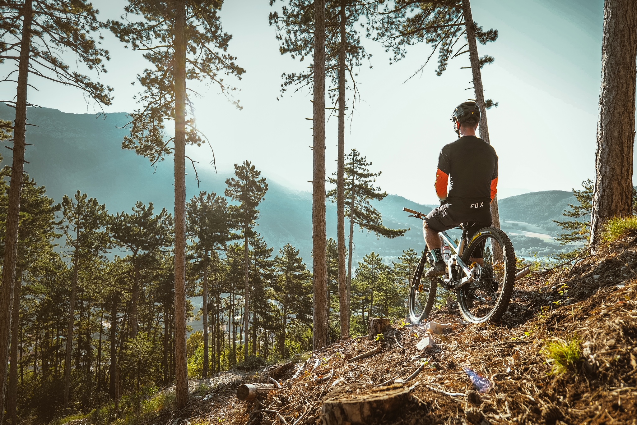
GTHA [from La Bâtie-Montsaléon to Laragne]
 Hard
Hard
Description
- Departure : La Bâtie-Montsaléon
- Arrival : Laragne
- Towns crossed : Aspremont, Bâtie-Montsaléon, Savournon, Garde-Colombe, Laragne-Montéglin, and Lazer
Forecast
Altimetric profile
Recommandations
Information desks

Place des Aires, 05300 Laragne-Montéglin
Place du Lac, 05700 Serres
Transport
5 points of interest

 Geology
Eysserennes canyon
The Eysserennes canyon, is a small canyon from which the same named mountain stream comes from. It adds an enjoyable refreshing moment for the hikers during summer. It also embodies “Les Terres Noires” – The Black Lands – name given to the Savournon and surrounding marls.
 Lake and river
Channe stream
Originating at Rocher de la Pisse, near the summit of Beynon, the Channe stream flows through the entire valley before emptying into the Canal des Grès. It crosses the “Tour du Buëch” regional hiking trail at a bridge on the road between Savournon and the Jubéo parking lot.- Lake and river
Source of Saint-Lagier
The small source of Saint-Lagier crosses the route forestière du Château (forest road of the castle) passing under a bridge. The stream then flows into the Riou-torrent, as one of its many tributaries. They feed the river by digging the gorges of the same name. They also fill the lake of Riou.
- Panorama
Viewpoint
The paths crossing the forest of Jubéo lead to magnificent points of view on the Cirque de Genis and on the valley of Savournon. From there,you can admire the Riou gorges and the Pic de l'Aigle that stands out of the landscape.
- Lake and river
Riou canyon
Taking its source in the heart of the national forest of Beynon, the Riou dug its gorges. The Gorges du Riou connects the Jubéo Forest and the village of Saint-Genis.
More information


Report a problem or an error
If you have found an error on this page or if you have noticed any problems during your hike, please report them to us here: