
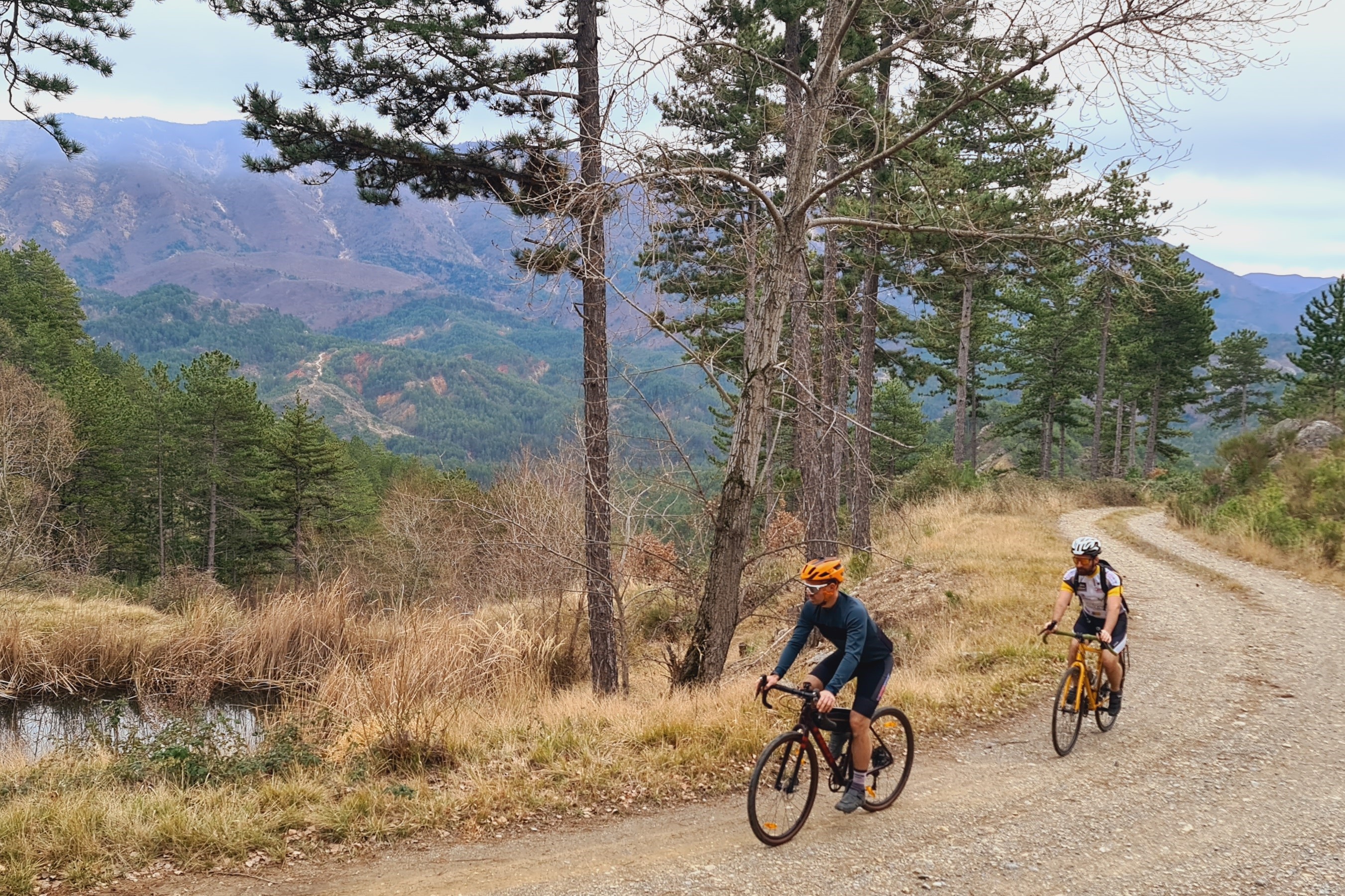
Gravel between Durance and towns around Sisteron
Sisteron Medium
Gravel between Durance and towns around Sisteron
Medium1j
44,2km
+1110m
-1110m
Loop
Embed this item to access it offline
Forecast
Altimetric profile
Recommandations
Please exercise caution as you approach Sisteron when crossing and driving on the D4085.
The versatility of this type of bike—the gravel bike—lets you ride along scenic country roads and veer off onto gravel paths, dirt roads, or trails. It’s a fun and varied sport.
Information desks

1 place de la République, 04200 Sisteron
Transport
Let’s limit our trips and use public transportation and carpooling: https://zou.maregionsud.fr
Access and parking
From Gap (50 km), follow Route 85, then take the A12 from La Saulce to Sisteron.
Parking :
Place de la République Parking lot, Sisteron
1 point of interest
La Durance - CCSB  Lake and river
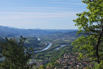
The Durance River
More than a mere river, the Durance is a force of nature. From its source in Mongenèvre at an altitude of 2300 metres it rolls its way over 302 kilometres until it finally flows into the Rhône. Over time, there has been greater control by man over the river, particularly with the construction of the Serre-Ponçon dam, and it is an essential artery for the Hautes-Alpes.
Source : www.hautes-alpes.net
More information


Report a problem or an error
If you have found an error on this page or if you have noticed any problems during your hike, please report them to us here: