
Le pont de la Reine Jeanne by mountain bike
Entrepierres Medium
Le pont de la Reine Jeanne by mountain bike
Medium1h30
11,3km
+282m
-283m
Loop
Embed this item to access it offline
Follow the Mountain Bike Trail No. 9
Description
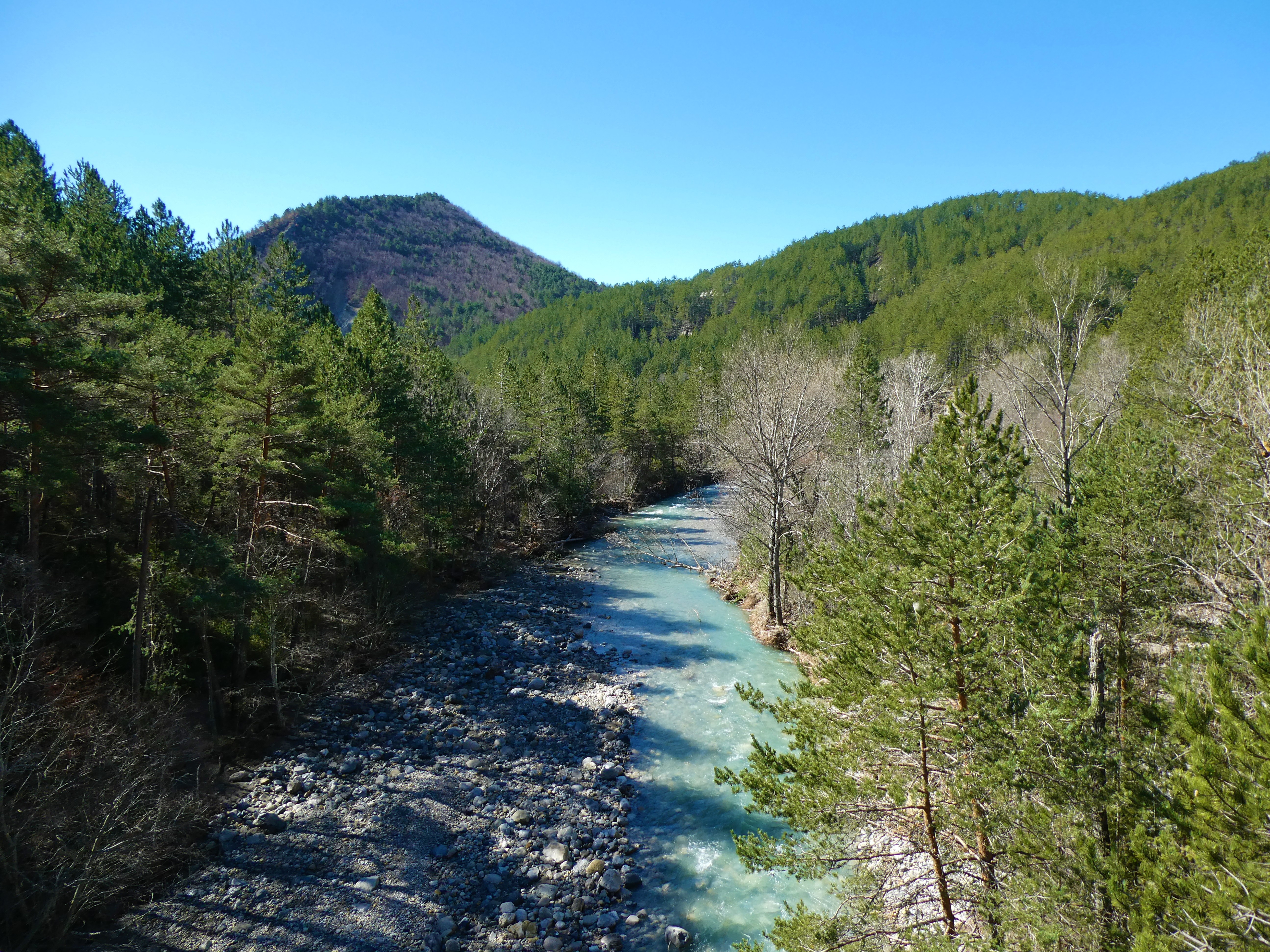
Starting at the bridge, a wide trail follows the Vançon River upstream (swimming in summer). The trail passes by the abandoned village of Abros (restored chapel), crosses the river via a stone-paved crossing, then, 500 meters further on, crosses a small stream to the right and climbs up the hill (steep ascent). The route continues along a pretty, narrow, technical, and undulating trail that leads back to a path at the foot of the hill. Follow it to the right until you reach the river and cross it at the ford.
- Departure : Reine Jeanne bridge, in Entrepierres (5km eastern to the town hall)
- Arrival : Reine Jeanne bridge, in Entrepierres (5km eastern to the town hall)
- Towns crossed : Entrepierres and Saint-Geniez
Forecast
Altimetric profile
Recommandations
You can start from either the town hall in Entrepierres or Sisteron
Information desks

1 place de la République, 04200 Sisteron
Transport
Let’s limit our trips and use public transportation and carpooling: https://zou.maregionsud.fr
Access and parking
From Sisteron (14 km), take the D 4085 south. At the roundabout, cross the Durance River, then head east on the D 217 to the Pont de la Reine Jeanne.
Parking :
Parking lot at the Reine Jeanne Bridge, Entrepierres (5 km east of Town Hall)
More information


Report a problem or an error
If you have found an error on this page or if you have noticed any problems during your hike, please report them to us here: