
De la Baume à Entrepierres by E-mountain bike
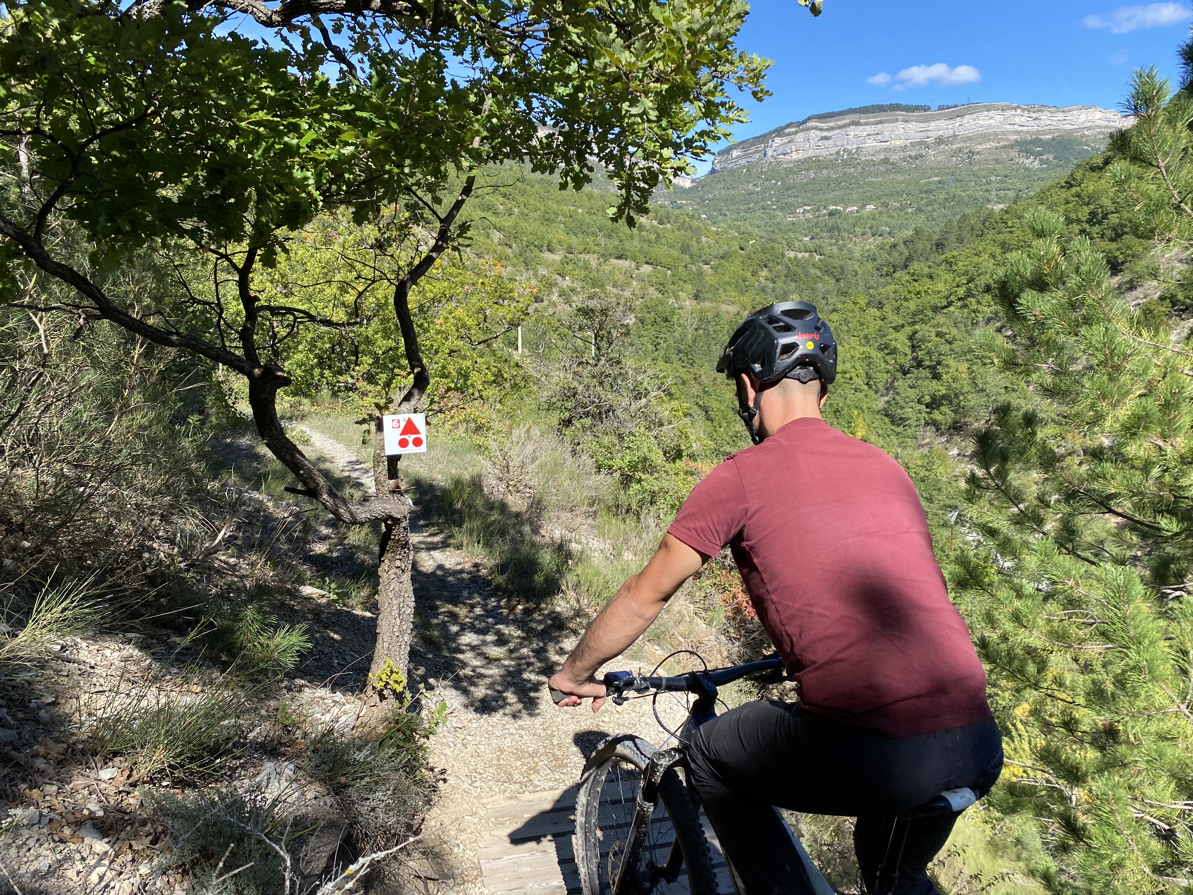
Sisteron Medium
De la Baume à Entrepierres by E-mountain bike
Medium3h
26,3km
+768m
-765m
Loop
Embed this item to access it offline
Blue Level (Easy) on an e-MTB
PLEASE NOTE: Several areas in the Entrepierres region have been vandalized (signs removed, etc.). Please refer to the GPX track. Our teams are currently working to resolve these issues. Thank you for your understanding.
The CCSB Hiking Team
PLEASE NOTE: Several areas in the Entrepierres region have been vandalized (signs removed, etc.). Please refer to the GPX track. Our teams are currently working to resolve these issues. Thank you for your understanding.
The CCSB Hiking Team
Description
- Starting from the Sisteron Tourist Office, follow the Chemins du Soleil route through the town and past the lake. The route crosses the Durance Bridge, passes at the foot of the Rocher de la Baume, and follows Napoleon’s historic road (offering a beautiful view of the town and the valley). A climb up a trail leads to Entrepierres.
- In Entrepierres, the route passes by the boules court rest area. Join the road leading to the Crypte du Prieuré. A trail and a road gradually lead to Vilhosc. The route continues along a path through rolling marl hills. Mountain bikers are already treated to a few scenic views along the forest edge. It’s time to take advantage of the undulating marl terrain, which lets you pick up speed and do a few jumps. Head to the hamlet of Les Pignets, where the route heads toward the Pied du Bois trail.
- At the next intersection, turn right onto the short climb along a rolling, shaded trail.
- A final descent brings you back to the road. This road runs alongside lavender fields and the crypt of the Priory before rejoining the starting route.
- Back in the village of Entrepierres, turn left toward Old Entrepierres and continue on a single-track trail called “Le Détroit” (you can also stay on the small road, which is easier). Ride on to the Col de Mézien (814 m). Finish on the north-facing slope of La Baume with a lovely trail that leads back to Sisteron, mostly along the Way of St. James (be careful on the descent; hikers use this route).
- Departure : Tourist Information Office, Sisteron
- Arrival : Tourist Information Office, Sisteron
- Towns crossed : Sisteron, Entrepierres, and Salignac
Forecast
Altimetric profile
Recommandations
- Suggested route for e-MTBs
- The main technical challenge is located near the strait and during the descent of La Baume.
Information desks
Place du Lac, 05700 Serres
Transport
Let’s limit our trips and use public transportation and carpooling: https://zou.maregionsud.fr
Access and parking
From Gap (50 km), follow Route 85, then take the A12 from La Saulce to Sisteron.
Parking :
Town hall parking lot in Sisteron
1 point of interest
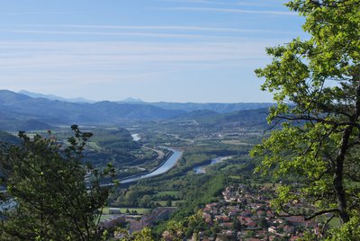
La Durance - CCSB  Lake and river
The Durance River
More than a mere river, the Durance is a force of nature. From its source in Mongenèvre at an altitude of 2300 metres it rolls its way over 302 kilometres until it finally flows into the Rhône. Over time, there has been greater control by man over the river, particularly with the construction of the Serre-Ponçon dam, and it is an essential artery for the Hautes-Alpes.
Source : www.hautes-alpes.net
More information


Report a problem or an error
If you have found an error on this page or if you have noticed any problems during your hike, please report them to us here: