
Crête du Dindaret by mountain bike
Valdoule Hard
Hard
Crête du Dindaret by mountain bike
Hard4h30
27,9km
+1157m
-1156m
Loop
Embed this item to access it offline
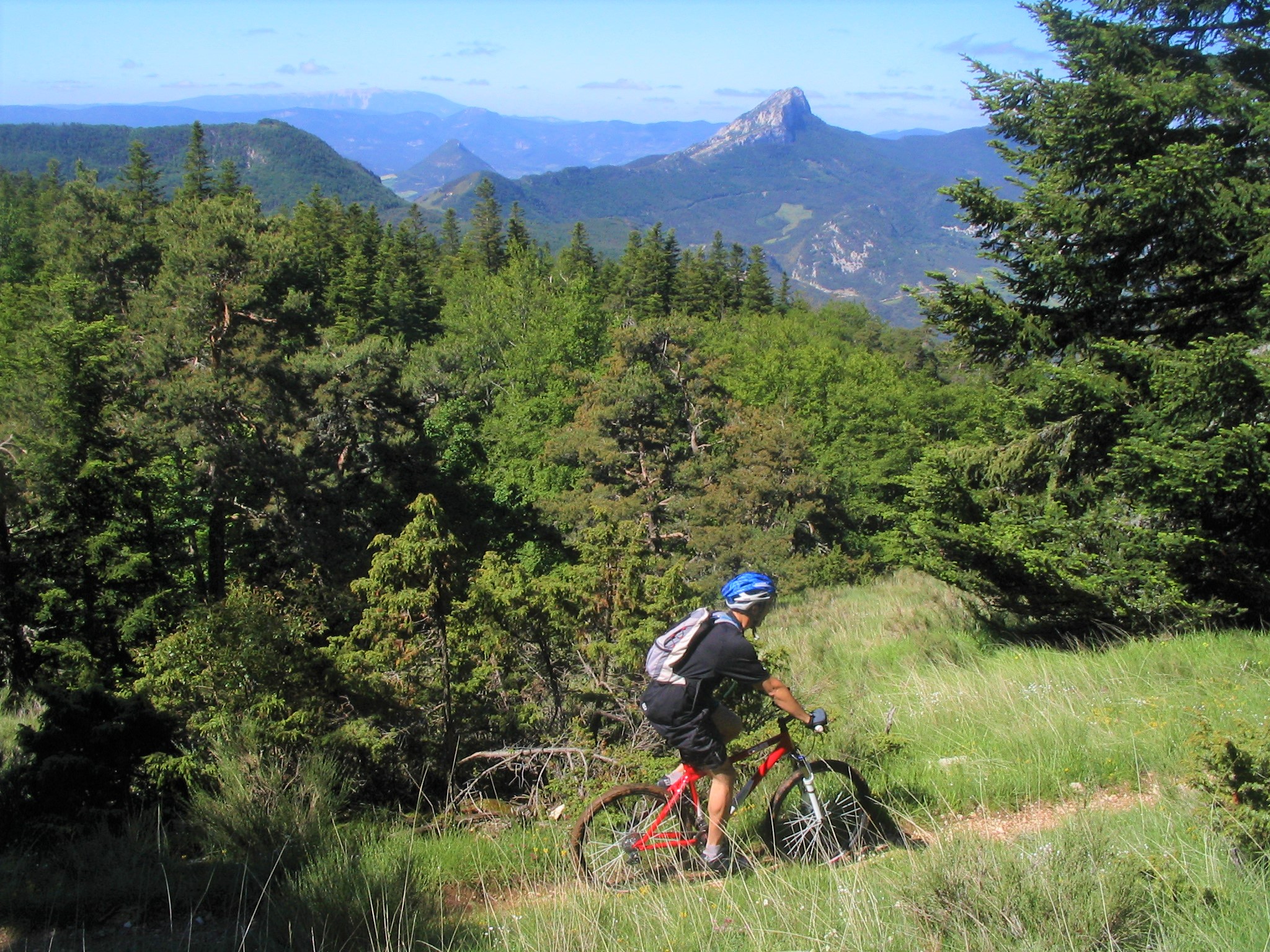
Straddling the Drôme and Hautes-Alpes departments, the Dindaret Ridge is the highest point of the route, at an elevation of 1,572 meters. It is a spectacular route that demands a significant amount of energy.
With its technical sections on the ridge and on the descent between the Col de Bruis and the Piste des Clots, this black-level route is intended for experienced cyclists!
With its technical sections on the ridge and on the descent between the Col de Bruis and the Piste des Clots, this black-level route is intended for experienced cyclists!
Forecast
Altimetric profile
Recommandations
- Please note: it is best not to go alone. There are two sections where you will need help carrying your bikes (you should plan for these short portages to get your bikes across so you can safely walk down the steps).
- Due to its exposure, avoid riding too late in the day in hot weather or during thunderstorms.
- Some sections overlap with the “Chemins du Soleil” route.
Information desks
Rue Aristide Briand, 05150 Rosans
Transport
- Let’s limit travel and consider public transportation and carpooling: https://zou.maregionsud.fr
- On-Demand Regular Service: to Nyons or Vaison-la-Romaine: Tuesdays only, by reservation 24 hours in advance at +33810262607 or +33475278419.
Access and parking
From Serres (21 km), take the D 994 west. After L'Epine, follow the D 26 north to Montmorin.
Parking :
Parking lot in Montmorin
More information


Report a problem or an error
If you have found an error on this page or if you have noticed any problems during your hike, please report them to us here: