
Tour de la Baume by bike
Sisteron Easy
Easy
Tour de la Baume by bike
Easy1h
20,3km
+472m
-470m
Loop
Embed this item to access it offline
Description
The route starts in an urban area, leaving Sisteron and following the Durance River southward.
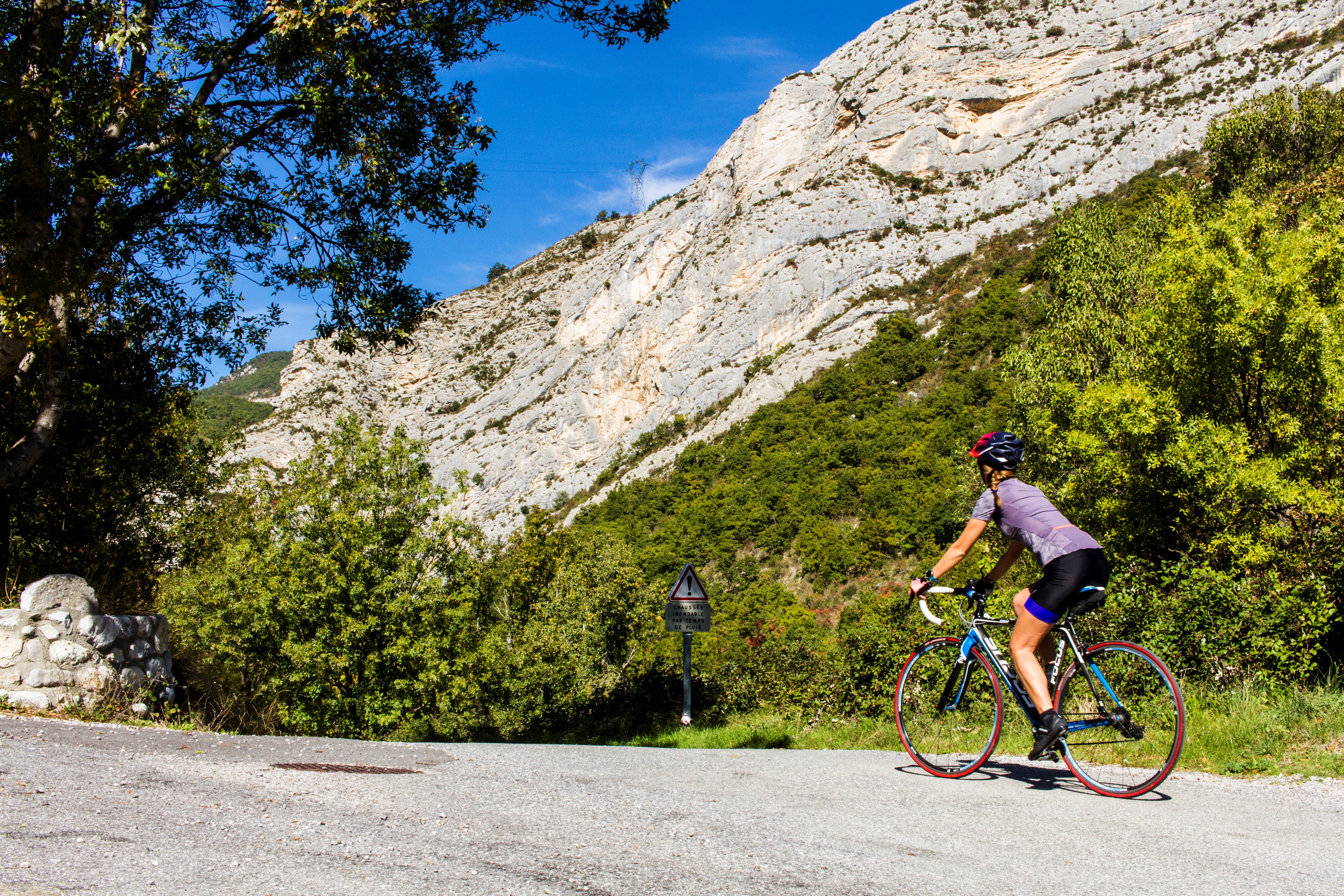
After crossing the Durance (near the wastewater treatment plant), the route climbs toward the village of Entrepierres via the D217. Pass through the small village until you reach the base of a rocky cliff. You’ll go around Montagne de la Baume. You then follow the GRP trail of the Grande Traversée des Préalpes to the Col de Mézien (814 m). From there, you can begin a beautiful descent on the D3. This road offers a panoramic view of the Durance Valley and then of Sisteron and its citadel from the heights. The return to town is via the bridge over the Durance.
After crossing the Durance (near the wastewater treatment plant), the route climbs toward the village of Entrepierres via the D217. Pass through the small village until you reach the base of a rocky cliff. You’ll go around Montagne de la Baume. You then follow the GRP trail of the Grande Traversée des Préalpes to the Col de Mézien (814 m). From there, you can begin a beautiful descent on the D3. This road offers a panoramic view of the Durance Valley and then of Sisteron and its citadel from the heights. The return to town is via the bridge over the Durance.
- Departure : Tourist Information Office, Sisteron
- Arrival : Tourist Information Office, Sisteron
- Towns crossed : Sisteron and Entrepierres
Forecast
Altimetric profile
Recommandations
- The Sisteronais Buëch region has been designated an “Espace Cyclosport” by the French Cycling Federation and meets high standards for welcoming road cyclists.
- Recommended stop at the Citadel of Sisteron: www.citadelledesisteron.fr
Information desks

1 place de la République, 04200 Sisteron
Transport
Let’s limit our trips and use public transportation and carpooling: https://zou.maregionsud.fr
Access and parking
From Sisteron (1 km), exit through the tunnel under the citadel and take Route D 951 toward La Motte-du-Caire to reach the Baume Bridge.
Parking :
Parking lot of the climbing site of La Baume, Sisteron
1 point of interest
La Durance - CCSB  Lake and river
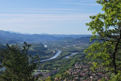
The Durance River
More than a mere river, the Durance is a force of nature. From its source in Mongenèvre at an altitude of 2300 metres it rolls its way over 302 kilometres until it finally flows into the Rhône. Over time, there has been greater control by man over the river, particularly with the construction of the Serre-Ponçon dam, and it is an essential artery for the Hautes-Alpes.
Source : www.hautes-alpes.net
More information


Report a problem or an error
If you have found an error on this page or if you have noticed any problems during your hike, please report them to us here: