
Tour de la crête des Aiguilles
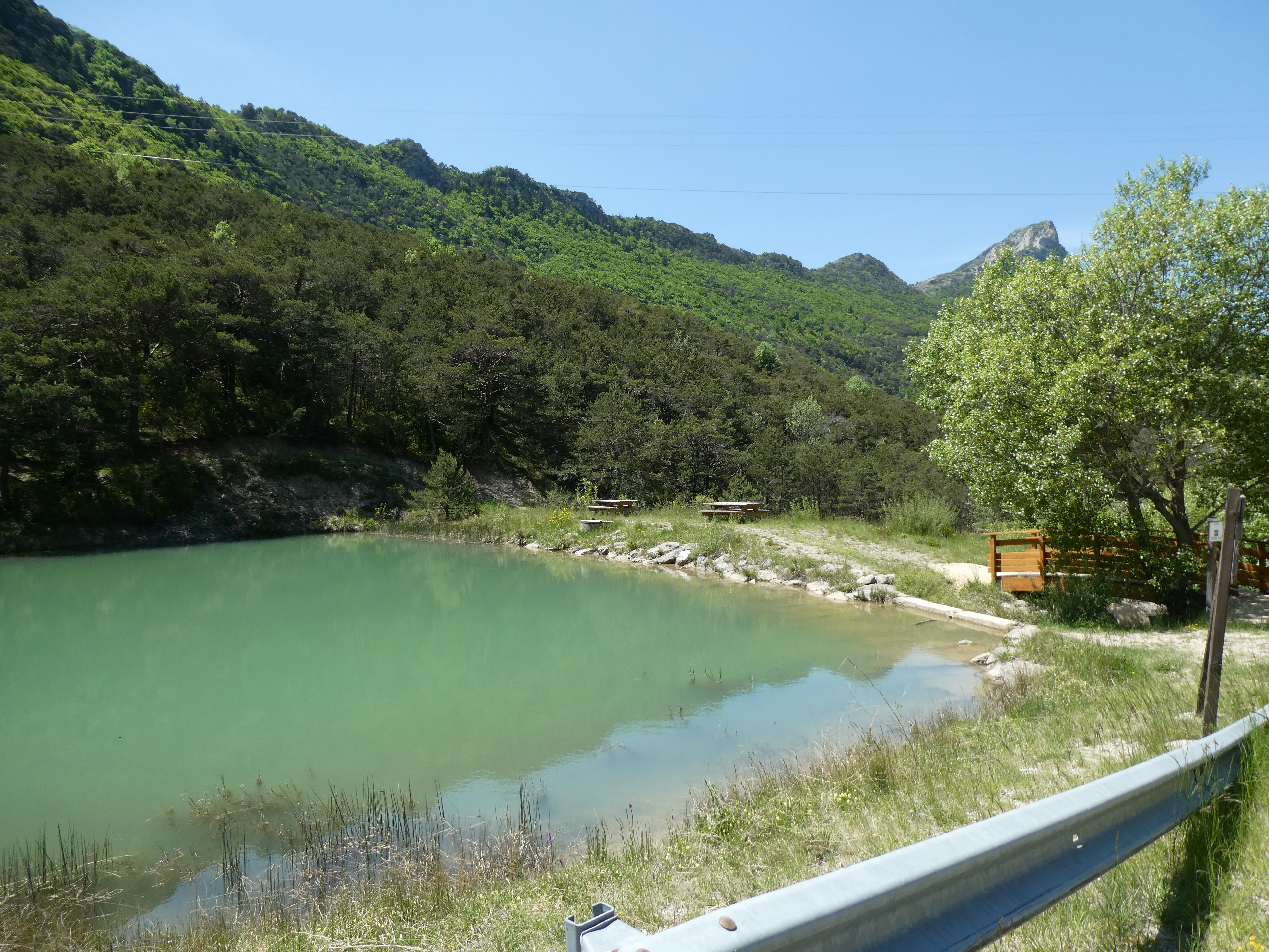
Valdoule Easy
Easy
Tour de la crête des Aiguilles
Easy2h
5,1km
+275m
-276m
Loop
Embed this item to access it offline
Description
- The route starts at Lake Font Froide. Follow the road downhill until you reach a fork, then take the small road on the right.
- After 500 m, turn onto the trail on the right. Continue along this trail until you rejoin the path at a small stone bridge.
- After walking 400 m along the trail, turn right onto the path. This path alternates between sections through the woods and along the edges of fields.
- Once you reach the end of the path in front of a stream, immediately take the new path to the right and continue along it until you reach a trail.
- On the trail, after 150 m, turn right again onto a path and continue along it to the end.
- At the end of the path, where it meets the trail, turn right, then after the first bend, turn right again onto the path that descends. Follow it to return to the fork at point #1, from where you can then head back to Lake Font Froide.
- Departure : Font Froide lake
- Arrival : Font Froide lake
- Towns crossed : Valdoule
Forecast
Altimetric profile
Information desks
Rue Aristide Briand, 05150 Rosans
Transport
Let’s limit our trips and use public transportation and carpooling: https://zou.maregionsud.fr
Access and parking
From Serres, take the D 994 westward, past the village of L’Épine, then turn right toward the Col des Tourettes. Cross the pass to reach Lake Font Froide.
Parking :
Font Froide Lake
More information


Report a problem or an error
If you have found an error on this page or if you have noticed any problems during your hike, please report them to us here: