Le Saint Michel by mountain bike
Orpierre Medium
Le Saint Michel by mountain bike
Medium3h
20,8km
+1228m
-1227m
Loop
Embed this item to access it offline
Follow the red MTB trail marker No. 4
Watch out for the 2 or 3 sections that are a bit more exposed to the edge and for the numerous tree roots in the second half of the descent!
Watch out for the 2 or 3 sections that are a bit more exposed to the edge and for the numerous tree roots in the second half of the descent!
Description
- Take the RD 30 toward Laragne, then turn right toward “Beynaves / Le Chevalet.” At the two intersections, keep right.
- Just after a bridge, at a bend, leave the paved road and follow the forest trail. This trail climbs through a fairly shaded area beneath the Chabre ridge. At the first major trail junction, go up to the right, then at the second fork, follow the more clearly marked trail to the left.
- At the end of the trail, continue on the balcony-like path beneath the ridge (a roller-coaster-like trail, fun and with plenty of ups and downs).
- At the intersection, head back up the forest trail to Beynaves. At the large crossroads, take the trail that descends to the right.
- 1 km further on, the GR turns sharply left onto a path. From here, you can continue along the trail, which narrows into a path leading to the summit of Rocher Saint-Michel (panoramic view overlooking Orpierre and the Céans Valley). Alternatively, head left toward Orpierre on the ridge trail below Saint-Michel. A few tricky and exposed sections may require you to dismount. Then, as the rocks become fewer, the roots take over! Your arms will be put to the test, but your bike handling skills will only improve as a result!
- At the Paturle intersection, continue along the trail on the left, which ends at the bottom of the Ravin de Bagnols. You’ll need to cross a small stream to reach the road a little further up, which leads right back to Orpierre.
- Return to Orpierre by following the road to the right.
- Departure : Fountain next to the church, Orpierre
- Arrival : Fountain next to the church, Orpierre
- Towns crossed : Orpierre, Sainte-Colombe, and Étoile-Saint-Cyrice
Forecast
Altimetric profile
Recommandations
- Recommended bikes: mountain bikes and e-bikes
- Be careful—the descent is quite steep in places
Information desks
Place du village, 05700 Orpierre
Transport
Let’s limit our trips and use public transportation and carpooling: https://zou.maregionsud.fr
Access and parking
From Laragne (13 km), take the D 1075, then the D 30 (Eyguians junction) to reach the town of Orpierre.
Parking :
Church's parking lot, Orpierre
1 point of interest

 Geology
Rock of Saint-Michel
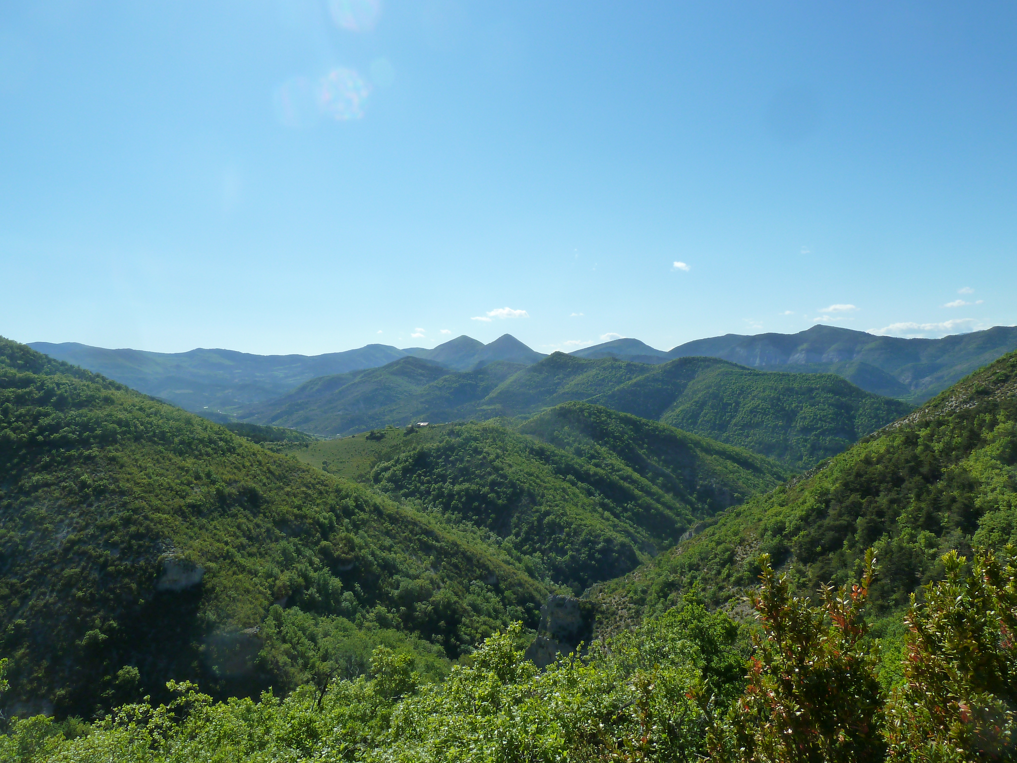
Overlooking the village of Orpierre, the Rocher de Saint-Michel allows you to discover a spectacular panorama the area of Orpierre and also a part of the Buëch area. Located at 1216 m, it offers in particular a spectacular view of the Laragne area and from its summit, on many surrounding massifs such as the Chabre, Aup or Saint-Genis mountains and futher the Dévoluy.
More information


Report a problem or an error
If you have found an error on this page or if you have noticed any problems during your hike, please report them to us here: