Sommet de Fléossier
Éourres Medium
Sommet de Fléossier
4h
9,9km
+718m
-732m
Loop
Embed this item to access it offline
Description
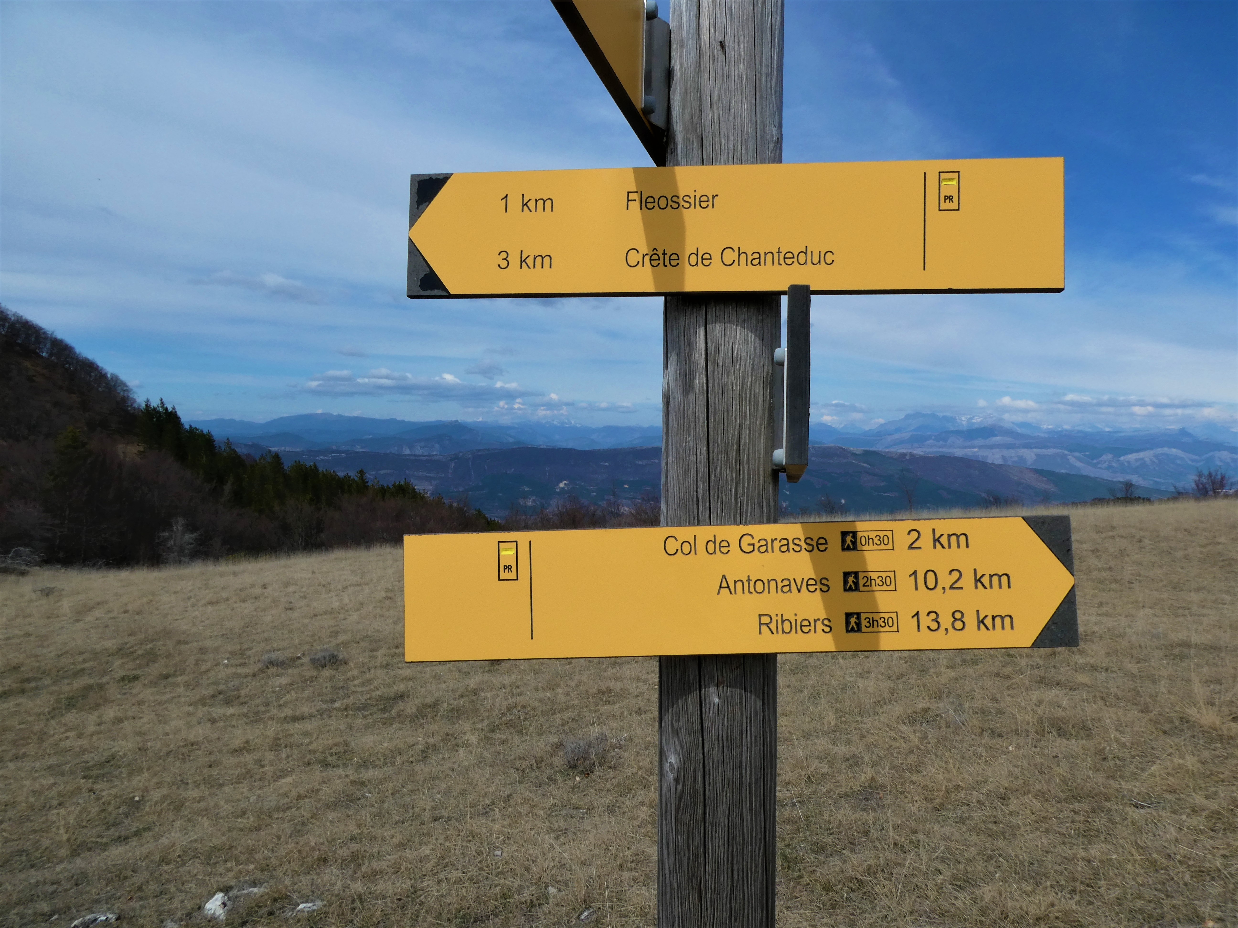
- At the entrance to the hamlet of Les Damias, take the trail on the left (signposted). The trail climbs up to the ridge of Mount Chanteduc and its mountain pastures. The vegetation is sparse and the view is wide open.
- On the ridge, the hike is very pleasant and continues to the summit of Fléossier (1,542 m). You then begin the descent toward the Col de Branche (1,465 m).
- At the pass, take the GR trail on the right, which descends back into the valley. Continue on to reach the Col Saint-Pierre.
- At the Col Saint-Pierre, head toward Les Damias by taking the descending trail.
- After 2 km on the trail, turn onto the small path on the right that descends through the scree.
- At the trail junction, turn right toward the road leading to the hamlet of Les Damias.
- At the fork, continue right toward Les Damias to return to the starting point.
- Departure : Damias halmet, Eourres
- Arrival : Damias hamlet, Eourres
- Towns crossed : Éourres, Salérans, and Barret-sur-Méouge
Forecast
Altimetric profile
Information desks

1 place de la République, 04200 Sisteron
Transport
Let’s limit our trips and use public transportation and carpooling: https://zou.maregionsud.fr
Access and parking
From Laragne-Montéglin (23 km), take the D 942 and D 24 southwest, then the D 224 east to the hamlet of Les Damias (near Eourres).
Parking :
Damias parking lot, Eourres
More information
Report a problem or an error
If you have found an error on this page or if you have noticed any problems during your hike, please report them to us here: