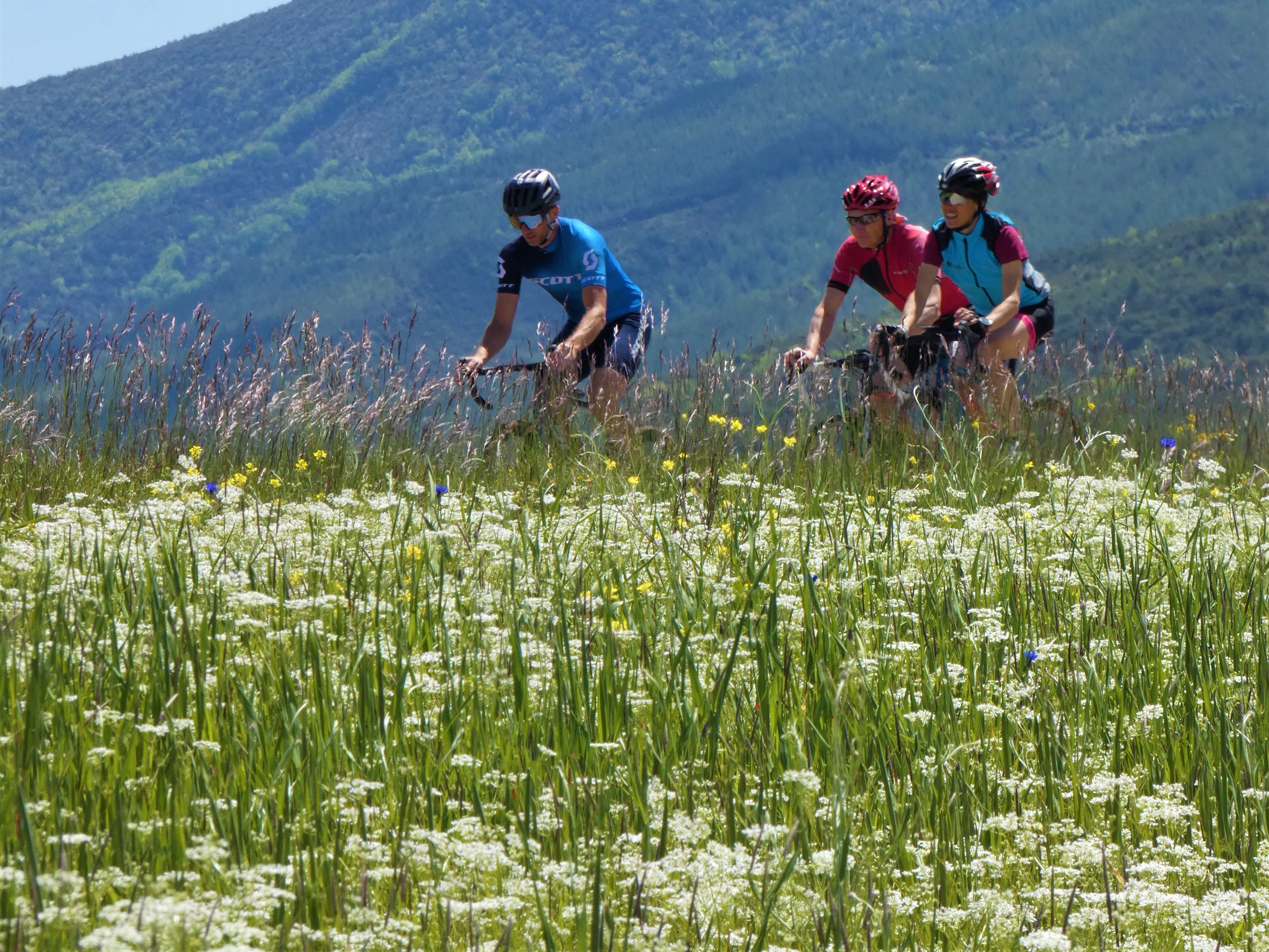
Autour du Risou by bike
Rosans Medium
Autour du Risou by bike
Medium4h30
59,9km
+1483m
-1480m
Loop
Embed this item to access it offline
Description
- From Rosans, head down Rue Aristide Briand to reach Route de Gap, and follow it to the next intersection.
- Take Route D 949 to Montjay via Saint-André-de-Rosans.
- In Montjay, follow the D 226 and cross the Col de Serre Larobe (1,014 m) to reach the Serres/Rosans road.
- At the intersection, take the D 994 for 2 km until you reach the junction with the D 26.
- Begin the climb up the Col des Tourettes (with an average gradient of 7%). Follow the D 26 to La Charce.
- In La Charce, take the D 338 then the D 25 to return to Rosans and its Place de l’Abbé Bicais.
- Departure : Chruch, Rosans
- Arrival : Chruch, Rosans
- Towns crossed : Rosans, Moydans, Saint-André-de-Rosans, Sorbiers, Montjay, Épine, Ribeyret, Valdoule, Charce, and Pommerol
Forecast
Altimetric profile
Recommandations
The Sisteronais Buëch region has been designated an “Espace Cyclosport” by the French Cycling Federation and meets quality standards for accommodating road cyclists.
Information desks
Rue Aristide Briand, 05150 Rosans
Transport
Let’s limit our trips and use public transportation and carpooling: https://zou.maregionsud.fr
Access and parking
From Serres (24 km), take the D 994 to Rosans. Turn right in the center of the village onto the D 25.
Parking :
Abbé Bicais place in Rosans
1 point of interest

 Pass
PassPommerol pass
Pommerol pass is a crossing point between Les Hautes-Alpes and La Drôme, two French departments. Also named Col de la Fromagère, the pass is reachable from the tracks of Suquet and Raton’s ridges. The pass overlook the public forest of Eygues.
More information


Report a problem or an error
If you have found an error on this page or if you have noticed any problems during your hike, please report them to us here: