Tour de la Montagne d'Aujour by bike
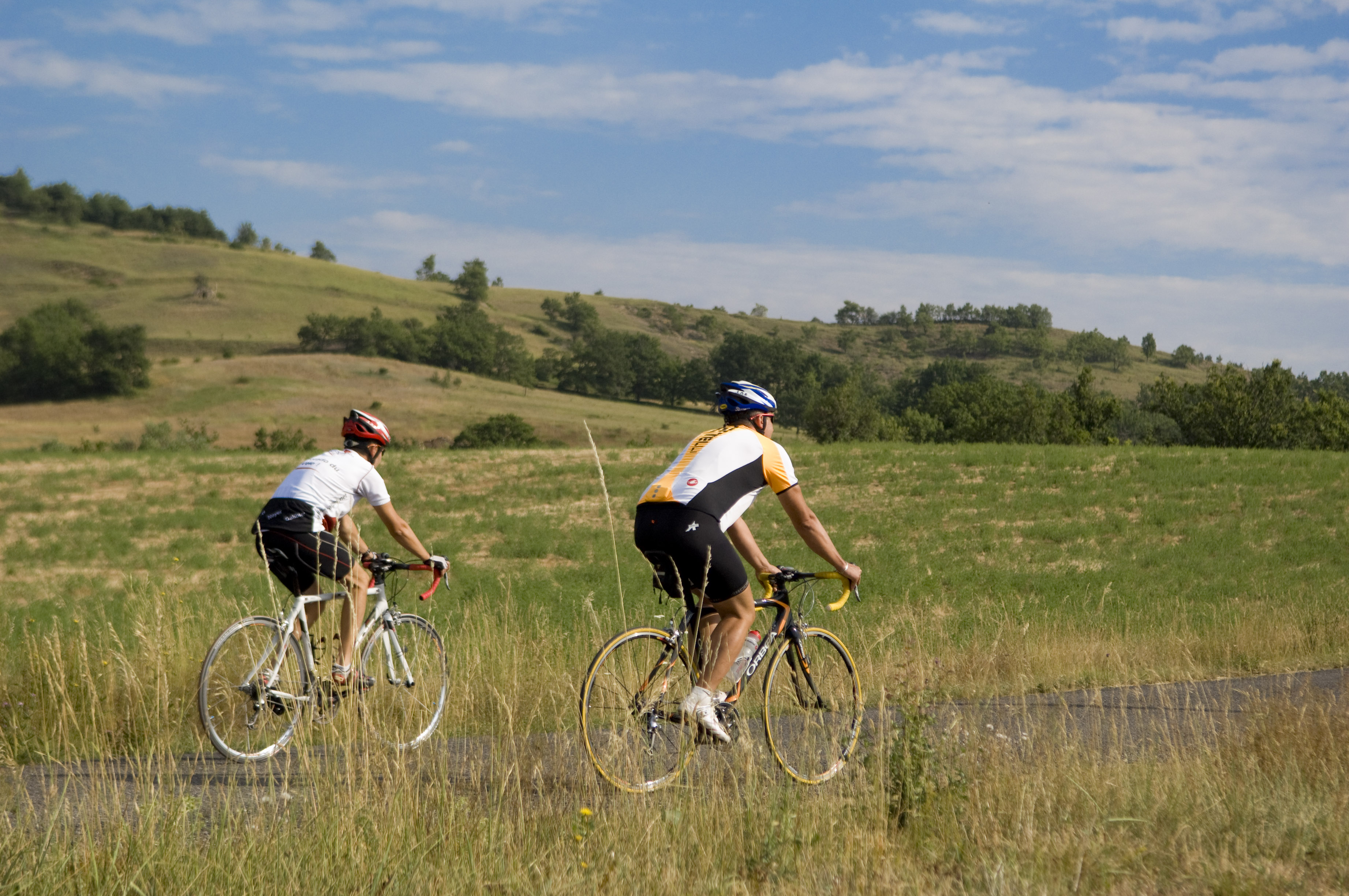
Monêtier-Allemont Medium
Tour de la Montagne d'Aujour by bike
Medium4h
56,6km
+1379m
-1380m
Loop
Embed this item to access it offline
Description
- Starting from Monêtier-Allemont, cross the canal and take the D 942 to Ventavon.
- At the intersection of the D 942 and D 21, take the D 21 and begin the climb up the Col de Faye (934 m elevation).
- At the intersection of the D 21 and D 48 in Savournon, take the D 48 to Chabestan.
- At the D 48/D 49 intersection, follow the D 49 then the D 149 to reach the village of Saint-Auban d’Oze.
- In Saint-Auban d’Oze, continue on the D 149 and begin the climb up the Col des Verniers (1,035 m). Proceed to Châteauneuf-d’Oze.
- Take the D 20 to the Col d'Espréaux. Follow this road to the canal road.
- Follow the canal from Sisteron back to the starting point (Monêtier-Allemont).
- Departure : Monêtier-Allemont
- Arrival : Monêtier-Allemont
- Towns crossed : Monêtier-Allemont, Ventavon, Savournon, Chabestan, Saix, Saint-Auban-d'Oze, Châteauneuf-d'Oze, Esparron, Barcillonnette, and Vitrolles
Forecast
Altimetric profile
Recommandations
- The Sisteronais Buëch region has been designated an “Espace Cyclosport” by the French Cycling Federation and meets high standards for welcoming road cyclists.
- Diverse landscapes: rocky gorges, alpine pastures, fruit orchards...
Information desks
Place des Aires, 05300 Laragne-Montéglin
Transport
Let’s limit our trips and use public transportation and carpooling: https://zou.maregionsud.fr
Access and parking
From Laragne (14 km), take the D942 toward Lazer/Gap. Follow this road and cross the Durance Canal to reach Monêtier-Allemont.
Parking :
Church's parking lot, Monêtier-Allemont
2 points of interest

 Pass
PassFaye pass
The Col de Faye, located at an elevation of 922 meters, connects the Savournon Valley with the towns of Faye, Lazer, and Ventavon. This route, well known to locals, saves time when traveling from the Gap road to Serrois by avoiding detours of several dozen kilometers. It is also one of the highest points on the “Tour de la montagne d’Aujour” cycling trail.- Pass
La Croix pass
The La Croix pass is the only direct road link between Savournon and La Bâtie-Montsaléon. At an elevation of 838 meters, it offers views of the Dévoluy massif, Montagne d'Aujour, and Montagne de Saint-Genis. At the summit, visitors can see a small statue of the Virgin Mary.
More information


Report a problem or an error
If you have found an error on this page or if you have noticed any problems during your hike, please report them to us here: