
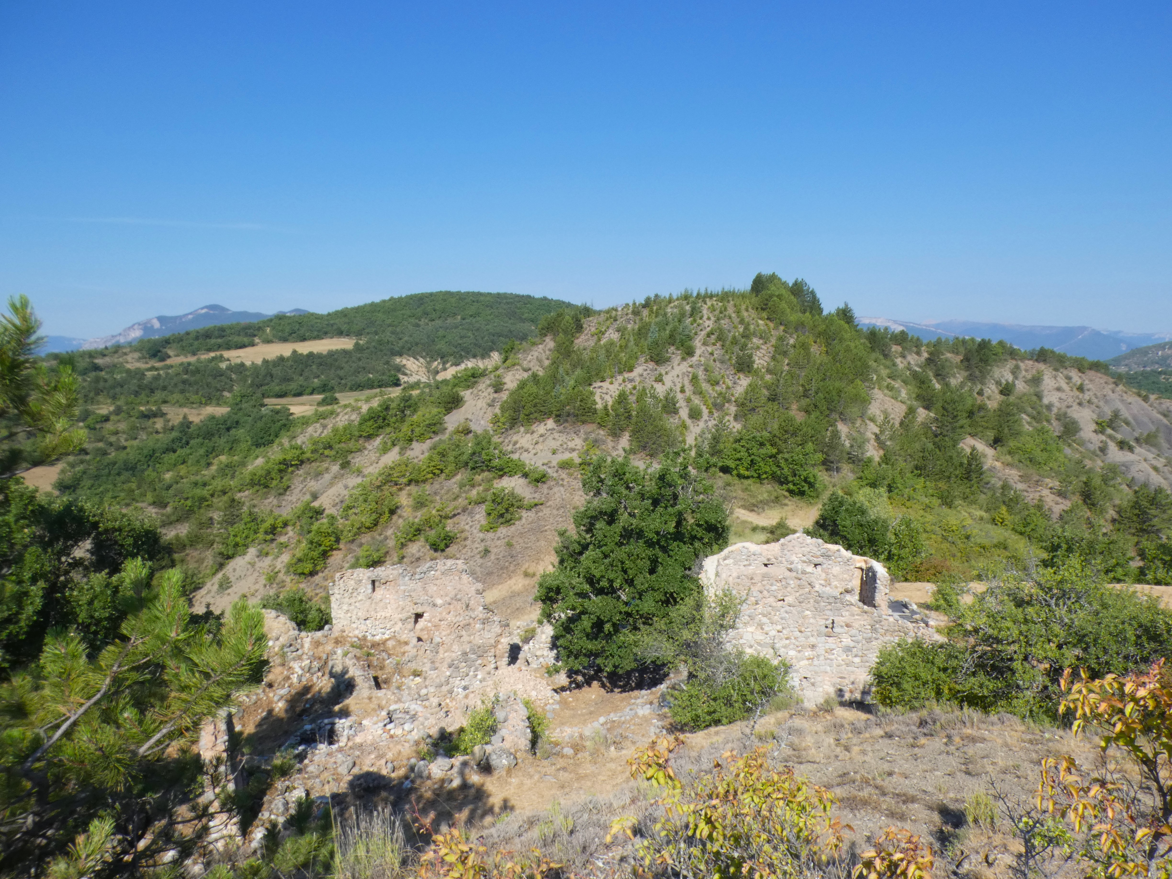
Arzeliers castle
Laragne-Montéglin Easy
Easy
Arzeliers castle
Easy2h
6,5km
+212m
-208m
Loop
Embed this item to access it offline
Description
- In the hamlet of Arzeliers, follow the road downhill toward Laragne for about 1.3 km.
- After passing the small hamlet of Le Logis, turn right onto the trail.
- At the first intersection, turn right and continue on the trail for just over 2 km.
- After 2 km, the oak forest gives way to pine trees. Turn right onto the path that climbs through the woods. The route descends, runs alongside a marl ravine, then through fields before reaching a trail. Once on the track, the view opens up over the entire Laragnais valley as well as the cliffs of Montagne de St Genis; continue in the same direction to reach the Château d’Arzeliers.
- Once you arrive at the château, simply head back down toward the road to reach the starting point.
- Departure : Hamlet of Arzeliers (cemetary), Laragne-Montéglin
- Arrival : Hamlet of Arzeliers (cemetary), Laragne-Montéglin
- Towns crossed : Laragne-Montéglin and Garde-Colombe
Forecast
Altimetric profile
Recommandations
For safety reasons, the access to the ruins is prohibited
Information desks

Place des Aires, 05300 Laragne-Montéglin
Transport
Let’s limit our trips and use public transportation and carpooling: https://zou.maregionsud.fr
Access and parking
From Laragne, take the road D 422 to the hamlet of Arzeliers
Parking :
Arzeliers Cemetery
More information


Report a problem or an error
If you have found an error on this page or if you have noticed any problems during your hike, please report them to us here: