Rocher de Beaumont
Trescléoux Hard
Hard
Rocher de Beaumont
6h30
12,1km
+985m
-985m
Return trip
Embed this item to access it offline
Description
- The hike begins at the parking lot in the center of the village of Trescléoux. From there, take the road that climbs behind the church to reach the botanical trail on the right.
- When you reach the end of the botanical trail, continue on the trail across from it, which runs alongside a park and climbs up to the ridge.
- Once on the ridge, at the trail junction, take the trail on the right and continue to the summit.
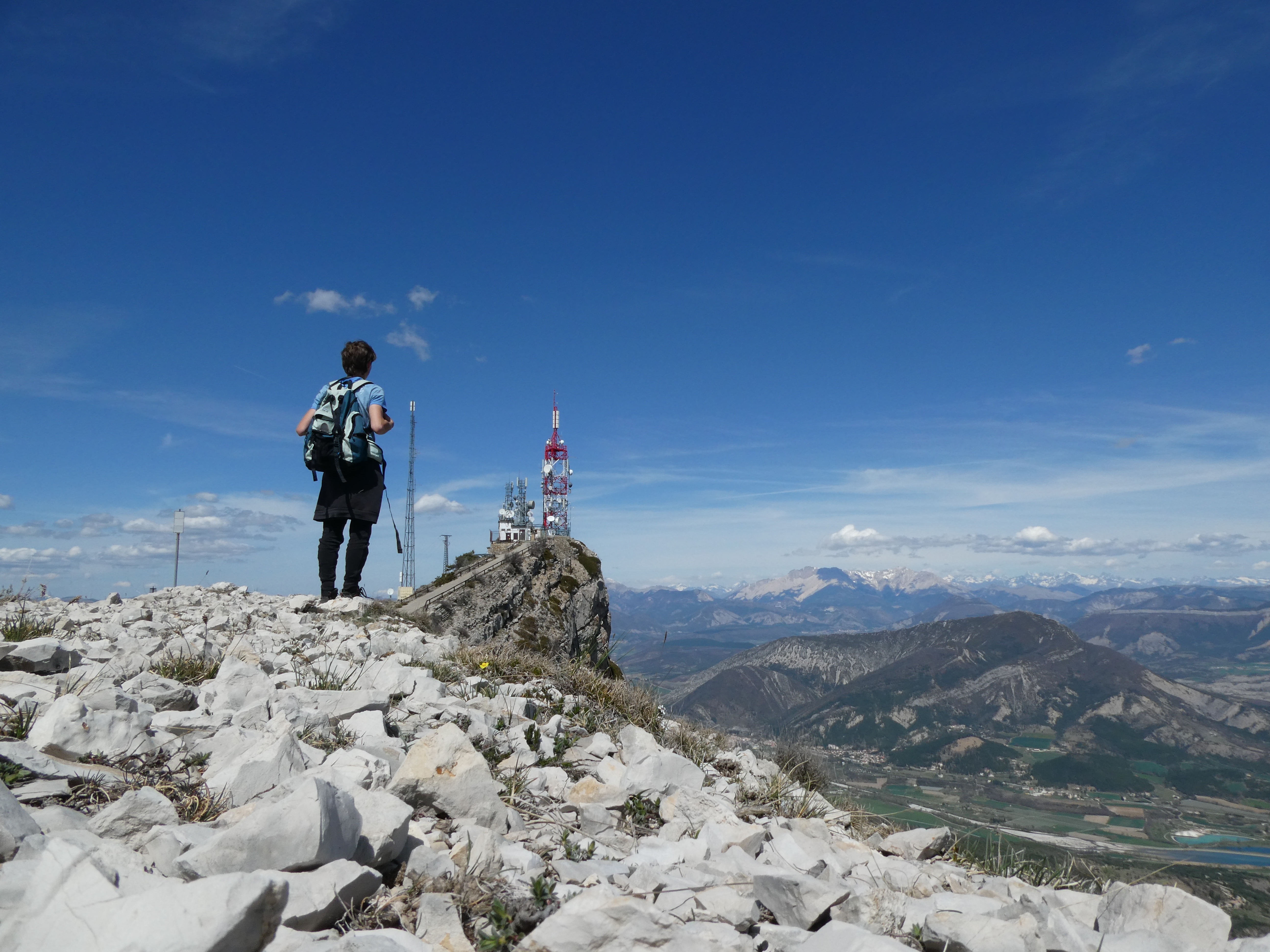
- Once you reach the summit of Rocher de Beaumont, you can enjoy a 360° view. Then simply head back down the same way.
- Departure : Chruch parking lot, Trescléoux
- Arrival : Chruch parking lot, Trescléoux
- Towns crossed : Trescléoux, Chanousse, Méreuil, and Montclus
Forecast
Altimetric profile
Recommandations
Caution: challenging trail with some tricky and technical sections
Information desks

Place du village, 05700 Orpierre
Transport
Let’s limit our trips and use public transportation and carpooling: https://zou.maregionsud.fr
Access and parking
From Sisteron (30 km), follow the D 4075 and D 1075 to Eyguians. At the intersection, take the D 949 toward Trescléoux.
Parking :
Church's parking lot, Trescléoux
1 point of interest

 Geology
Beaumont Rock
An exceptional viewpoint over the Buëch region, the Rocher de Beaumont, located at 1,545 meters, offers a magnificent 360° panorama of the surrounding mountain ranges. From here, the Digne Pre-Alps, the Dévoluy, the Écrins, and even Mont Ventoux are visible. The summit also offers a superb view of the village of Serres, the Buëch, and the Drôme Provençale. Communication antennas are installed on the rock, and these can be seen from the valley floor and the departmental road.
More information
Report a problem or an error
If you have found an error on this page or if you have noticed any problems during your hike, please report them to us here: