
Crête de Chabre by mountain bike
Val Buëch-Méouge Hard
Hard
Crête de Chabre by mountain bike
Hard3h30
19,7km
+825m
-825m
Loop
Embed this item to access it offline
Follow the black Mountain Bike Trail No. 11
Description
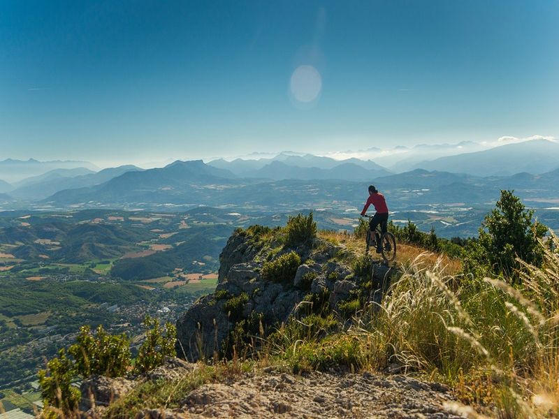
From the village of Pomet, the route climbs up to the ridge along the forest road.
Once at the summit of Montagne de Chabre, the trail follows the ridge along a path. At the end of the ridge, take a trail down toward Pomet, passing through various sections of trails and paths through the woods.
Once at the summit of Montagne de Chabre, the trail follows the ridge along a path. At the end of the ridge, take a trail down toward Pomet, passing through various sections of trails and paths through the woods.
- Departure : Pomet, Châteauneuf-de-Chabre
- Arrival : Pomet, Châteauneuf-de-Chabre
- Towns crossed : Val Buëch-Méouge and Saléon
Forecast
Altimetric profile
Recommandations
Caution: technical section on the ridge
Information desks
Place des Aires, 05300 Laragne-Montéglin
Transport
Let’s limit our trips and use public transportation and carpooling: https://zou.maregionsud.fr
Access and parking
From Laragne, take the D942 south. Turn right onto the D124, then right again to get back onto the D942. After about 1.5 km, follow the signs for Pomet to reach the village.
Parking :
Pomet Parking Lot (parking available along the trail or the road), Châteauneuf-de-Chabre
More information


Report a problem or an error
If you have found an error on this page or if you have noticed any problems during your hike, please report them to us here: