
Sous le Duffre by mountain bike
Valdoule Hard
Hard
Sous le Duffre by mountain bike
Hard2h30
22,7km
+904m
-904m
Loop
Embed this item to access it offline
Follow the Mountain Bike Trail No. 7
Description
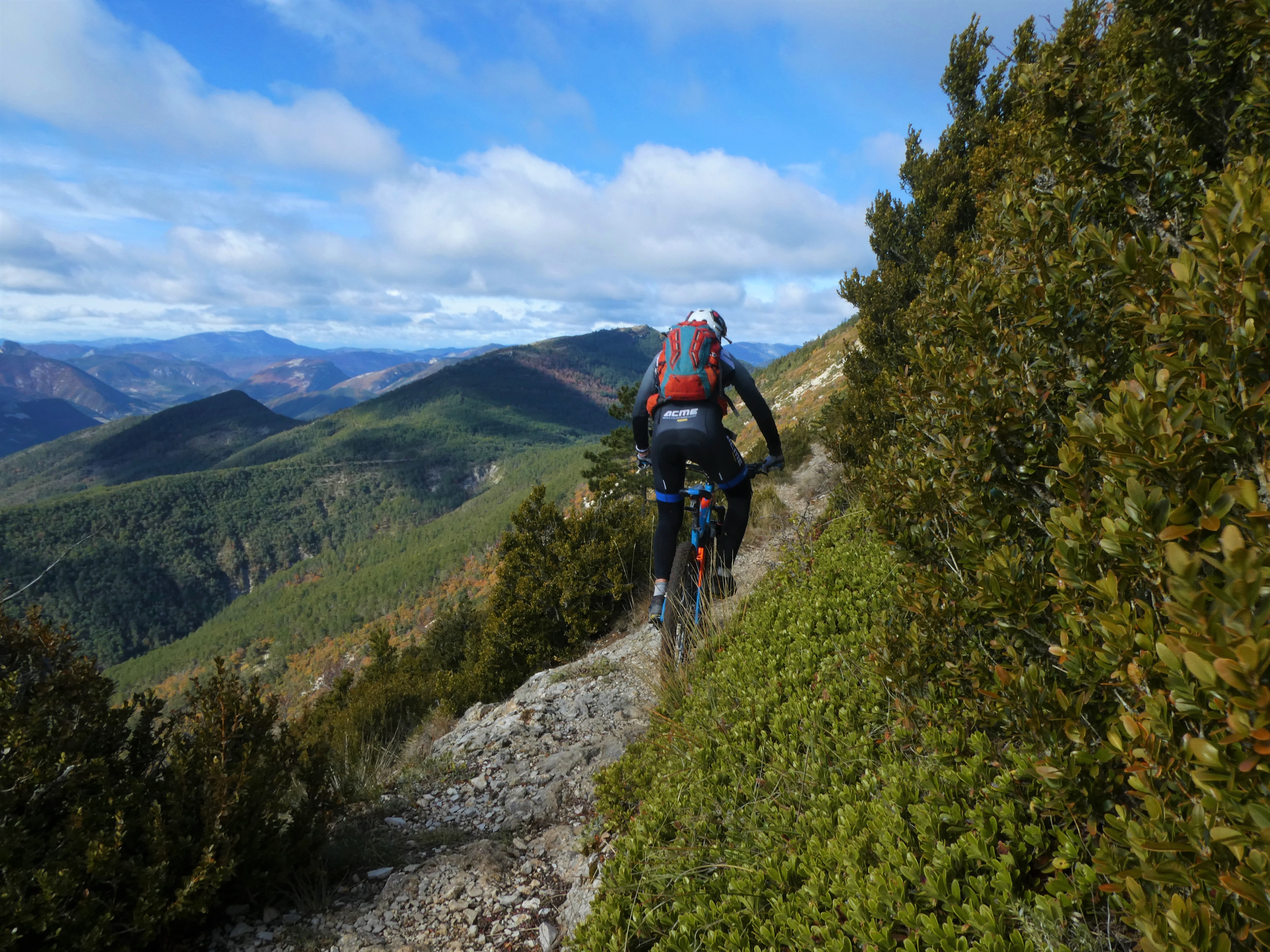
Starting from Montmorin, follow the road uphill for 4 km to the forest ranger station of the Val d’Oule National Forest. Take the easy forest trail to climb 600 meters in elevation over 6.5 km, up to the Duffre plains. Turn left to begin the descent. The trail starts on a ridge path; the unobstructed view allows you to see the Oule Valley, Maraysse Mountain, and on a clear day, catch a glimpse of Mont Ventoux. Be careful, however, as some sections can be technical in wet weather. The route then passes through the woods on a smooth, fast, and very fun singletrack with no difficulty. Descend along an old grassy trail below the Col des Pros and stay alert for the hard-to-see switchbacks. Continue on a technical trail. Caution: a section of about 50 m requires you to dismount to avoid falling (warning sign on site). The upper part of the trail is fairly rolling and smooth, then becomes more rugged with moderate hairpin turns in the second section. This trail leads back to the forest ranger station. Return to the starting point via the same road.
- Departure : Village, Montmorin
- Arrival : Village, Montmorin
- Towns crossed : Valdoule and Épine
Forecast
Altimetric profile
Recommandations
- Recommended bike: Mountain bike and e-bike
- Challenging downhill ride
Information desks
Rue Aristide Briand, 05150 Rosans
Transport
Let’s limit our trips and use public transportation and carpooling: https://zou.maregionsud.fr
Access and parking
From Serres, take the D994, then the D26 north to Montmorin.
Parking :
Parking lot in Montmorin
More information


Report a problem or an error
If you have found an error on this page or if you have noticed any problems during your hike, please report them to us here: