
Montée des Croix
Melve Medium
Montée des Croix
Medium2h
7,9km
+593m
-590m
Loop
Embed this item to access it offline
Description
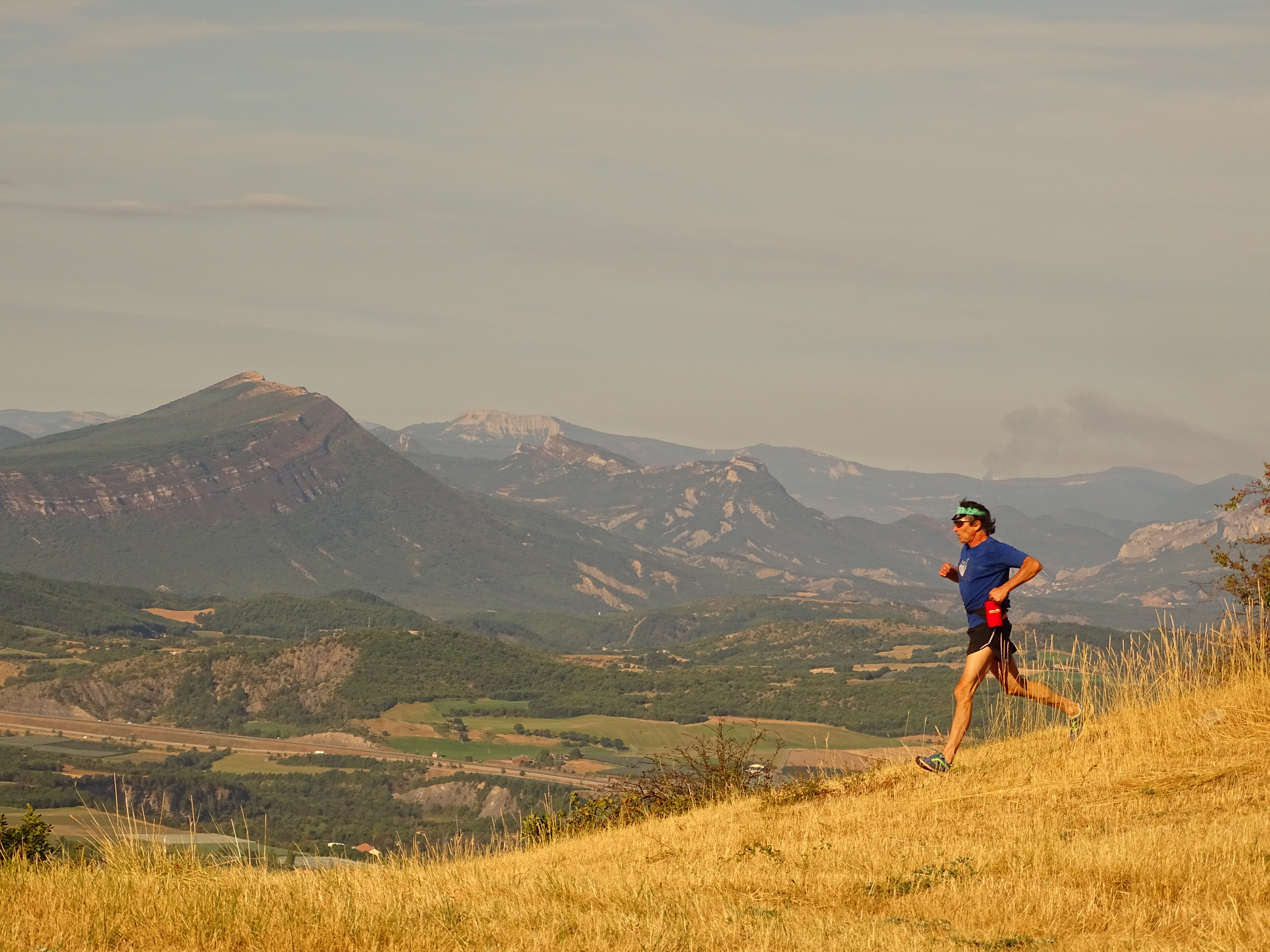
- From Le Serre (851 m), follow the D 104 north toward Claret (1 km).
- At Chemin de la Plane (855 m), take the trail on the right, which is gentle at first. It becomes increasingly steep until it reaches the forest and the Tête de Bourcier.
- Below Bourcier (1,235 m), continue along the ridge, passing a short, somewhat steep section to reach the summit of Les Croix.
- At Les Croix (1,425 m), begin the descent, staying on the ridge for 500 m.
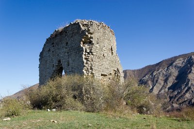
- Continue, leaving a trail on your left that heads toward Les Chanderettes. A technical descent follows to the Melve tower (don’t miss the sighting tubes and the Géoparc information panel).
- At 990 m, take the trail that drops sharply to the right and leads to Le Serre and the trailhead.
- Departure : Le Serre, 1 km from Melve village
- Arrival : Le Serre, 1 km from Melve village
- Towns crossed : Melve
Forecast
Altimetric profile
Recommandations
There are many points of interest not to be missed along the way: the Melve Tower, the sighting tubes, the Geopark information kiosk...
Information desks
Transport
Let’s limit our trips and use public transportation and carpooling: https://zou.maregionsud.fr
Access and parking
From La-Motte-du-Caire (7 km), take the D 104 to Melve and continue north to Le Serre.
Parking :
Parking lot in Le Serre
1 point of interest
Au pied de la tour de Melve - Office de Tourisme La Motte du Caire  Flora
FloraAubépine
At the foot of the Melve Tower, an impassable barrier—all too often replaced in rural areas by barbed wire—stands before you. Among the various shrubs and small trees that make up this barrier, the hawthorn plays a prominent role. Derived from the Latin “alba” (white) and “spina” (thorn), it has white bark. A natural shelter or refuge for many birds and insects, the hawthorn has also been used by humans for medicinal and culinary purposes: its flowers, harvested in small bunches along with their young leaves, are used to make tea. It has a calming effect and appears to be effective against anxiety and insomnia. Its young leaves can be eaten raw in a salad, garnished with a few of its flowers. Its fruits, the hawthorns, rich in sugars, pectin, and vitamin C, can be mixed with flour to make pancakes, bread, and more. To do this, crush the hawthorns with your fingers into the flour to mix their pulp with it. Then sift to remove the pits, and use this colorful, fragrant flour just like any other flour. However, its pits contain cyanide and are therefore potentially toxic.
More information


Report a problem or an error
If you have found an error on this page or if you have noticed any problems during your hike, please report them to us here: