
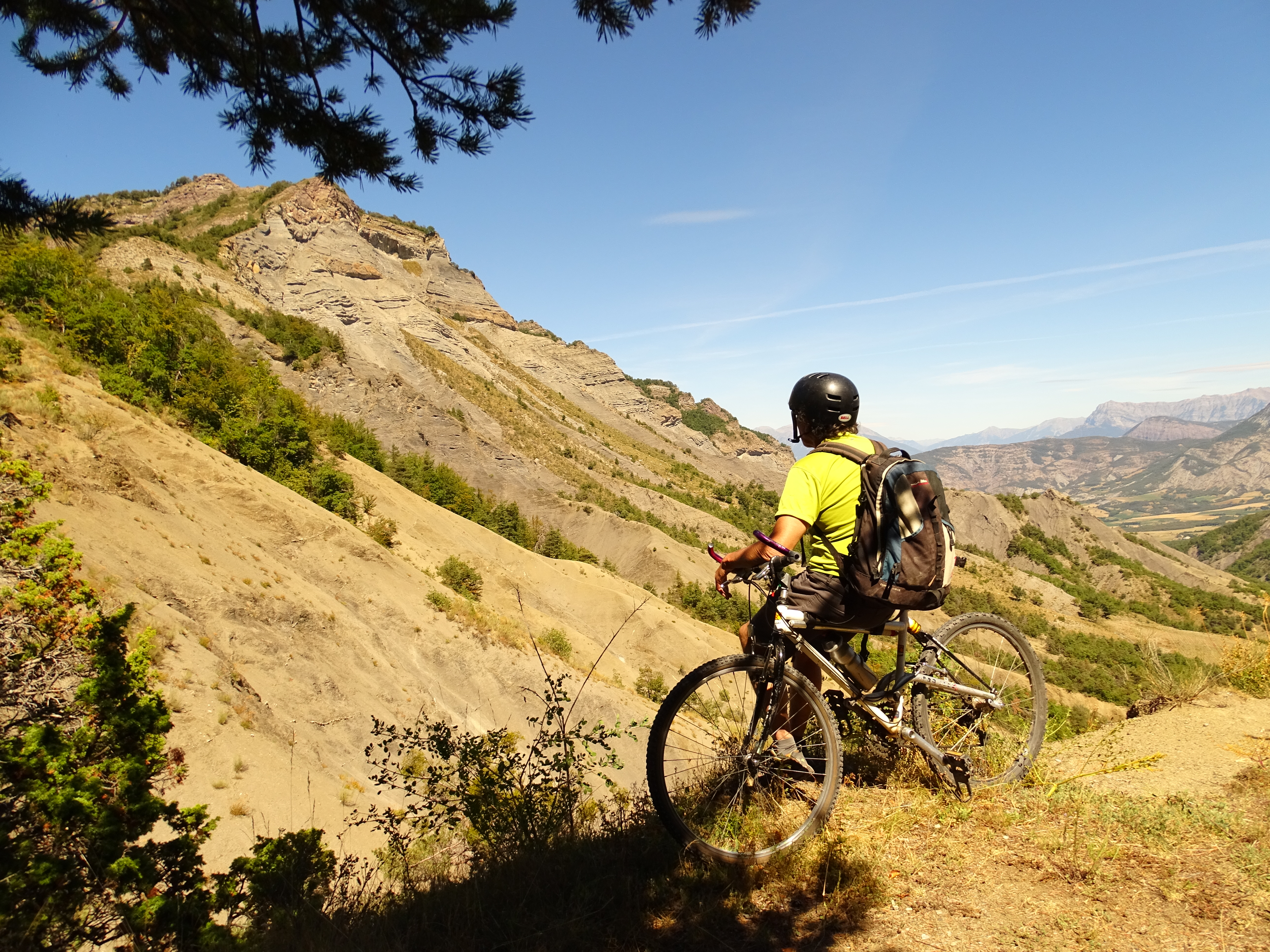
Tour de la montagne des Barses
Turriers Medium
Tour de la montagne des Barses
Medium3h
17,8km
+701m
-701m
Loop
Embed this item to access it offline
Follow the Mountain Bike Trail No. 9
Description
- From Turriers (1,080 m), take the road due south to the intersection near the “Roche Cline” restaurant. Continue straight ahead on the road that climbs up to the Col des Sagnes.
- From Gierre (1,100 m), halfway along the route, turn right onto the small paved road to the hamlet of Gierre. Continue along the trail behind the houses. The trail climbs at first, then levels off to reach a trail junction.
- Take the right-hand track. The trail becomes very smooth all the way to the Col des Rouyères.
- At the Col des Rouyères (1,300 m), turn left behind the sign onto a faint trail that quickly turns into a path. Starting as a traverse, the path gradually climbs up to the Crête des Rouyères.
- Once at the Crête des Rouyères (1,360 m), rejoin the trail and descend to the Jas communal refuge.
- At the Jas spring (1,300 m), continue below the refuge along a trail through the woods. After a few switchbacks, you’ll reach a trail.
- At Gaudissard (1,120 m), follow the trail for a few dozen meters, just past the bend. Continue along the trail, which, after a crossing, winds down in numerous switchbacks to rejoin the track.
- Continue along the track to reach the D951.
- At the hamlet of Les Aires (905 m), on the D951, descend to Gigors.
- Once at the church in Gigors (870 m), turn right off the D951 and continue downhill between the houses along the trail.
- At La Chapelle (840 m), take the trail on the right that climbs uphill and leave it shortly afterward. Pass by the “talking rock” and immediately afterward cross the Boulon stream via an old bridge. Continue by crossing the ford.
- Near Les Clots (860 m), continue along the ascending trail, leaving the footbridge over the Très Pébès ravine on your left. As you exit the forest, continue across the fields.
- At the Coustarenche path (925 m), pass in front of the houses and reach the D951a by heading uphill toward Turriers.
- Leave the road and take the trail that quickly crosses a ford and climbs back to your starting point, passing in front of the Oratory of St. Anthony.
- Departure : Sports Hall, Turriers
- Arrival : Sports Hall, Turriers
- Towns crossed : Turriers, Faucon-du-Caire, Gigors, and Bellaffaire
Forecast
Altimetric profile
Recommandations
- Moderately challenging. No need to carry your bike. From the Col des Rouyères, a somewhat strenuous trail leads to the ridge. Below the Source du Jas, there are two sets of switchbacks that are occasionally quite tight. After Gigors, there are three fords to cross.
- Passable year-round
Information desks
Transport
Let’s limit our trips and use public transportation and carpooling: https://zou.maregionsud.fr
Access and parking
From Gap (34 km), follow the D 900B south. After Remollon, take the D 951 to Bréziers, then Bellaffaire. From there, take the D 951A to Turriers.
Parking :
Parking lot around the Sports hall in Turriers
More information


Report a problem or an error
If you have found an error on this page or if you have noticed any problems during your hike, please report them to us here: