
Le ravin de Terre Basse
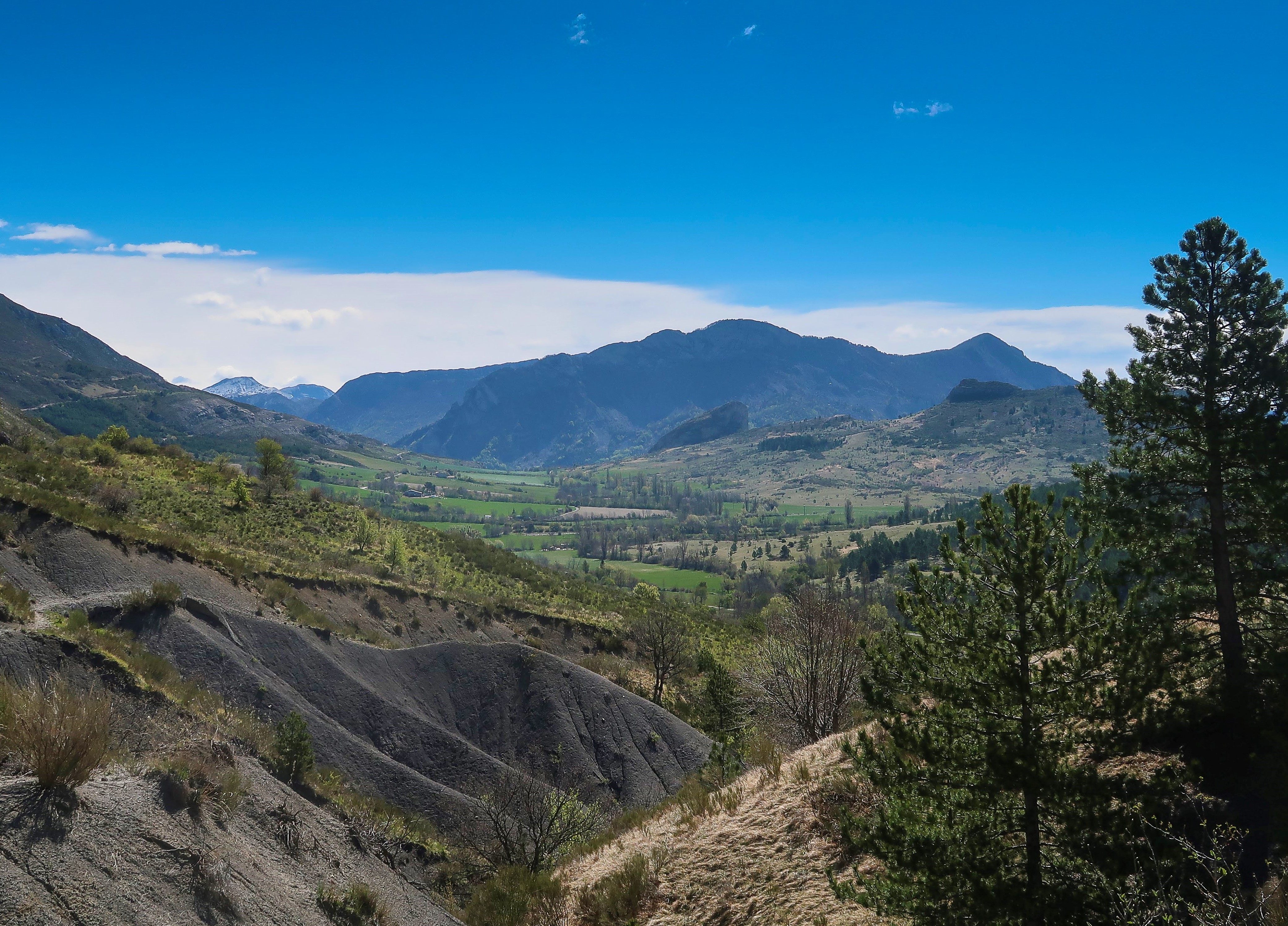
Châteaufort Hard
Hard
Le ravin de Terre Basse
Hard5h30
15,2km
+859m
-857m
Loop
Embed this item to access it offline
Description
- From the parking lot below the town hall in Châteuafort, head up to the upper part of the village, where you’ll find red-and-white trail markers (GR) on the left. Follow them down through the houses; after a few switchbacks, you’ll reach the Pène ravine. Cross the footbridge and climb back up the opposite side to a junction.
- At L’Echaillon (650 m), take the trail on the left that continues uphill. After a clearing, a trail accompanies the path. Soon, you’ll reach a ridge and a scree slope beneath rocky outcrops. Continue to the pass. Follow the southern flank of Mount Gourras to reach the village.
- From the village square in St-Geniez, continue through the village, following the yellow markings through the narrow streets. Once past the last houses, follow the paved road to the pass, passing over a pretty rocky outcrop (climbing school).
- At Pas de l’Echelle (1,220 m), leave the trail on the right that climbs to the summit of Trainon and continue down the track toward the Terre Basse ravine. After about a kilometer, pass a forest trail on the right and go through the gate marking the entrance to the Domaine de la Pène. Pass successively by the convents of La Pène, Terre Basse, and Les Jaumes. A small paved road leads back to the starting point.
- Departure : Châteaufort town / St-Geniez main square
- Arrival : Châteaufort town / St-Geniez main square
- Towns crossed : Châteaufort, Valernes, and Saint-Geniez
Forecast
Altimetric profile
Recommandations
You can also make a round trip to the summit of Trainon (an additional hour and a half)
Information desks
1 place de la République, 04200 Sisteron
Transport
Let’s limit our trips and use public transportation and carpooling: https://zou.maregionsud.fr
Access and parking
From Sisteron (17 km), take the D 951 northeast to Châteaufort.
Parking :
Parking in the square at the village entrance, Châteaufort / Str-Geniez, in the center of the village
More information


Report a problem or an error
If you have found an error on this page or if you have noticed any problems during your hike, please report them to us here: