
La Chapelle Saint-Amand
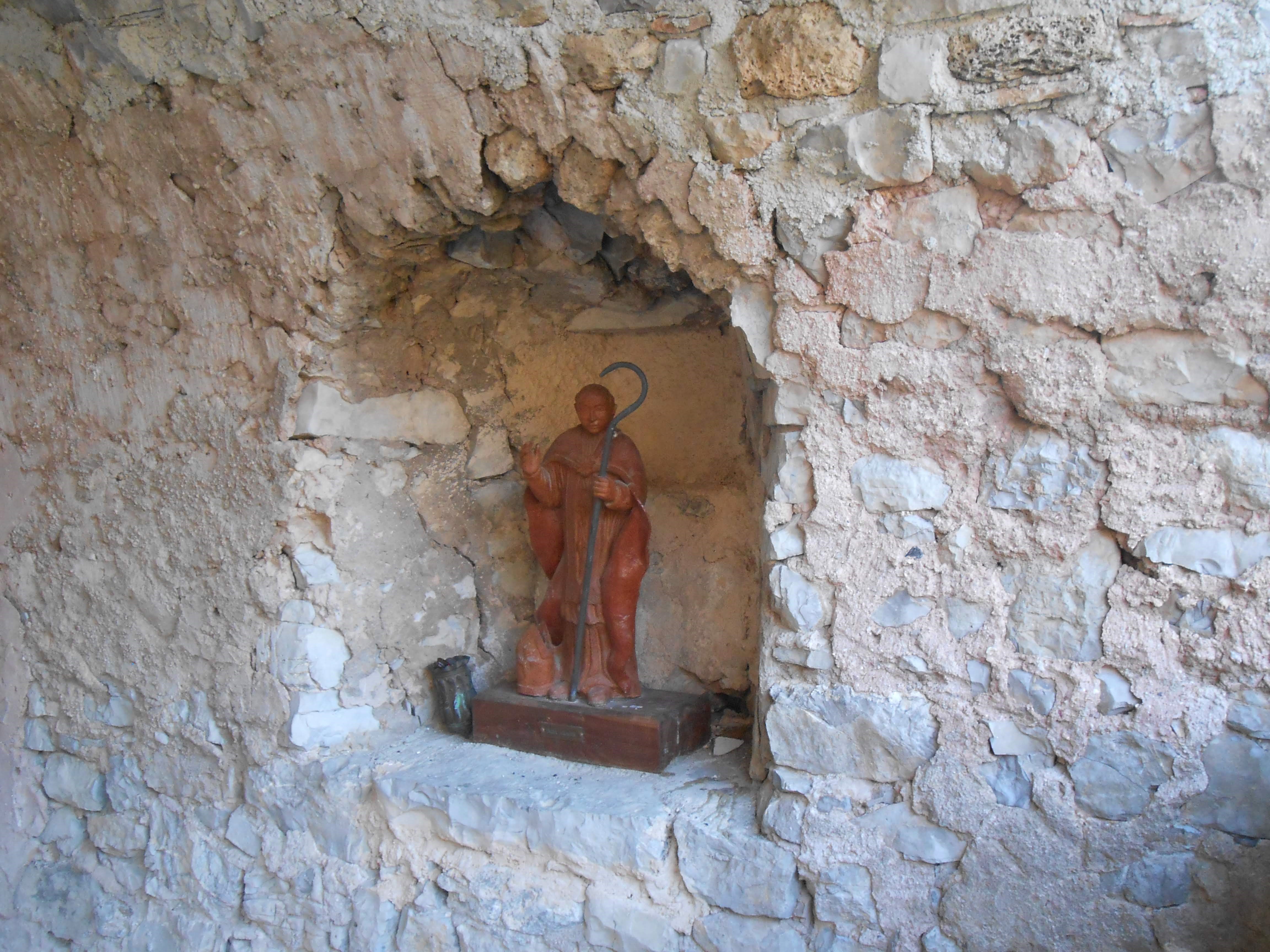
Clamensane Medium
La Chapelle Saint-Amand
Medium6h
12,8km
+773m
-776m
Loop
Embed this item to access it offline
Description
- From Clamensane, follow the street behind the town hall and head up to the top of the village.
- Continue along a path that passes in front of the last house. Turn right a little further on to quickly reach a ridge. Continue along the ridge, passing an old cemetery with scattered graves and a “Talking Rock” overlooking the village. You can listen to a story on your smartphone by scanning the QR code on the Talking-rock. After a short descent, you’ll reach a small road.
- Take the paved road to the left and climb for 500 m.
- At Font-Reynier (845 m), leave the road and take the forest trail. Shortly after, pass through an ONF gate and continue for about 4 km.
- At the intersection, take the right fork and continue to the end.
- At Col de la Croix (1237 m), continue along a trail on the ridge to the right.
- To the left, cross a pretty scree slope beneath the rocky outcrops of the summit of Saint-Amand. This leads to the chapel of the same name, nestled on a flat outcrop. A “Talking Rock” is hidden behind the chapel. You can listen to a story on your smartphone by scanning the QR code on the Talking-rock.
- At the Saint-Amand Chapel (1,290 m), head down below the chapel; the trail continues to descend along the ridge via a winding path through a rocky but wooded area.
- Follow the trail back up for a few meters, then turn left onto a less clearly marked trail. At the end of the trail, continue along the path that descends toward the village.
- When you reach the trail again, follow it to the right.
- Cross the ford and shortly after reach a small pass overlooking the campground. Take the trail on the left that descends into the Naïsses ravine and its hemp ponds.
- From the D 1, head back to the village and the starting point.
- Departure : Town hall, Clamensane
- Arrival : Town hall, Clamensane
- Towns crossed : Clamensane and Bayons
Forecast
Altimetric profile
Recommandations
You can listen to a story on your smartphone by scanning the QR code on the Talking-rock.
Information desks
Transport
Let’s limit our trips and use public transportation and carpooling: https://zou.maregionsud.fr
Access and parking
From Sisteron (20 km), follow signs for La Baume, then take the D951 toward La-Motte-du-Caire. 3 km before reaching La-Motte-du-Caire, turn onto the D1 and continue to Clamensane.
Parking :
Town hall, Clamensane
More information


Report a problem or an error
If you have found an error on this page or if you have noticed any problems during your hike, please report them to us here: