Montée de Saint Amand
Clamensane Medium
Montée de Saint Amand
2h30
14,5km
+743m
-748m
Loop
Embed this item to access it offline
Description
- From Clamensane (692 m), follow Route D1 toward Bayons (1 km).
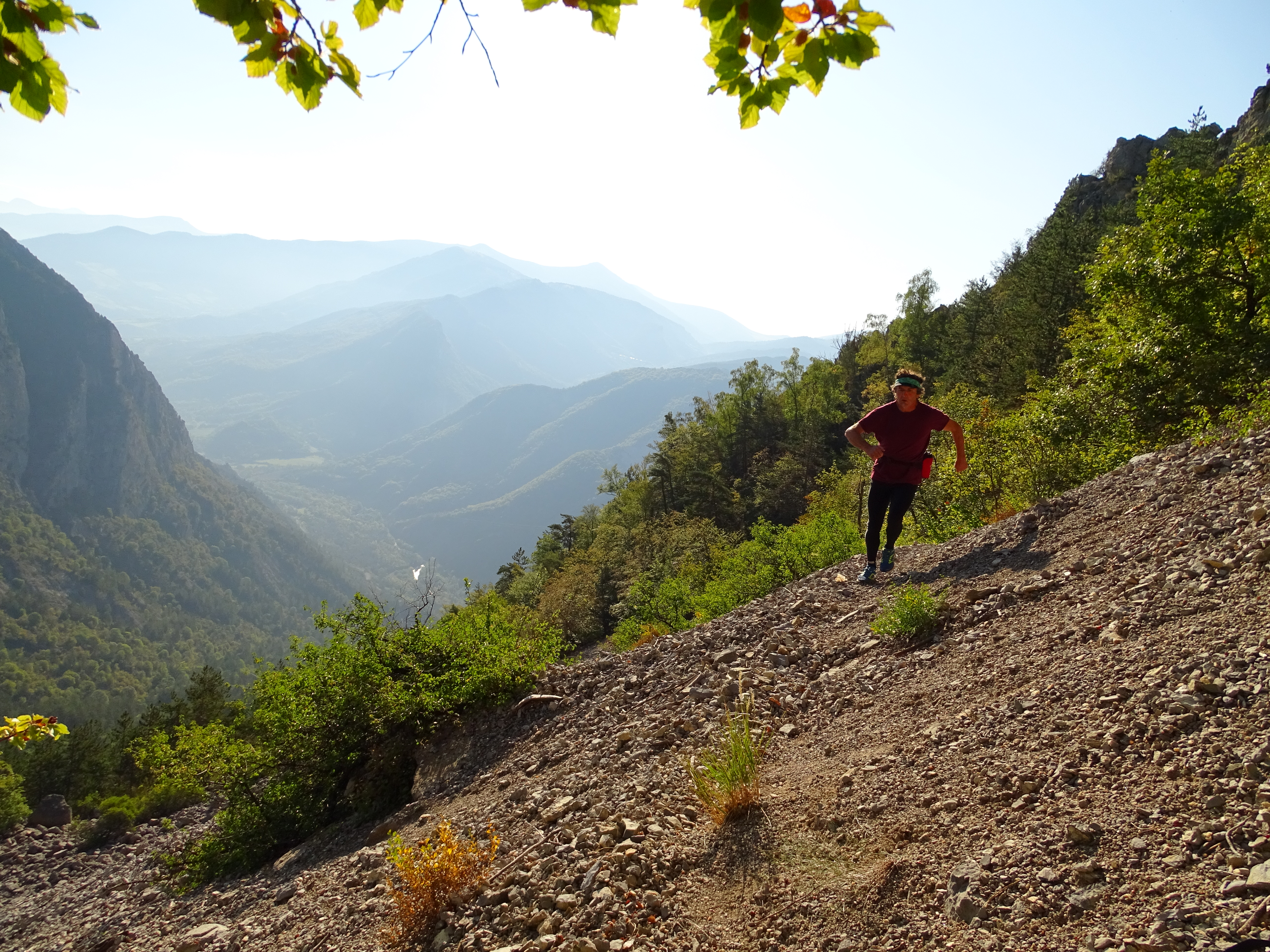
- At La Clastre (705 m), turn left onto the dirt road, then take the trail, which becomes increasingly steep. At the power line, take a short break on a flat section before continuing up the very steep slope.
- At the Saint-Amand Chapel, continue up a short climb, then cross a beautiful scree slope leading to the Col de la Croix.
- At the Col de la Croix (1,237 m), begin the descent along the forest track. Pass the track on the right and continue down to the ONF gate.
- At the Col de la Croix trail (797 m), head back up the small paved road to the hamlet of Les Basses Graves.
- At Les Basses Graves, take the trail then the path leading to the Sagnières valley and its aqueduct. Once you reach the Vermeil valley, descend gently along the trail on the left to return to the starting point.
- Departure : Town hall, Clamensane
- Arrival : Town hall, Clamensane
- Towns crossed : Clamensane and Bayons
Forecast
Altimetric profile
Recommandations
- This trail may pass through horse pastures. Please remember to always close the gates behind you.
- You can listen to a story on your smartphone by scanning the QR code on the rock
Information desks

Transport
Let’s limit our trips and use public transportation and carpooling: https://zou.maregionsud.fr
Access and parking
From Sisteron (20 km), follow signs for La Baume, then take the D951 toward La-Motte-du-Caire. 3 km before reaching La-Motte-du-Caire, turn onto the D1 and continue to Clamensane.
Parking :
Town hall, Clamensane
1 point of interest
Office de Tourisme La Motte du Caire  Lake and river
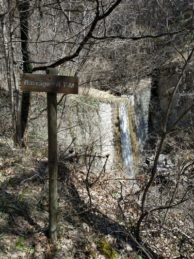
The water
Indeed, through this small ravine known as the “Sagnières” (marshes, wet meadows), the river spreads its blessings throughout the first part of the trail. As Saint-Exupéry said, “What flowed thus from the belly of the mountain was life; it was the blood of men.” These men knew how to use and channel this resource, as they have done here, in order to survive. Is it not the most abundant element on the planet? With a global volume estimated at 1,360 million km³, it is also the most abundant component of living matter: humans and animals are composed of about 71% water, green plants of 85%, and wood of 50%. In other words, this water flowing at your feet remains the most precious resource the earth can offer to humankind.
More information
Report a problem or an error
If you have found an error on this page or if you have noticed any problems during your hike, please report them to us here: