
Grande boucle des Hautes Terres de Provence by bike
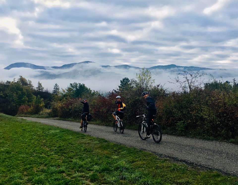
Motte-du-Caire Hard
Hard
Grande boucle des Hautes Terres de Provence by bike
Hard1j
83,9km
+2054m
-2051m
Loop
Embed this item to access it offline
Description
- A cycling route providing access to the central area of the Hautes Terres de Provence. Heading toward Clamensane (7 km), enter the Sasse Valley and follow it upstream to Bayons, after passing through its gorge.
- From there, the road climbs through the “Tourniquets” to reach the Col des Sagnes (1,182 m). Descend with the Ecrins range in front of you, via Turriers, to the intersection with Route D 951.
- Follow it to the right through Bréziers and down into the Val de Durance. Just after crossing the canal, turn left toward Rochebrune.
- Continue through the Trois Lacs for 7 km. From there, tackle the steep 5-km climb to Piégut. The route then winds along ridges to the hamlet of “Les Garcins.” A winding descent leads to Curbans.
- Follow the Durance River for 10 km to reach Claret for the final climb and the village of Melve. A few kilometers bring you back to the starting point.
- Departure : Village center, la Motte-du-Caire
- Arrival : Village center, la Motte-du-Caire
- Towns crossed : Motte-du-Caire, Clamensane, Bayons, Turriers, Bellaffaire, Gigors, Bréziers, Rochebrune, Piégut, Venterol, Curbans, Claret, and Melve
Forecast
Altimetric profile
Recommandations
It’s best to set aside two days to complete the loop.
Information desks
Transport
Let’s limit our trips and use public transportation and carpooling: https://zou.maregionsud.fr
Access and parking
From south of Gap (39 km), take the D 900B to Remollon, then the D 951 southbound to La-Motte-du-Caire.
Parking :
Parking lot next to the town hall in La-Motte-du-Caire
More information


Report a problem or an error
If you have found an error on this page or if you have noticed any problems during your hike, please report them to us here: