
Tour du Défens
Lachau Easy
Easy
Tour du Défens
Easy2h30
8,1km
+379m
-379m
Loop
Embed this item to access it offline
Description
- Across from City Hall, take the road to the left, cross the bridge, then turn left immediately (Chemin de la Pinié). After 300 m, the road becomes a dirt track and passes between two houses. Follow this path as it climbs gradually through the pine forest and winds around Mont Défens.
- At the first fork in the forest, continue on the main trail to the right. Do the same at the next intersection before a short steep climb.
- Follow a large, hilly, fenced pasture on the left (horses). The path veers left, continues along the fence, and reaches a fork.
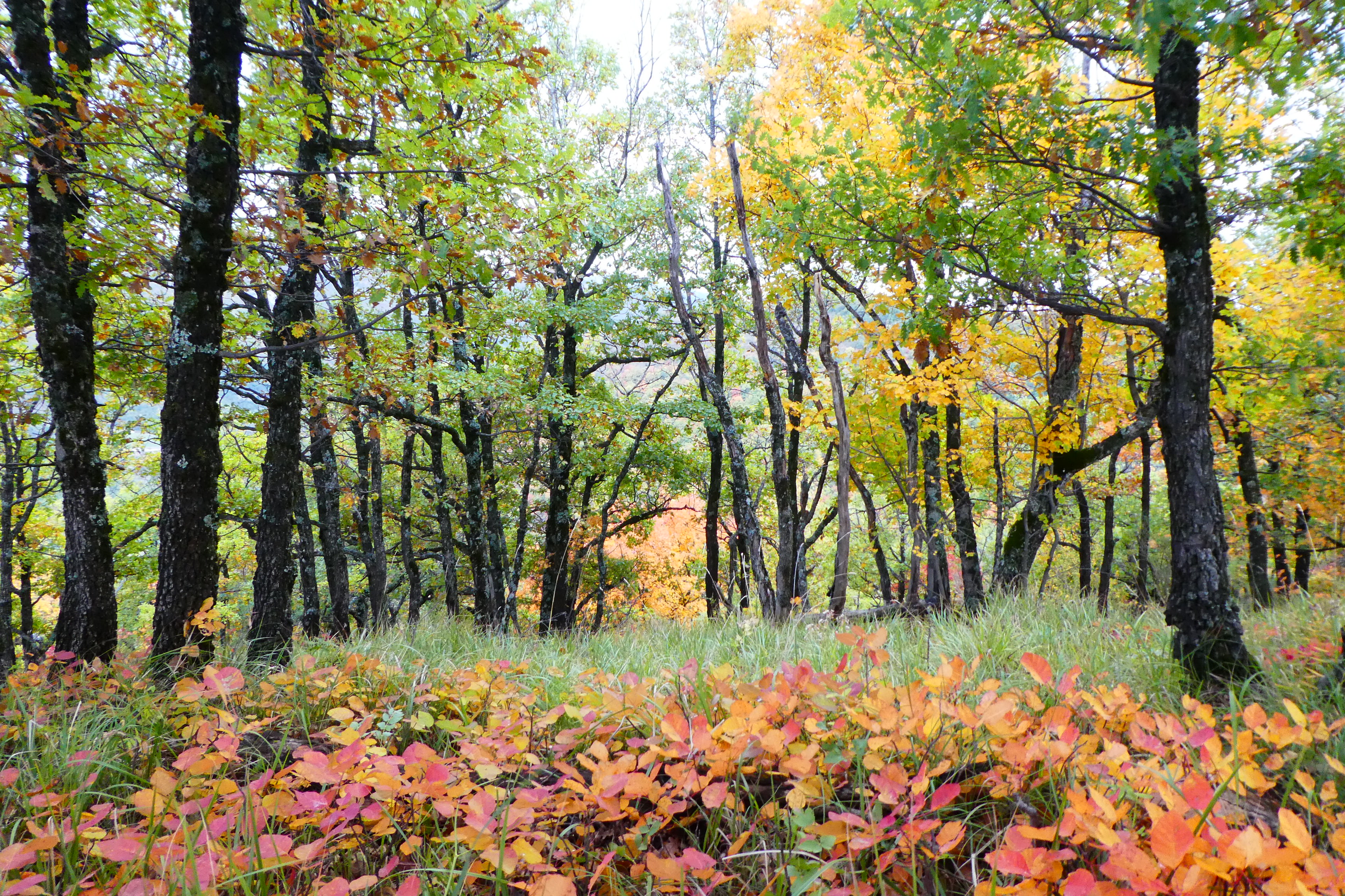
- Follow the trail on the right (Le Défens) and continue the climb through a lovely beech forest. At the intersection, head up to the right, skirt a clear-cut area, and reach the ridge of Le Défens (an area currently undergoing reforestation).
- Descend the south-facing slope, continuing along a lovely little path winding through an oak grove. This path traces a beautiful downward traverse beneath the Défens mountain to reach the valley floor. Stay alert and carefully follow the trail markers and cairns as you cross the heathland dotted with broom and wild lavender; otherwise, the path is easy to lose.
- Once you reach the bottom, cross the road and continue on the trail directly across. It quickly turns left and, 50 meters further on, joins the path you should take to the right to reach the few houses in sight.
- Walk down the road to the junction with the D 201. Take the footbridge across the street, then turn right immediately to return to Lachau along the left bank of the river. Continue on the road ahead, then, at the “Le Canal” sign, turn right to return to the starting point at the town hall.
- Departure : Town hall, Lachau
- Arrival : Town hall, Lachau
- Towns crossed : Lachau
Forecast
Altimetric profile
Information desks
Place des Aires, 05300 Laragne-Montéglin
Transport
Let’s limit our trips and use public transportation and carpooling: https://zou.maregionsud.fr
Access and parking
From Laragne-Montéglin (25 km), follow Rue du Moulin south, cross the Buëch River, and take the D 942 toward the Gorges de la Méouge. Continue on to Lachau (first left after La Calandre).
Parking :
Town, Lachau
More information


Report a problem or an error
If you have found an error on this page or if you have noticed any problems during your hike, please report them to us here: