
Le bois de l'Infernet by mountain bike
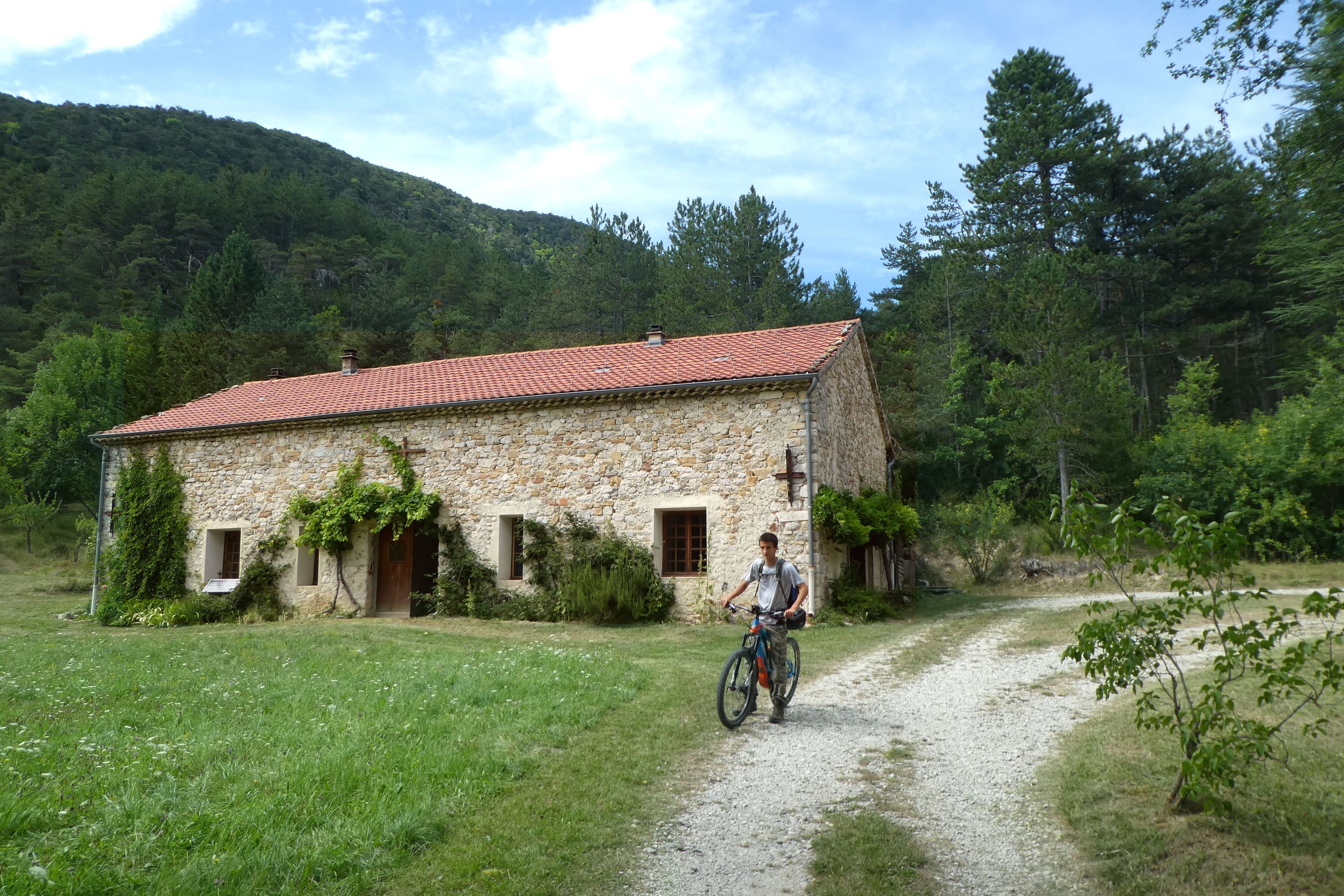
Valdoule Medium
Le bois de l'Infernet by mountain bike
Medium3h
18km
+611m
-613m
Loop
Embed this item to access it offline
Follow the red Mountain Bike Trail No. 5
Description
- Take the D 26 downhill toward Bruis.
- Leave Trail No. 1 (the Ruisseau des Combes) by turning right onto the Infernet trail. No fewer than four bike trails run through this Oule National Forest all the way to the Plaines intersection.
- Turn right. Stay with the mountain bikers on Route No. 7. As you gradually gain elevation, the view opens up toward the giant of Provence, Mont Ventoux.
- At the intersection (1,255 m), head toward the Col des Praux (or, to avoid an extra 500 m to reach the Col des Praux, take the trail that descends to the right. Watch out for water runoff channels and hikers on the GR 91 trail). Descend to the right along the trail.
- Reach a road, turn right, and follow the Oule River to Montmorin.
- Departure : Village, Montmorin
- Arrival : Village, Montmorin
- Towns crossed : Valdoule
Forecast
Altimetric profile
Information desks
Place du Lac, 05700 Serres
Transport
- Let’s limit travel and consider public transportation and carpooling: https://zou.maregionsud.fr
- On-Demand Regular Service: to Nyons or Vaison-la-Romaine: Tuesdays only, by reservation 24 hours in advance at 0810262607 or 0475278419.
Access and parking
From Serres (21 km), take the D 994 west. After L'Epine, follow the D 26 north to Montmorin.
Parking :
Village, Montmorin
More information


Report a problem or an error
If you have found an error on this page or if you have noticed any problems during your hike, please report them to us here: