Le Circaète by mountain bike
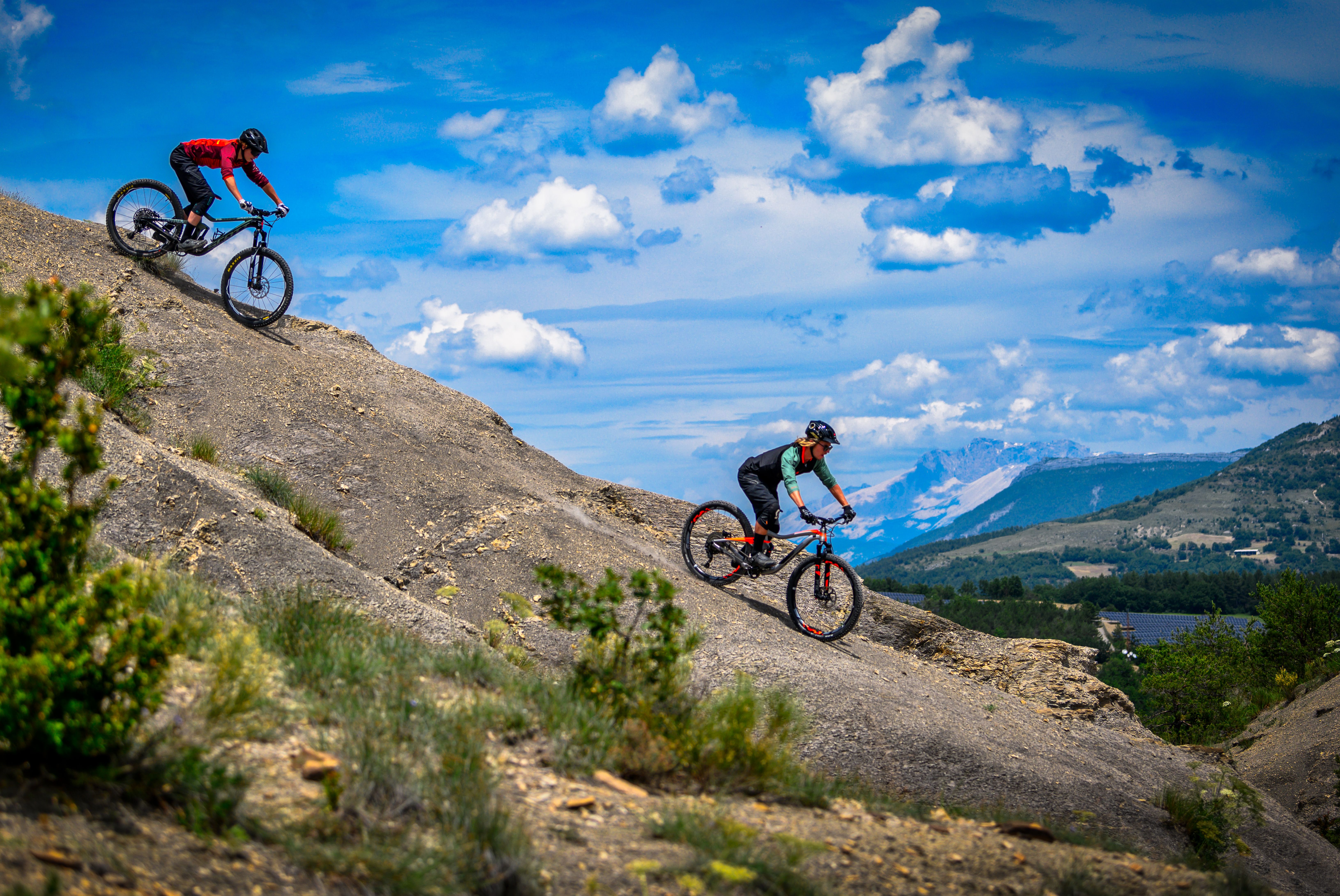
Garde-Colombe Medium
Le Circaète by mountain bike
Medium3h
18,9km
+608m
-607m
Loop
Embed this item to access it offline
Follow mountain bike trail No. 2
Note: At waypoint 10, there is an alternative route to avoid a more strenuous climb on the trail.
Note: At waypoint 10, there is an alternative route to avoid a more strenuous climb on the trail.
Description
- From the town hall, head down Rue des Jardins (D 30c), then turn right onto Route de Trescléoux until you reach the roundabout. Continue straight ahead on the D 130b and cross the Céans.
- Turn right toward Saléon. Drive straight through the village. The road turns into a dirt track. Continue straight ahead past the pond.
- At the bottom of the logging trail, turn left, then, at the intersection with a more clearly marked trail, turn right (along a hedge). Follow the Tuilière stream for a while until you reach the hamlet of La Brune. Cross the Ollagnier stream and rejoin the road (elevation 692 m).
- Turn right.
- After 350 m, follow the road left at the intersection, then almost immediately right (onto the D 30b).
- Take a trail to the right. It leads to a track and then to a road.
- Turn left, then right toward Les Planes.
- Leave the path to take the dirt road on the right at a bend, just before the houses in Les Planes. Walk along the orchards and fields to reach the hamlet of La Pension.
- At the hamlet of La Pension, turn right and cross the bridge. Pass Les Parayres and reach the Eyguians road (D 30).
- Turn right onto the road and then take a left onto a small trail about 150 meters past the recycling center (alternative, less strenuous option: at the junction with the D30, you can avoid the tedious climb up the steep trail by taking the road toward Le Junchier (60 meters to the left after reaching the D30 at reference point 10 on the map)). This trail climbs along the edge of the gray marl formations. You may need to push your bike in some sections. Further up, the trail joins a road leading toward Junchier/Adrech/Les Turcs. The road turns into a dirt track.
- At a hairpin turn, take a trail on the right that climbs gradually and winds through an oak grove.
- Follow the GR to the right. The route passes at the foot of Montagne de Garde, then through beautiful marl formations.
- Reach the dirt road and leave the GR by turning right. In Garelle, continue along the road to the left.
- Just before the Blaisance Bridge, take a trail to the right. It leads to the Lagrand plateau. Complete the route by following the dirt road to the left to Lagrand.
- Departure : Town hall, Lagrand
- Arrival : Town hall, Lagrand
- Towns crossed : Garde-Colombe, Saléon, Nossage-et-Bénévent, and Orpierre
Forecast
Altimetric profile
Information desks
Place des Aires, 05300 Laragne-Montéglin
Transport
Let’s limit our trips and use public transportation and carpooling: https://zou.maregionsud.fr
Access and parking
From Laragne (7.5 km), take the D 1075, then turn left onto the D 30 (Eyguians junction). At the first roundabout, take the first exit toward Lagrand.
Parking :
Parking lot in Lagrand
1 point of interest
 Panorama
Viewpoint
From the Church of Saint-Antoine in Saléon, there is a magnificent view of the Laragnais region. From there, you can admire the Buëch River, Mount Chabre, and Mount Aup (also known as Mount Saint-Genis).
More information


Report a problem or an error
If you have found an error on this page or if you have noticed any problems during your hike, please report them to us here: