Col de la Croix by mountain bike
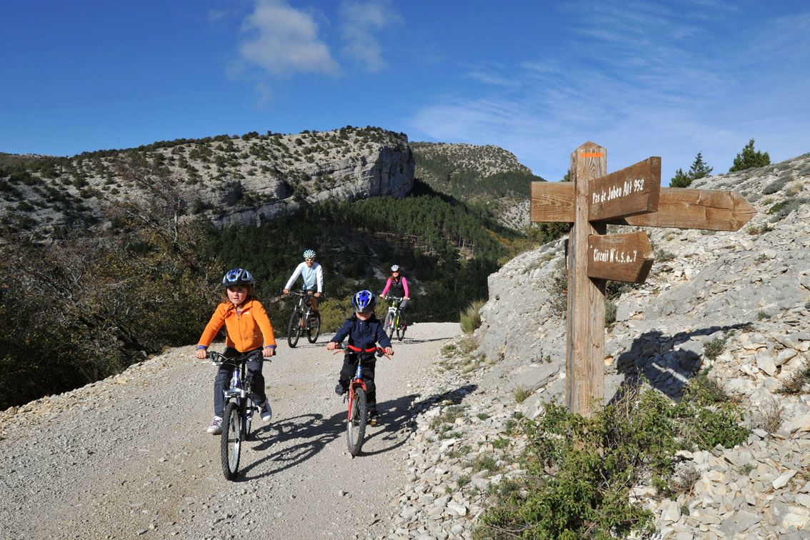
Savournon Easy
Easy
Col de la Croix by mountain bike
Easy1h
9,1km
+304m
-263m
Loop
Embed this item to access it offline
Follow the mountain bike trail N° 4 (VTT N°4)
Description
- Head up the main trail to the left. Take the botanical trail to explore the local flora and fauna.
- At the fork, continue down the trail to the right.
- At the hairpin turn, turn left. Stay on the main trail (Route Forestière du Colombier). Continue on the main trail to the left.
- Turn right to begin a long, winding descent on the Route Forestière des Lacs. At the intersection, enjoy the view of the Austrian pine plantations that help prevent erosion. Turn right.
- After the reservoir, turn right. Shift gears—it’s uphill!
- Back on the outbound route, turn left. Continue straight ahead to the Jubéo parking lot. Upon returning to the Jubéo parking lot, take advantage of the picnic tables to eat in the shade of the pine trees and cool off at the fountain.
- Departure : Jubéo, Savournon
- Arrival : Jubéo, Savournon
- Towns crossed : Savournon and Garde-Colombe
Forecast
Altimetric profile
Information desks
Place du Lac, 05700 Serres
Transport
Let’s limit our trips and use public transportation and carpooling: https://zou.maregionsud.fr
Access and parking
From Laragne (22 km), take the D 1075, then the D 21 to Savournon. Just before the village center, take a small road south to the Jubéo parking lot (forest ranger station).
Parking :
Jubéo parking lot (Maison forestière), Savournon
2 points of interest

 Pass
PassLa Croix pass
La Croix pass is the only straightforward roadway leading to Savournon and the Bâtie-Montsaléon. Located at 838 meters high, you can see Dévoluy massif, Aujour Mountain and Saint-Genis Mountain. From its peak, you can see a small statue of The Virgin Mary.
 Lake and river
Source of Saint-Lagier
The small source of Saint-Lagier crosses the route forestière du Château (forest road of the castle) passing under a bridge. The stream then flows into the Riou-torrent, as one of its many tributaries. They feed the river by digging the gorges of the same name. They also fill the lake of Riou.
More information


Report a problem or an error
If you have found an error on this page or if you have noticed any problems during your hike, please report them to us here: