Découverte autour de Savournon by mountain bike
Savournon Very easy
Découverte autour de Savournon by mountain bike
Very easy1h
6,1km
+139m
-140m
Loop
Embed this item to access it offline
Follow the Mountain Bike Trail No. 13 (VTT N°13)
Description
- Starting from the market hall, head toward the church on your left and follow the trail marked MTB No. 13 to the school.
- The D 21 road turns right. Follow it for another 200 m and continue along the GR trail toward Les Gonillons and the campground.
- Leave the D 21 and turn left.
- Leave the GR and turn right.
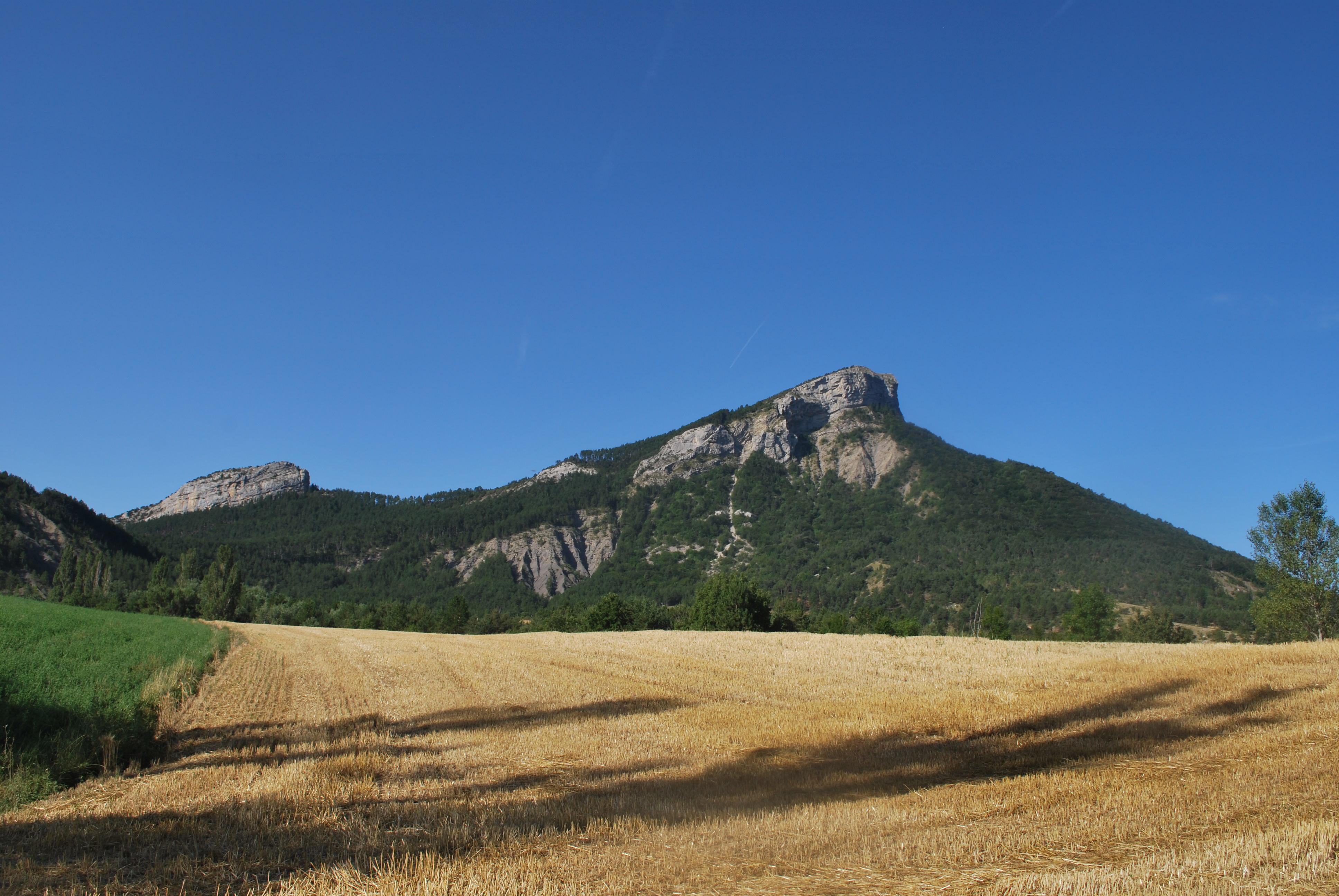
- Turn left toward Montagne d'Aujour and then continue straight toward the mountain.
- After the small sheepfold, at the four-way intersection, finally head down the left path! Return along the same route you took on the way there, crossing the farmyard until you reach the stop sign.
- Departure : La Bruissière hamlet (community hall), Savournon
- Arrival : La Bruissière hamlet (community hall), Savournon
- Towns crossed : Savournon
Forecast
Altimetric profile
Recommandations
You can stop at the Savournon Inn on the way back from the outing
Information desks
Place du Lac, 05700 Serres
Transport
Let’s limit our trips and use public transportation and carpooling: https://zou.maregionsud.fr
Access and parking
From Laragne (19 km), take the D 1075, then the D 21 to the hamlet of La Buissière (500 m before the village of Savournon).
Parking :
Parking lot at the community hall, La Buissière hamlet
1 point of interest

 Geology
Marl
North of the village of Savournon, between Pic de l'Aigle and Montagne d'Aujour, rises a low ridge of black marl. Marl is characteristic of the region, but these formations, which are particularly exposed, reveal themselves to passing hikers.
More information


Report a problem or an error
If you have found an error on this page or if you have noticed any problems during your hike, please report them to us here: