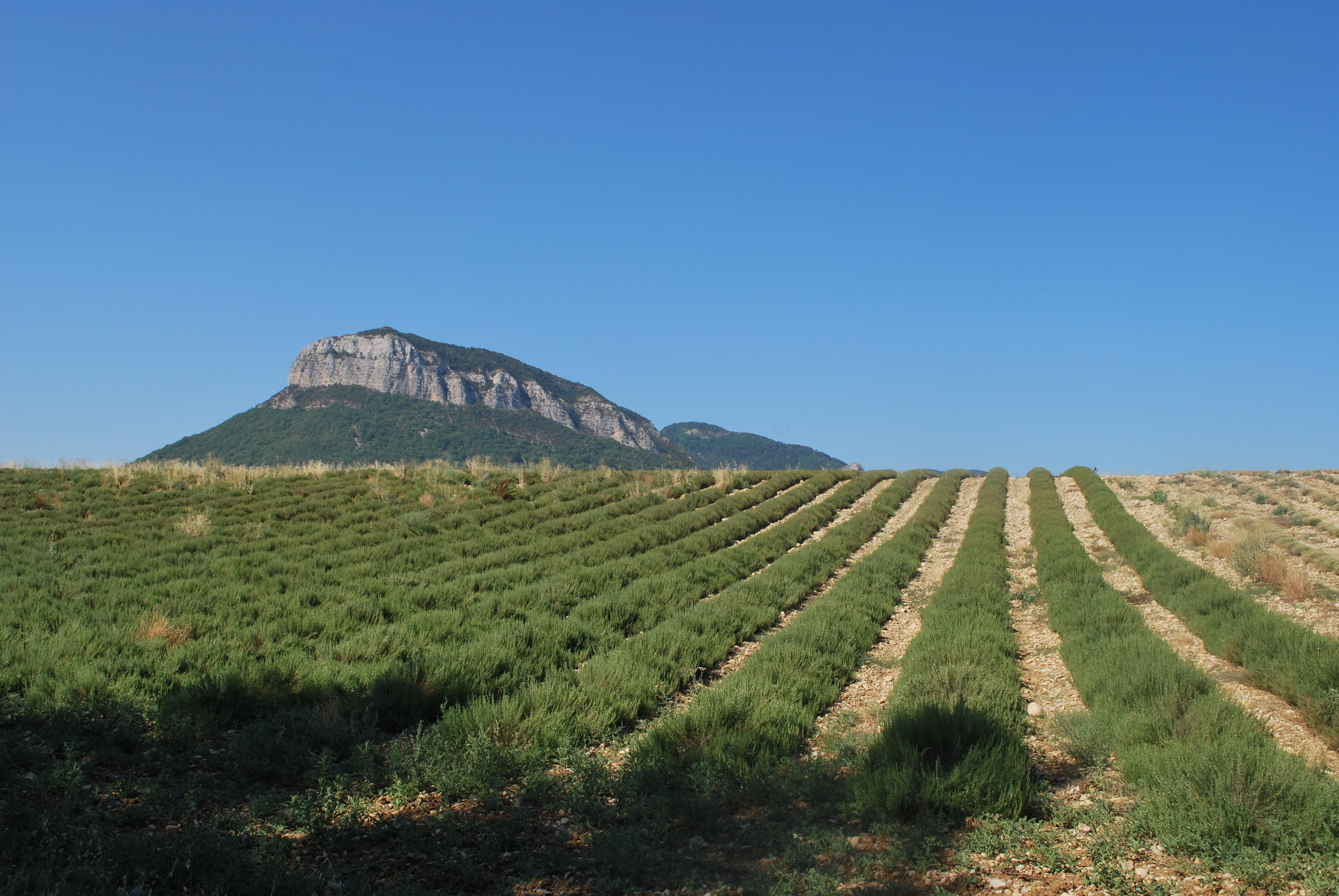
Plateau de Garenne by mountain bike
Trescléoux Easy
Easy
Plateau de Garenne by mountain bike
2h
14,5km
+268m
-268m
Loop
Embed this item to access it offline
Follow the mountain bike trail N°10 (VTT N°10)
Description
- In the village of Trescléoux, head toward Laragne via Rue des Commerces. Follow Route de la Tuilière.
- At the Tuilière intersection, turn left toward Méreuil-Serres.
- At Col de la Rochette, turn right. The paved road soon ends and gives way to a dirt track. Continue straight ahead on the main track. Stay on the main track to the right.
- The trail joins a paved road. Turn left. Take a break at the picnic area in the Bois de Garenne, then turn right.
- Turn left between the oak trees, then right onto the trail. The path leads to the edge of the Garenne plateau. Turn left.
- Continue to the right; the trail will soon begin to descend. Turn right again after crossing the compression.
- Return to the D 350l and turn right.
- At Truchet, turn right after the villa. Cross the D 949 and continue straight ahead; after crossing the Blaisance Bridge, take the trail on the left to reach the Lagrand Plateau.
- At point 665 on the Lagrand Plateau, turn right and follow the trail toward Ste-Grique.
- Head up above Ste-Grique via a small path that leads you over some lovely, undulating marl formations.
- When you reach the trail, turn left toward the trailhead lodge to reach Trescléoux.
- In Trescléoux, turn left toward the square, passing in front of the Gontard fountain.
- Departure : Church's place, Trescléoux
- Arrival : Church's place, Trescléoux
- Towns crossed : Trescléoux and Garde-Colombe
Forecast
Altimetric profile
Information desks

Place des Aires, 05300 Laragne-Montéglin
Transport
Let’s limit our trips and use public transportation and carpooling: https://zou.maregionsud.fr
Access and parking
From Sisteron (30 km), follow the D 4075 and D 1075 to Eyguians. At the intersection, take the D 949 toward Trescléoux.
Parking :
Church parking lot, Trescléoux
1 point of interest

 Lake and river
Blaisance river
La Blaisance takes its source upstream from the town of Montjay, it is a confluence of several torrents. It flows to the town of Garde-Colombe, passing through Trescléoux. It then flows into the Buëch.
More information
Report a problem or an error
If you have found an error on this page or if you have noticed any problems during your hike, please report them to us here: