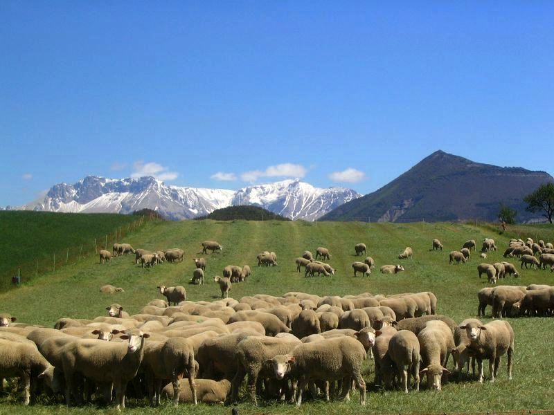
Le champ de la bataille
Bâtie-Montsaléon Easy
Easy
Le champ de la bataille
1h
3,8km
+84m
-85m
Loop
Embed this item to access it offline
Description
- From the town square in La Bâtie-Montsaléon, in front of City Hall, head up into the old village and wind your way through the narrow streets to the castle.
- Go around it on the left and follow the trail that runs along the Marésieu plateau for 1.5 km. At the end of the plateau, descend to the right for 50 m, cross a trail, and continue along the winding path, then turn right following the contour line, running alongside the cultivated fields.
- Then descend to the left on an old trail to reach the paved road (Chabestan / La Bâtie-Montsaléon).
- Take this road to the right for 1.3 km to La Bâtie-Montsaléon.
- Departure : Place de la Mairie, la Bâtie-Montsaléon
- Arrival : Place de la Mairie, la Bâtie-Montsaléon
- Towns crossed : Bâtie-Montsaléon
Forecast
Altimetric profile
Recommandations
Perfect for families
Information desks
Place du Lac, 05700 Serres
Transport
Let’s limit our trips and use public transportation and carpooling: https://zou.maregionsud.fr
Access and parking
From Serres (8 km), head toward Gap on the D 994 for 6 km. Turn right onto the D 148 to reach the village of La Bâtie-Montsaléon.
Parking :
Parking around City Hall, La Bâtie-Montsaléon
Accessibility
- Emergency number :
- 114
More information
Report a problem or an error
If you have found an error on this page or if you have noticed any problems during your hike, please report them to us here: