Tour du Mont de Garde
Trescléoux Medium
Tour du Mont de Garde
2h
7,1km
+446m
-451m
Loop
Embed this item to access it offline
Description
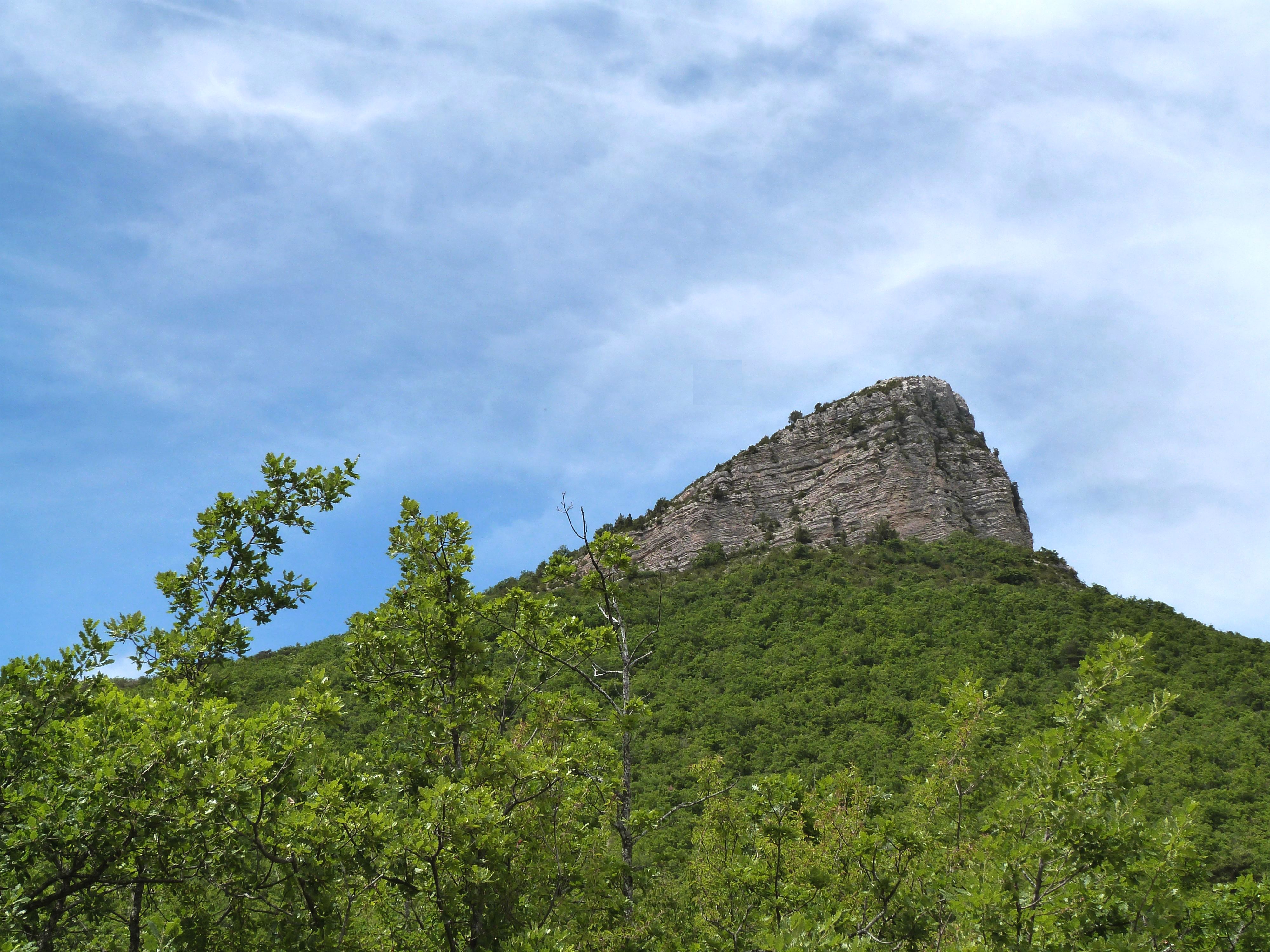
This route, which follows trails and paths, features a pyramid-shaped elevation profile. After an initial ascent with varying gradients, punctuated by eroded sections and tricky passages, the route reaches Mont de Garde (1,080 m) and its lookout point, which offers a 360° view of the valley. You then follow the GRP Tour du Buëch. The descent takes place through the woods, then follows the ridge of a rocky outcrop before plunging down a steep slope to reach a trail.
- Departure : Church square, Trescléoux
- Arrival : Church square, Trescléoux
- Towns crossed : Trescléoux and Garde-Colombe
Forecast
Altimetric profile
Recommandations
- Follow the PR trail markers, then switch to the GRP Tour du Buëch markers once you reach the Col de Garde.
- Please note: part of the trail also crosses a horse trail.
Information desks

Place du village, 05700 Orpierre
Transport
Let’s limit our trips and use public transportation and carpooling: https://zou.maregionsud.fr
Access and parking
From Laragne-Montéglin (12 km), take the D 1075 and D 949 to Trescléoux.
Parking :
Church parking lot, Trescléoux
1 point of interest

 Lake and river
Blaisance river
La Blaisance takes its source upstream from the town of Montjay, it is a confluence of several torrents. It flows to the town of Garde-Colombe, passing through Trescléoux. It then flows into the Buëch.
More information
Report a problem or an error
If you have found an error on this page or if you have noticed any problems during your hike, please report them to us here: