
Le Montsérieux by mountain bike
Gigors Medium
Le Montsérieux by mountain bike
Medium3h
17,3km
+651m
-650m
Loop
Embed this item to access it offline
Follow the Mountain Bike Trail No. 10 (VTT N°10)
Description
- From the parking lot in front of the church in Gigors (875 m), follow Route D 951 toward La Motte du Caire until you reach the edge of the village.
- At L’Oratoire (880 m), pass the trail on your right (this is where your hike will end). Continue along the road for 450 m.
- At a place called Les Aires (905 m), pass mountain bike trail #9 on your left and continue on the D 951 for 3.1 km past the Col du Sarraut (985 m).
- At 964 m, turn right onto the forest trail toward Montsérieux. Pass two trails on the right and four on the left; after 8.5 km, you’ll reach a fork with a trail.
- At an elevation of 1,418 m, continue along the trail, leaving the path on your left that descends toward Venterol. Another trail appears after 500 m.
- On the Colle ridge (1,376 m), again let the trail descend to the left toward Piégut. Continue along the trail for 1.5 km, passing one trail on your right.
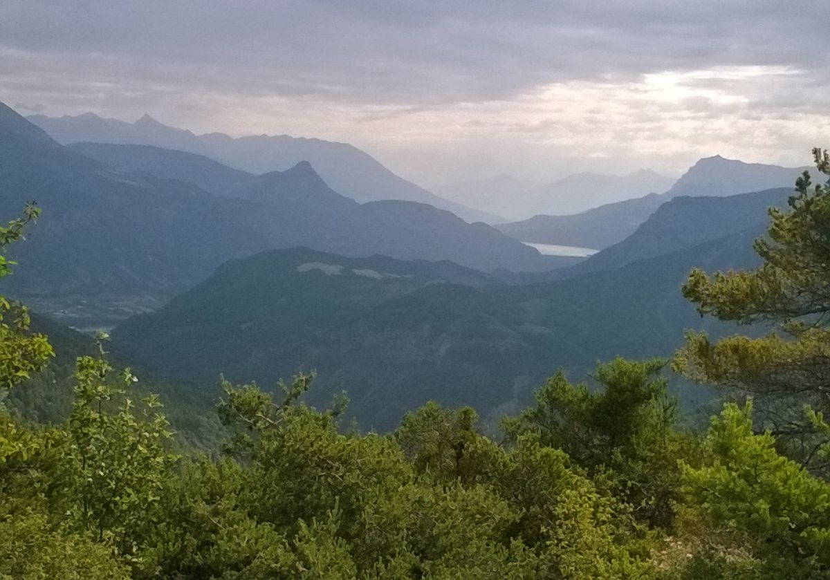
- At 1,300 m, leave the trail and take a nice path on the right that descends along the ridge with a view of Lake Serre-Ponçon.
- Continue the descent along the path on the right; there is a short steep section, followed by a pleasant finish.
- Departure : Church, Gigors
- Arrival : Church, Gigors
- Towns crossed : Gigors and Piégut
Forecast
Altimetric profile
Recommandations
- Bike service station (bike wash, air pump, water fountain) in Clamensane (in front of City Hall).
- Ride along the magnificent slopes of the black soil on the Lachau Ridge.
- Be careful at Champas—there’s a short technical section.
Information desks
Transport
Let’s limit our trips and use public transportation and carpooling: https://zou.maregionsud.fr
Access and parking
From Gap (31 km), follow the D 900B south. After Remollon, take the D 951 to Gigors.
Parking :
Church's parking lot, Gigors
More information


Report a problem or an error
If you have found an error on this page or if you have noticed any problems during your hike, please report them to us here: