
Montée de Saint-Jacques
Châteaufort Medium
Montée de Saint-Jacques
Medium2h30
13,4km
+777m
-777m
Return trip
Embed this item to access it offline
Follow the yellow markers on the PR trail
Description
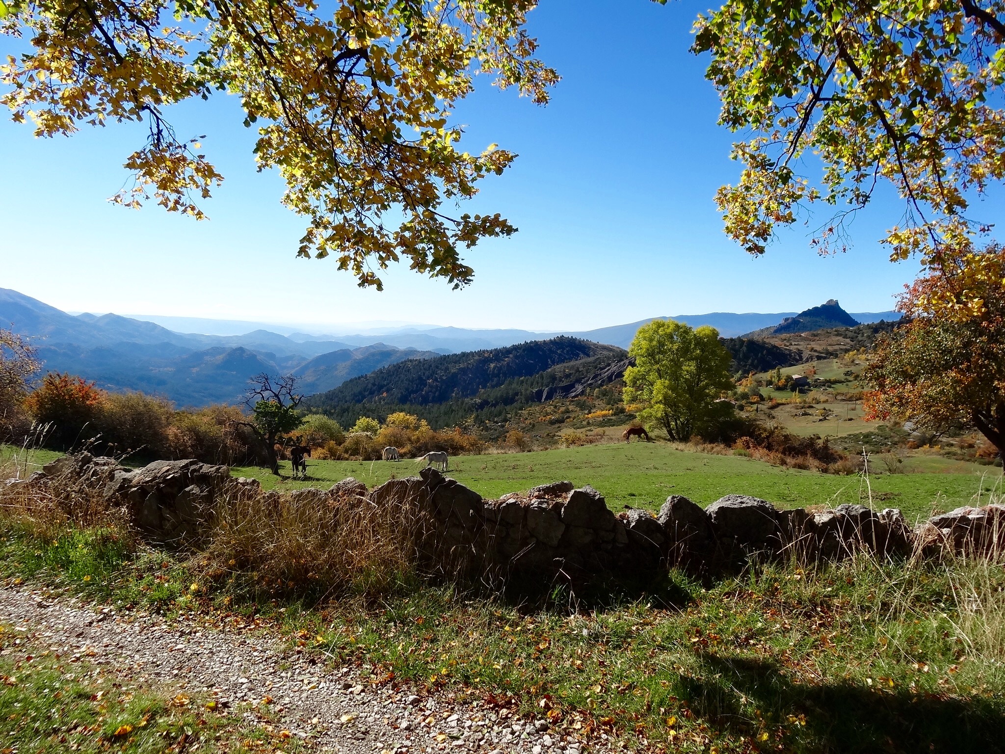
Pass through the village of Châteaufort (638 m) and, at the last houses, follow the red-and-white trail to the left. The trail descends to the stream. From the bridge, a gentle but steady, shaded climb leads to the pass (1,167 m) between the peaks of Lauzas and Gourras. From there, a gentle, open descent leads to Saint-Geniez (1,110 m).
For the return trip, follow the ascent directions in reverse.
For the return trip, follow the ascent directions in reverse.
- Departure : Town hall, Châteaufort
- Arrival : Town hall, Châteaufort
- Towns crossed : Châteaufort, Valernes, and Saint-Geniez
Forecast
Altimetric profile
Information desks

1 place de la République, 04200 Sisteron
Transport
Let’s limit our trips and use public transportation and carpooling: https://zou.maregionsud.fr
Access and parking
From Sisteron (15 km), take the D 951 and then the D 454 to Châteaufort.
Parking :
Town hall parking lot in Châteaufort
More information


Report a problem or an error
If you have found an error on this page or if you have noticed any problems during your hike, please report them to us here: