Crêtes de Raton

Description
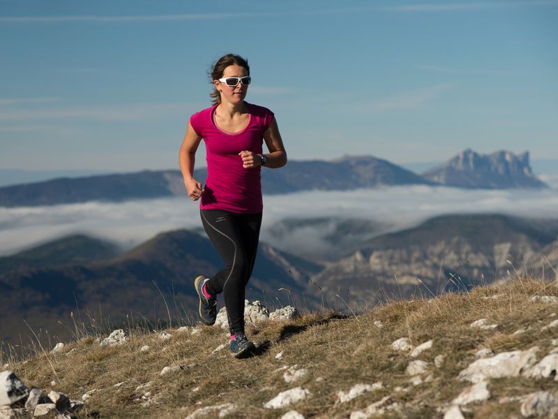
Stretching 12.5 km with 800 m of elevation gain, this loop takes you up the challenging Raton Ridge climb. Punctuated by a few flat sections, this climb ends with a magnificent 360° view. Return to the hamlet of Raton via the Col de la Fromagère (1,070 m).
- Departure : Raton's hamlet, Rosans
- Arrival : Raton's hamlet, Rosans
- Towns crossed : Rosans, Verclause, Cornillac, and Pommerol
Forecast
Altimetric profile
Recommandations
- For the more adventurous, you can start from Rosans via the famous “postman’s trail.”
- Be careful—some sections are exposed to the wind.
- An alternative route along the Raton Ridge is also possible.
Information desks

Rue Aristide Briand, 05150 Rosans
Transport
Access and parking
From Nyons (at 41 Km), drive towards Gap on the departemental road D 94. In Rosans, take the departemental road D 25 in the direction of « Col de la Fromagère ». After more or less 3 Km, take a smaller road heading to the Raton’s hamlet. The road quickly turns into a track and ends up at the hamlet.
Parking :
2 points of interest
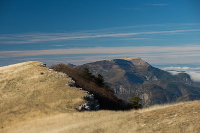
La crête de Raton - Ricardo Flores Espinosa  Summit
Raton Mountain
Located at Rosans’ north-west, Raton’s mountain offers a 360° panoramic view from it’s ridge.
This mountain oriented east-west divides the Rosanais valley from L’Oule valley. It’s shape is caracteristic from the Jurassic period. The north side (ubac) is a rock slide area including a fir trees wood in the upper part and a pine trees one beneath this area. On the summit of the south side (adret) greenery is lacking a lot. There barely is some grass. Lower, an area of box trees, broom flowers and oaks grows. Torrents makes the mountain’s side craggy.

 Pass
PassPommerol pass
Pommerol pass is a crossing point between Les Hautes-Alpes and La Drôme, two French departments. Also named Col de la Fromagère, the pass is reachable from the tracks of Suquet and Raton’s ridges. The pass overlook the public forest of Eygues.
More information
Report a problem or an error
If you have found an error on this page or if you have noticed any problems during your hike, please report them to us here: