Crêtes de Chamouse (N°1)
Laborel Medium
Crêtes de Chamouse (N°1)
4h30
11km
+548m
-543m
Loop
Embed this item to access it offline
Description
- At the signpost, take the trail that descends to the left. At the intersection near the ruins, turn right and pass the “DFCI – Tussie Reserve” sign. At the next fork, turn right, follow the winding trail uphill, and cross a small stream. Continue up the trail until you reach a meadow. Continue straight ahead to reach a small path that runs alongside a fence. Follow this path and, further on, at the intersection, go straight ahead; you can also climb directly up to the ridge on the right. Cross a small dry stream and then a marl area. Then climb to the Col de Tous les Vents, preceded by a short stretch through the forest.
- At the pass, continue along the trail to the right, then cross a national forest by taking a wide trail to the right.
- At the next intersection, turn right and head uphill to reach the Col d’Izon (1,343 m).
- At the Col d’Izon, turn right toward “Montagne de Chamouse – 1.5 km.” Follow the markers leading to the vast Chamouse mountain pastures. Cross the pastures to the summit of Chamouse (1,532 m). There is no longer a trail on this section of the route; follow the cairns. Descend 900 m along the ridge.
- At the signpost, turn right onto a small path descending into the forest (“La Tussie” - 1,430 m) toward “Laborel.” Cross the beech forest and continue descending. Further down, the path becomes a trail. Follow this trail back to the starting point.
- Departure : Route de Perty - Piste de la Tussie, Laborel
- Towns crossed : Laborel, Izon-la-Bruisse, and Montauban-sur-l'Ouvèze
Forecast
Altimetric profile
Information desks

Place du village, 05700 Orpierre
Transport
- Let’s limit travel and consider using public transportation or carpooling: https://zou.maregionsud.fr
- On-demand transportation (book at least 24 hours in advance): 08 10 26 26 07
Access and parking
From Laragne (26 km), take the D 1075 road, then the D 30 (Eyguians junction) towards Orpierre, then the D 65 to Laborel and continue towards the Col de Perty. At a hairpin curve on the right, turn left onto the track (signposted ‘DFCI – réserve de la Tussie’).
Parking :
Parking lot on Route de Perty (signpost), Laborel
1 point of interest

 Summit
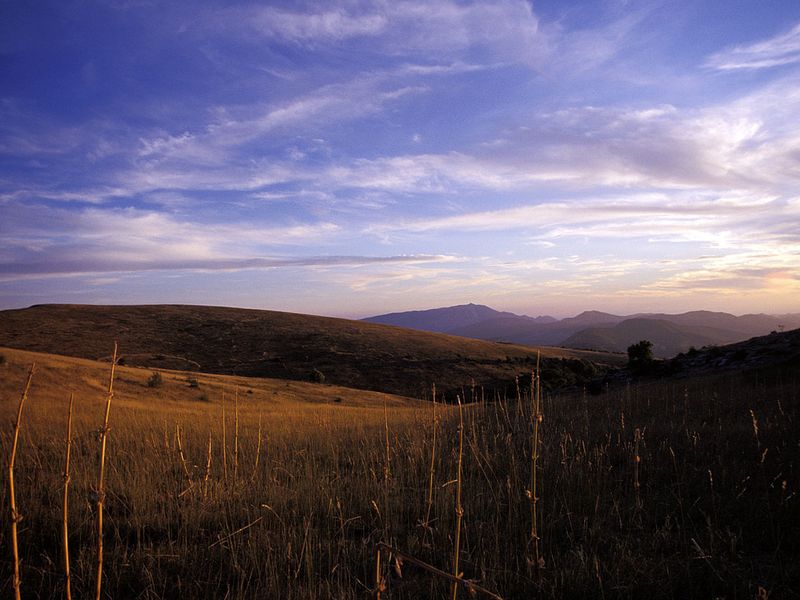
Chamouse summit
This summit offers a magnificent view with a 360° panorama. The Orpierrois region unfolds before you, and numerous mountain ranges, such as Mont Ventoux and the Montagne de Chabre, are visible. A fault line is visible near the summit (caution advised).
More information
Report a problem or an error
If you have found an error on this page or if you have noticed any problems during your hike, please report them to us here: