
Le Roc de l'Aigle
Val Buëch-Méouge Hard
Hard
Le Roc de l'Aigle
Hard2h
12,7km
+774m
-774m
Loop
Embed this item to access it offline
Follow the yellow markers on the PR trail
Description
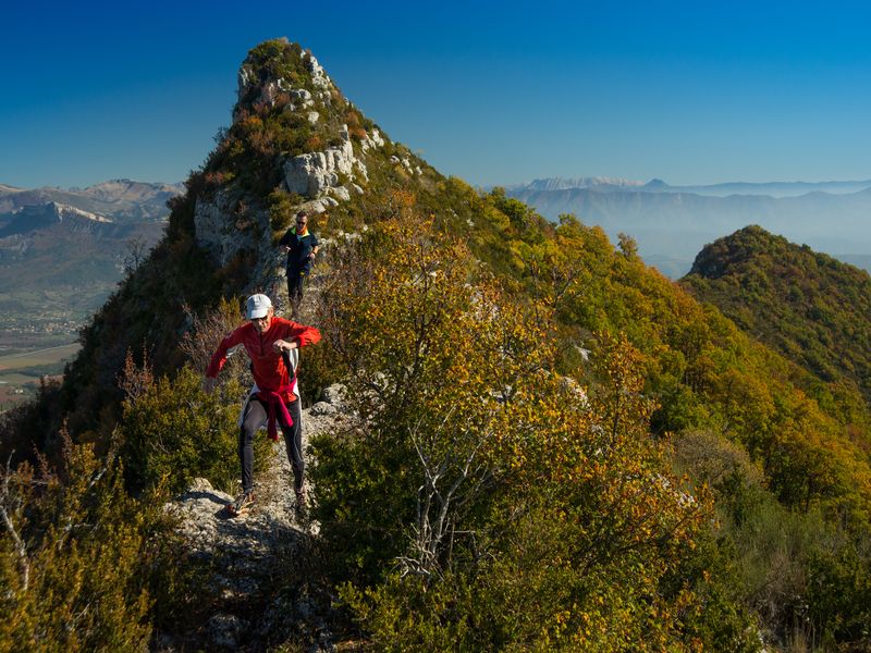
This 13-kilometer loop, which is fairly technical and challenging with 860 meters of elevation gain, becomes progressively more difficult until it reaches the Rocher de Pierre Impie, which it skirts around. The trail becomes quite steep and slippery on the scree slopes just before the ridge. Once on the ridge, the terrain becomes rocky and unstable all the way to the Roc de l'Aigle. The path winds through a few switchbacks and follows some fairly steep sections to exit the woods and reach Ribiers via a long paved road.
- Departure : Fountain, Ribiers
- Arrival : Fountain, Ribiers
- Towns crossed : Val Buëch-Méouge and Noyers-sur-Jabron
Forecast
Altimetric profile
Recommandations
- A few steep sections require using your hands
- The climb up to Rocher de Pierre Impie is quite steep
- The descent to Les Charles is a steep trail through the woods
Information desks
1 place de la République, 04200 Sisteron
Transport
Let’s limit our trips and use public transportation and carpooling: https://zou.maregionsud.fr
Access and parking
From Sisteron (9 km), follow the D 948 northwest toward Ribiers / Gorges de la Méouge.
Parking :
The square by the fountain and church, or on Grand'rue, Ribiers
More information


Report a problem or an error
If you have found an error on this page or if you have noticed any problems during your hike, please report them to us here: