Climbing site of Taillefer (Savournon)
Savournon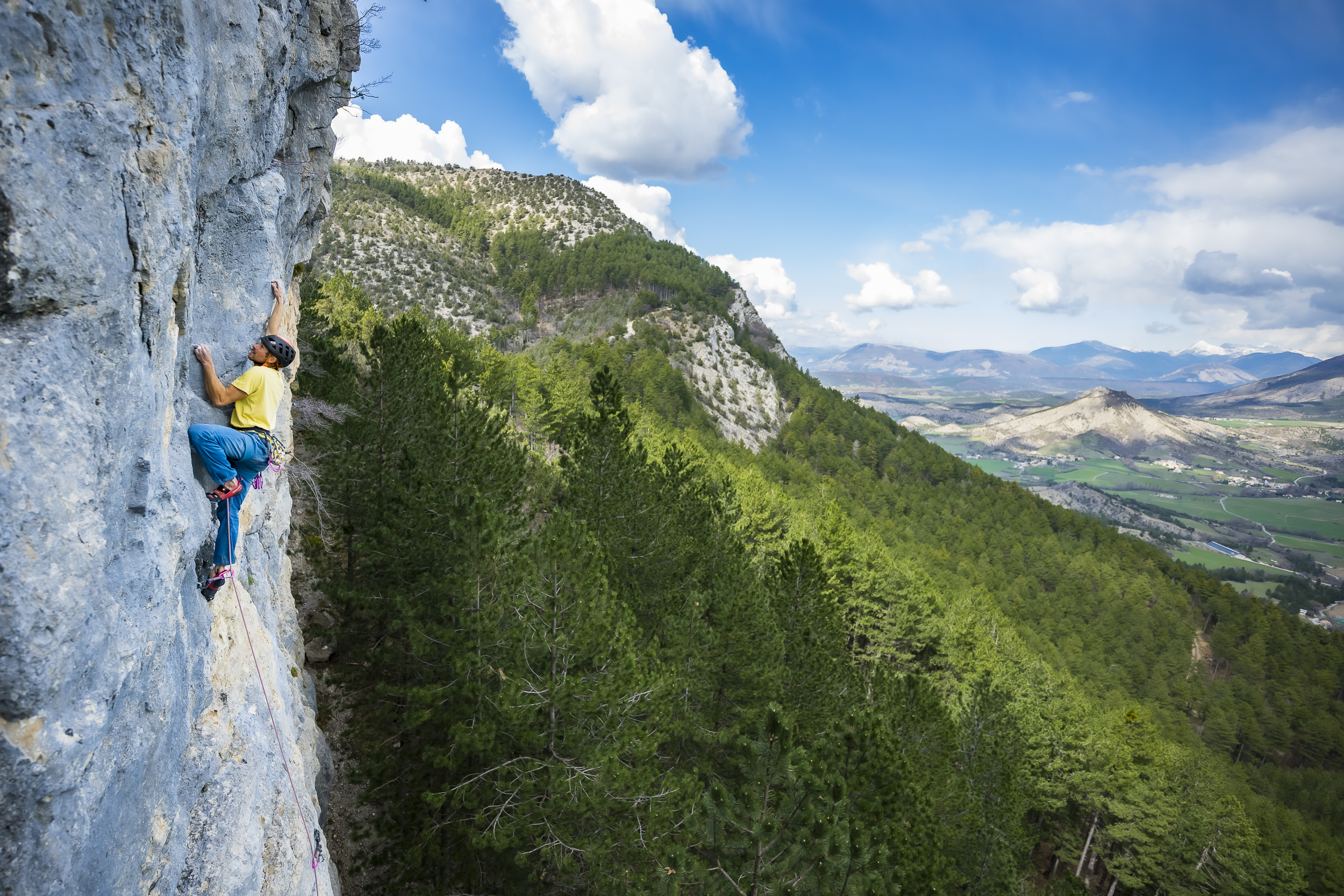
Climbing site of Taillefer (Savournon)
During summer
North - North-West
undefined :
Embed this item to access it offline
1 point of interest

 Flora
FloraBeynon Forest
Located between Savournon and Saint-Genis, the Forest of Beynon impresses with its huge pines. It also abounds in almost invisible species which are very remarkable either by their rarity or their specificity. Thus, it is possible to find there: Mougeot's whitebeam, astragalus de Montpellier or vesicaria, pectinate quitch and many other species.
Description
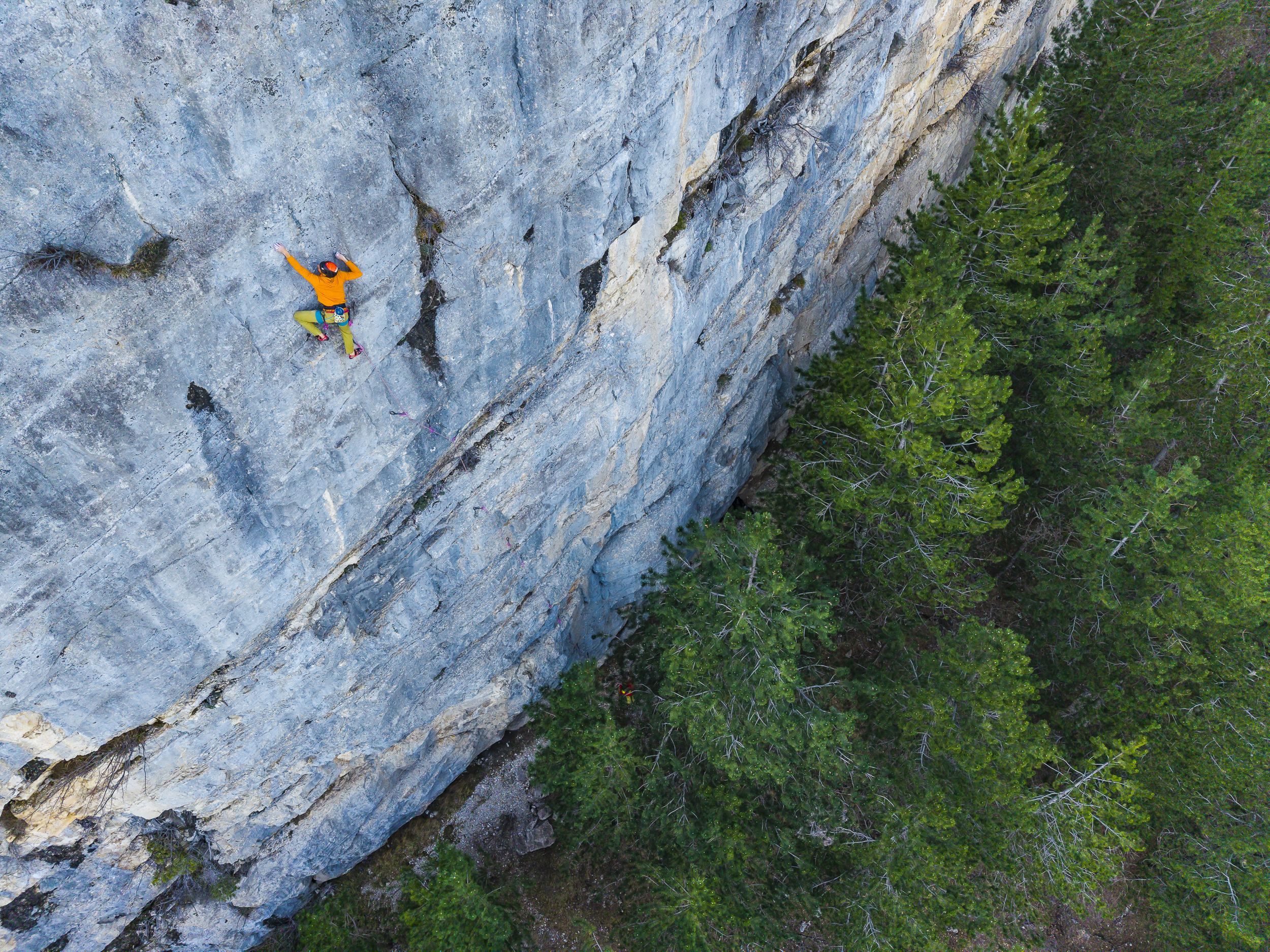
Site de Taillefer - Photo : Sam Bié
Managed by the Sisteronais-Buëch Community of Municipalities since 2023, the area offers 14 routes up to 35 meters long. Grades range from 6a (a single route) to 7b, including 4 two-pitch routes.
This is a site best enjoyed during the summer season (north-facing). The rock can be tricky, the grades are fairly strict, and the starts are bouldery.
Type of climbing: crag climbing.
Profile: vertical, overhanging.
You’ll find details on the routes in the guidebook “Escalade autour de Gap (Gap, Buëch, Champsaur, Valgaudemar, Dévoluy).”
You can purchase the digital version online HERE
or the print version online HERE.
Any incidents or damage can be reported to: tourisme@sisteronais-buech.fr or on Suricate
- Towns crossed : Savournon
Recommandations
- This is a Natura 2000 site located on the edge of the Revuaire Biological Reserve.
Since the site is located on the edge of a biological reserve managed by the National Forestry Office (ONF), NO NEW ROUTES MAY BE SET UP.
Any new route installed without consultation with the ONF will be removed.
- The season, weather conditions, and biodiversity will influence when climbing is possible.
In addition, certain areas or routes may be closed in the spring and part of the summer due, for example, to the nesting of certain bird species or the presence of bats.
Let’s respect them!
It is therefore essential to take these factors into account when planning your outing and to stay informed.
- Rocks and cliffs are favorite habitats for protected species
We ask that you be vigilant and stop your activity if you discover occupied nests.
As such, it is strictly prohibited to route-set without prior authorization and assessment of the risks involved.
Protect the environment: leave nothing behind and make sure you leave no trace of your visit. Take your trash with you. Fires are prohibited!
In case of urgent need, cover or bury your waste, take your toilet paper with you—and above all, do not burn it!
Do not write on the rock. Respect the facilities; do not alter them.
Thank you for your cooperation!
- You are in a natural mountain environment. At this altitude, the rock can be weakened each year by the freeze-thaw cycle. Despite maintenance and cleaning of the rock faces, THE RISK OF ROCKFALL IS ALWAYS POSSIBLE.
- WARNING! Climbing is undertaken solely at the climbers’ own risk; they remain entirely and solely responsible for the conditions and consequences associated with their activity.
- Safety rules and federal safety guidelines for climbing in natural settings:
► Prior training in the use of climbing equipment and safety techniques is essential.
► Use two anchor points to set up a top-rope or a belay station.
► Remember to always tie a knot at the end of the rope!
► Wearing a helmet is essential due to the risk of falling rocks.
► Climbing means knowing how to choose your gear, your own equipment, and the routes you take based on your technical skill level and experience. It also means knowing when to turn back if the site has features you cannot handle given your skill level.
If you encounter guard dogs, the proper actions to take are outlined at the following link: Médiation Pastorale
Accessibility :
- Parking: Park at the Jubéo National Forest parking lot.
- Walking access: 30 minutes. From the parking lot, follow the signs to the site. The trail quickly leads up a small hill to a pass offering a beautiful view. From there, follow the trail marked by a sign that climbs up and then descends toward the cliff.
Information desks
Place du Lac, 05700 Serres
1 place de la République, 04200 Sisteron
Forecast
More information
